Grizzlies of Bella Coola
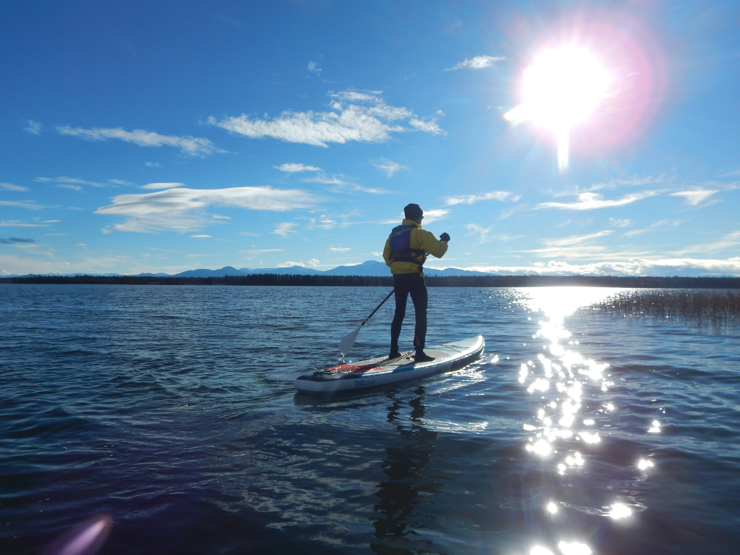
/After Grandview Chalet B&B shut down for the summer season, we took off in our almost-finished campervan (2018 Ford Transit hi-top) into BC for a late fall visit. First we stopped in on Kalavida Surf Shop in Coldstream, which is nicely situated on Lake Kalamalka, and picked up a couple of touring SUP’s. Conditions were great for trying them out!
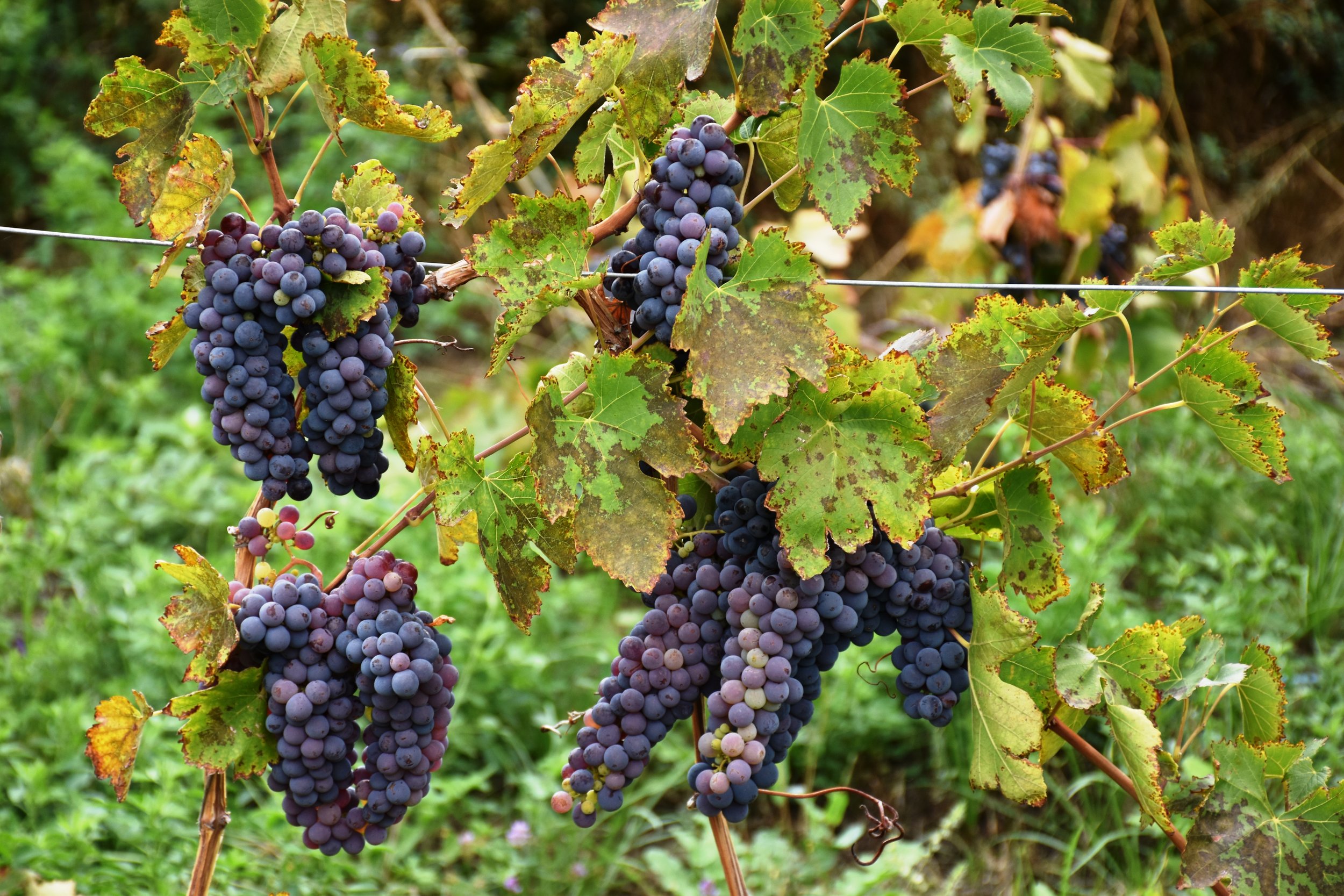
Next we headed to “The Gardens at Spences Bridge” to help out a brother with his new vineyard, located outside the town of Spences Bridge, in the Lower Thompson valley. This is kind of an area that time forgot - the TransCanada Highway runs through, but most traffic opts for the quicker Coquihalla Highway in the high hills to the east. James has some amazing grapes growing, and hopefully in 2019, he will be selling them to local wineries. He has a great variety! He also has some naturally grown produce, such as melons, squash and tomatoes.
After a quick visit into Vancouver urban madness, we were on a ferry to Nanaimo on Vancouver Island. We did some visiting and mountain biking, and then made our way north to Port Hardy. By that time, we’re into October, and there are no campgrounds seemingly open. When we checked in with BC Ferries, they told us we could park and camp in the non-existent ferry line-up. The next day, we were on our way some 6 hours late. But it was a beautiful sailing up the coast through the myriad of islands with grey whales occasionally showing off.

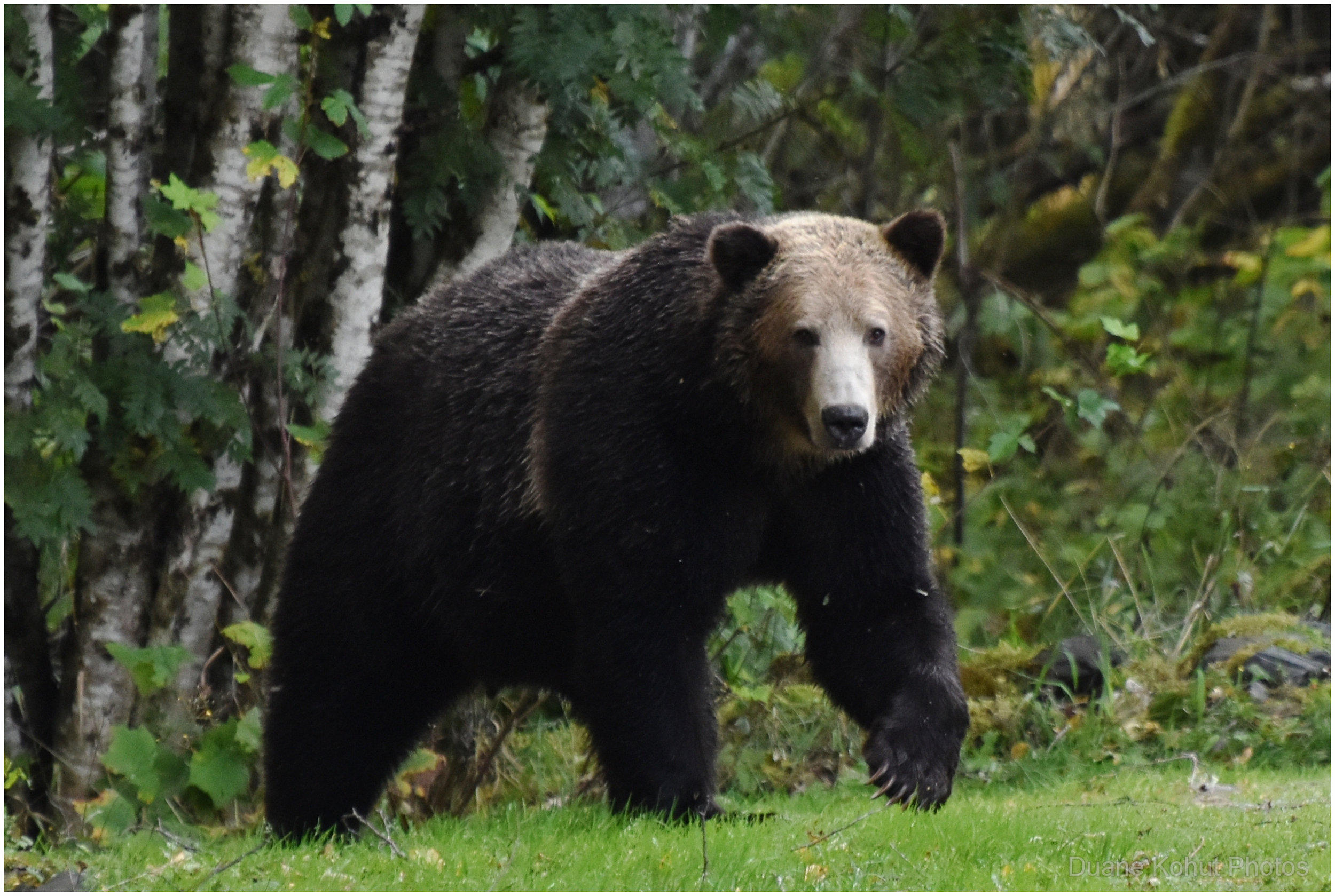
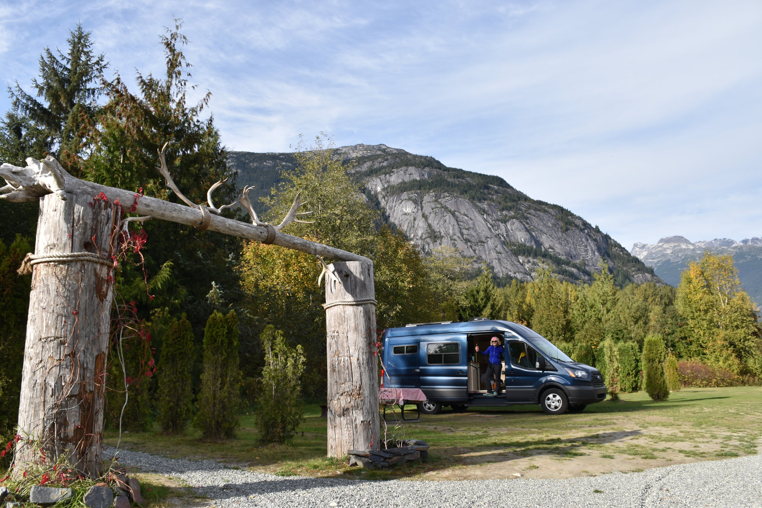
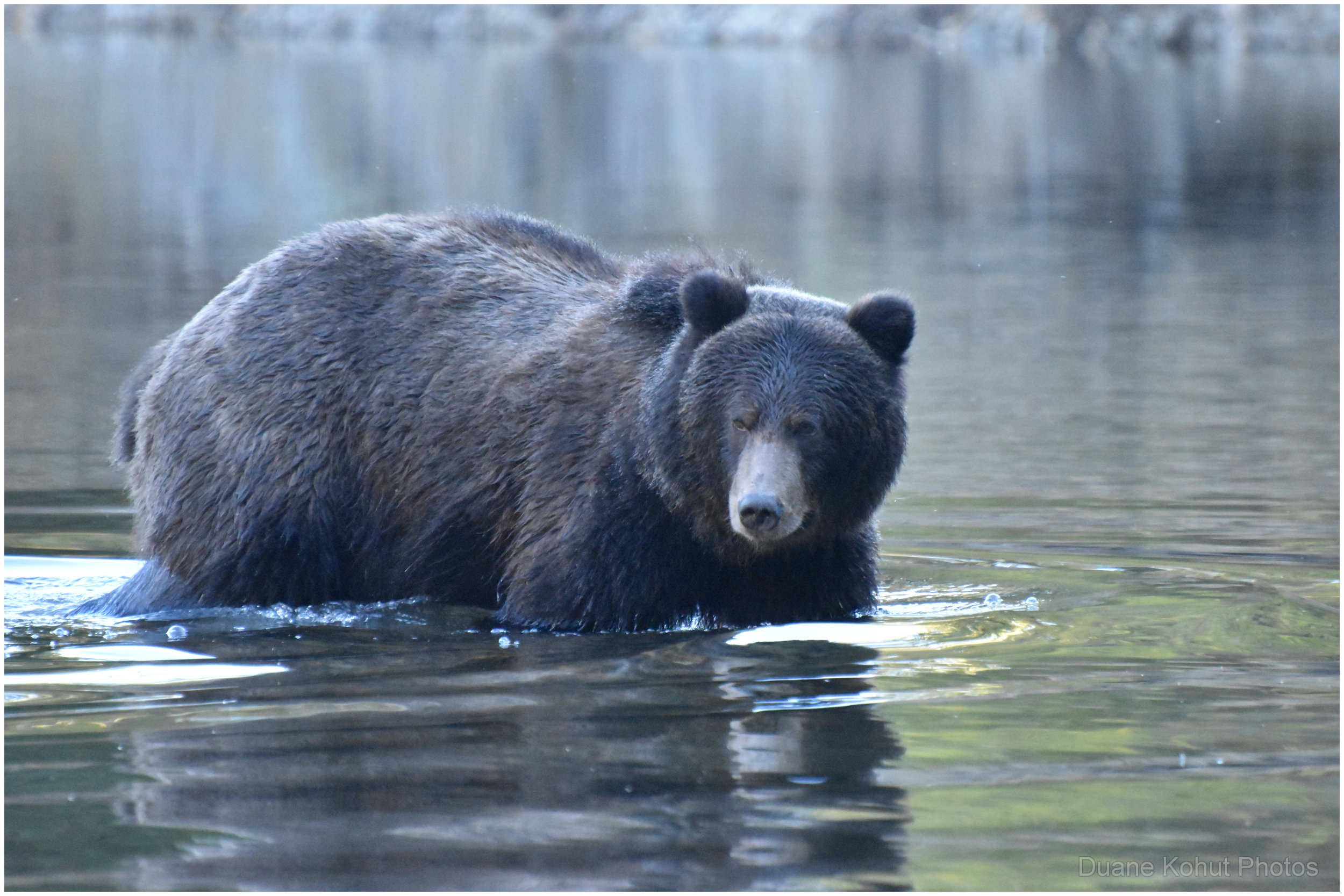
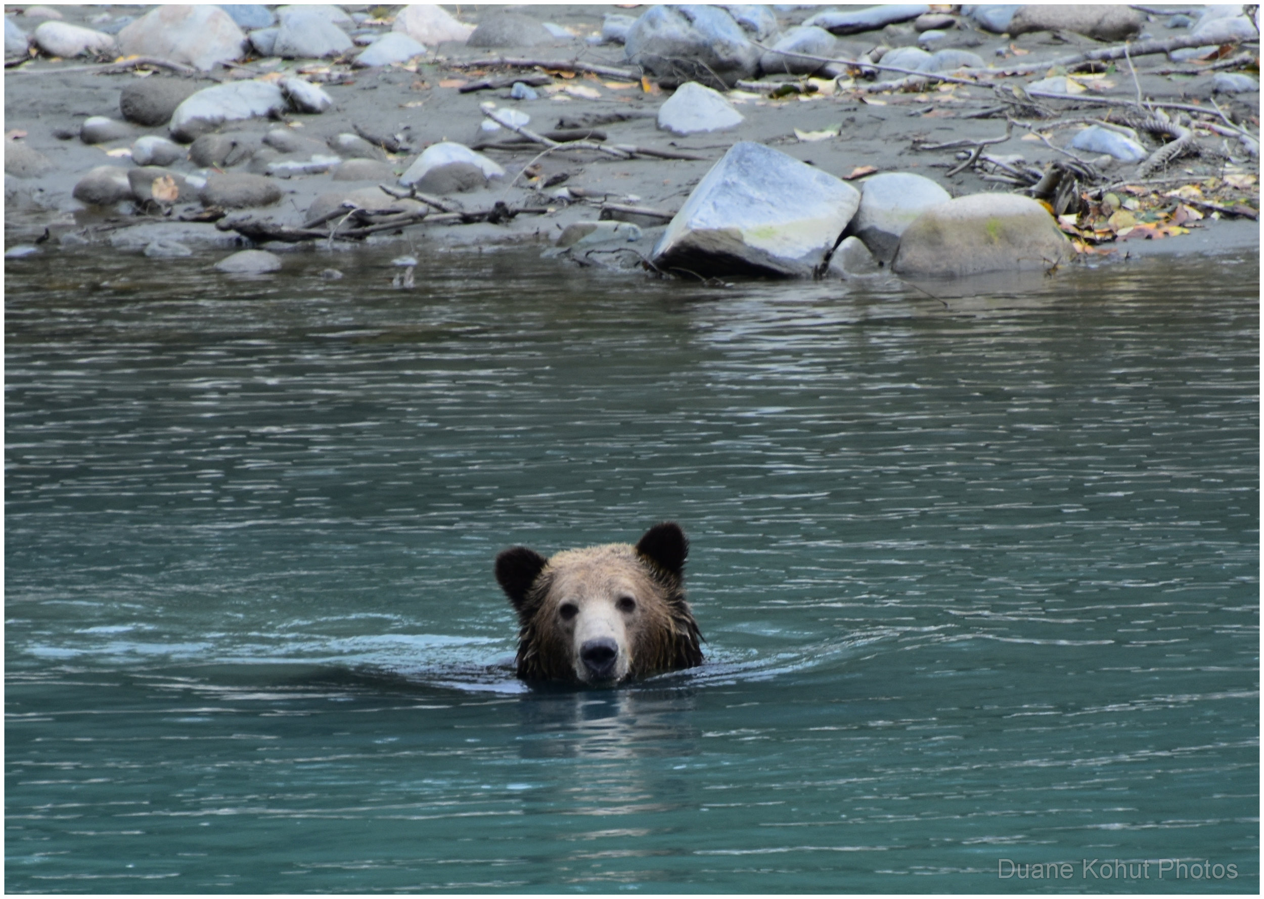
Winds prevented sailing up the fiord, so the ferry anchored for the night, and they gave us a berth. Early the next morning, we were on our way and soon docked in Bella Coola. After a town visit, we pulled into Rip Rap Campsite in the small village of Hagensborg, some 10 km east of Bella Coola. A very excellent private campground right on the Bella Coola river! We immediately saw our first grizzly in the area in the river fishing for salmon. Later on, he started feeding on mountain ash berries growing wild on trees in the campground. So, we got to see him a lot!
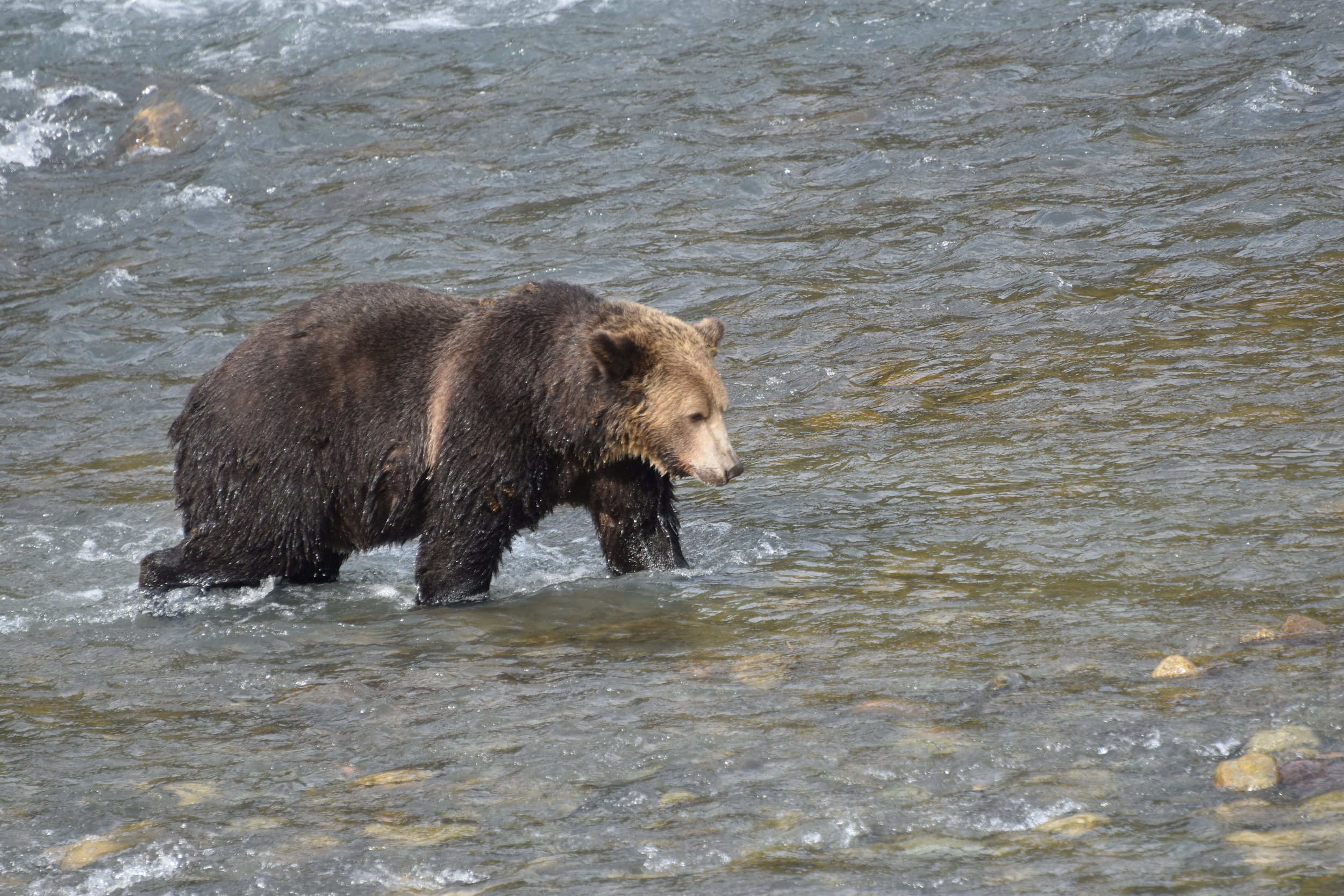
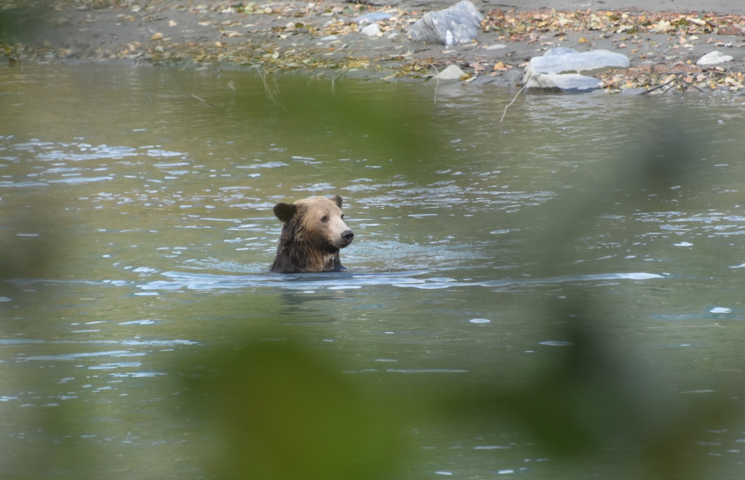
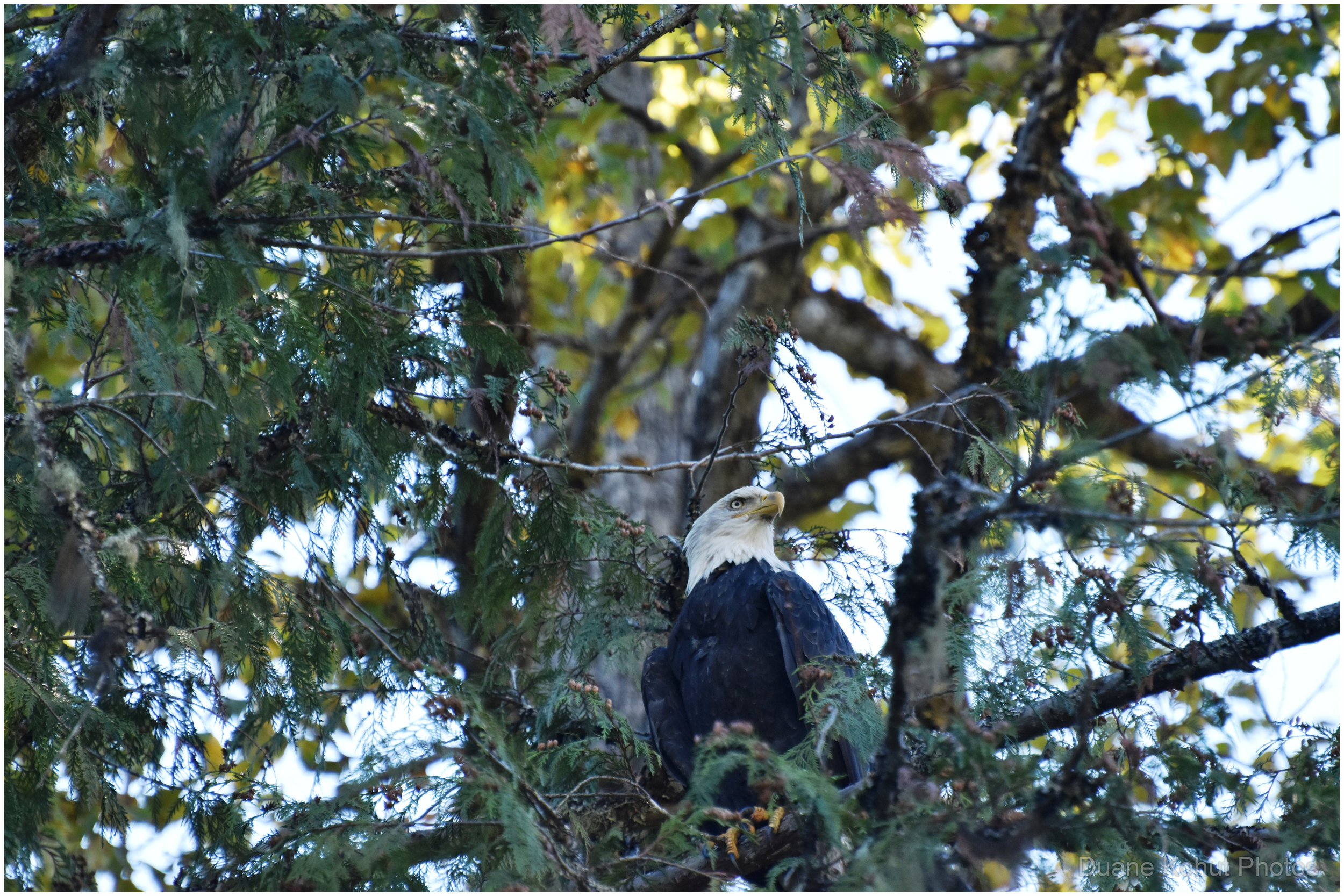
Next we tagged up with Kynoch Adventures, just a 10 minute walk from the campground, to do a bear watching float trip down one of the tributaries to the Bella Coola river in Tweedsmuir Provincial Park. The salmon run , by that time, had slowed, but there were a few sockeye that we saw. Basically, we got lucky and got quite close and personal with a grizzly who was still managing to pull some spawned salmon out of the river. Bald eagles and various other birds were hanging out for spoils. Note that we saw a dozen bears on our drive to the put-in!


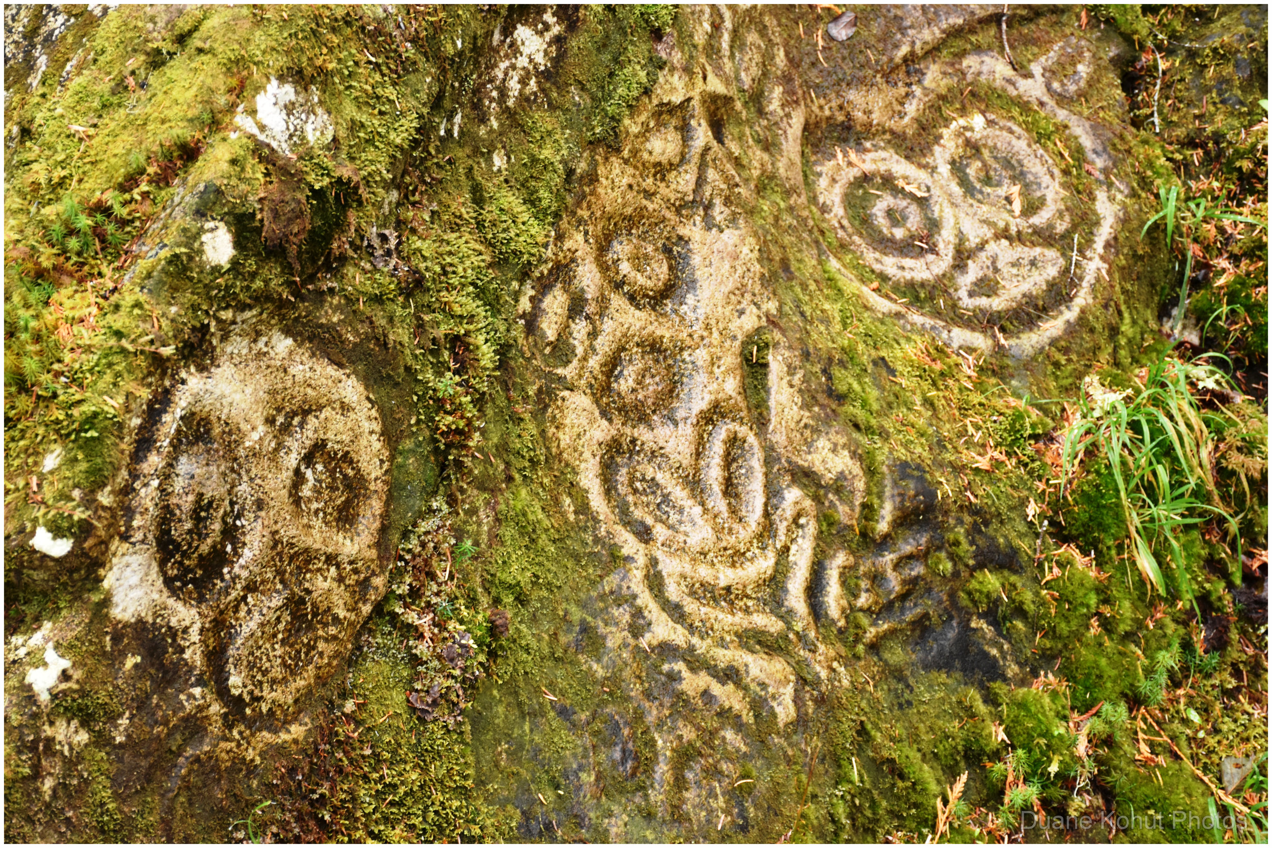
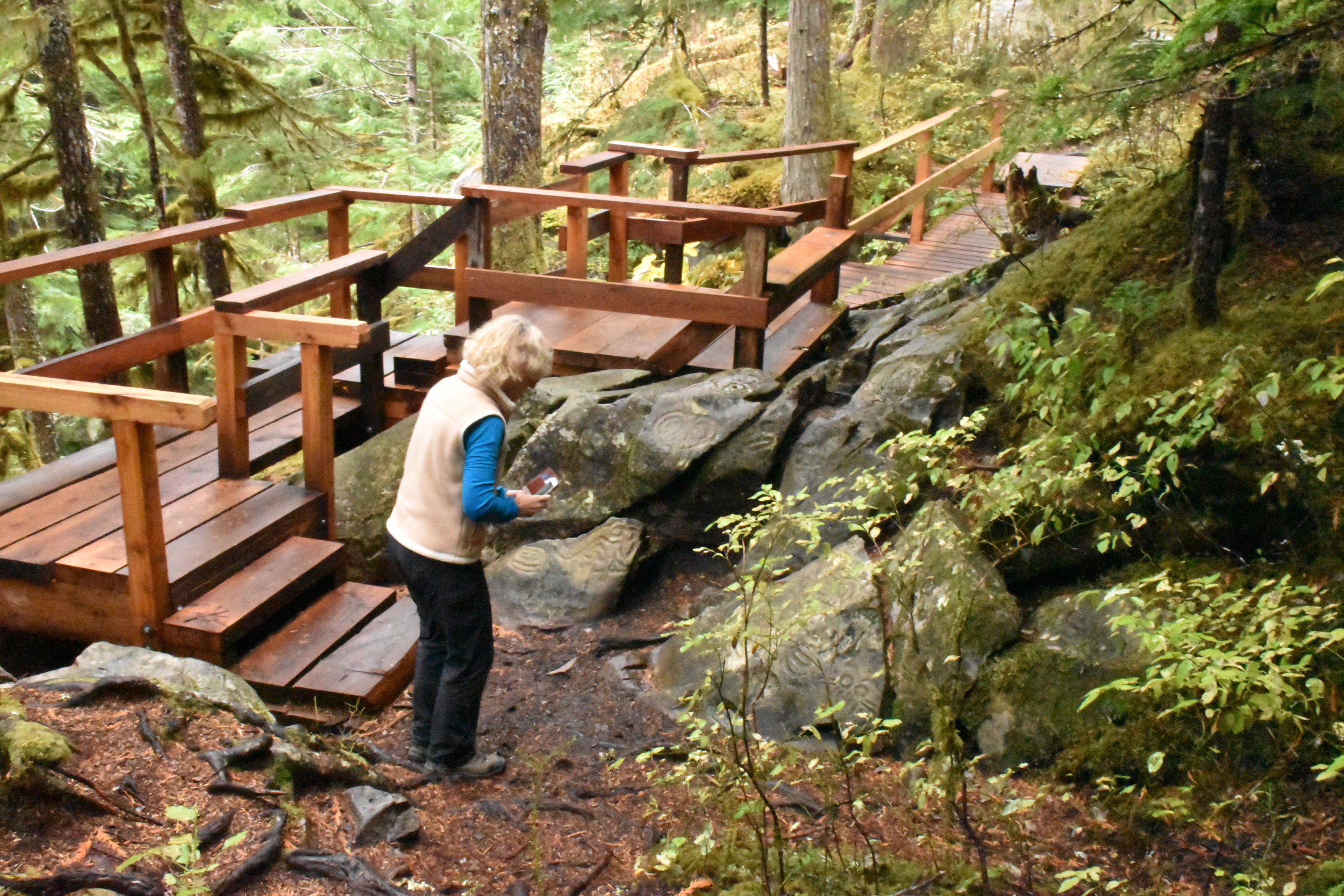
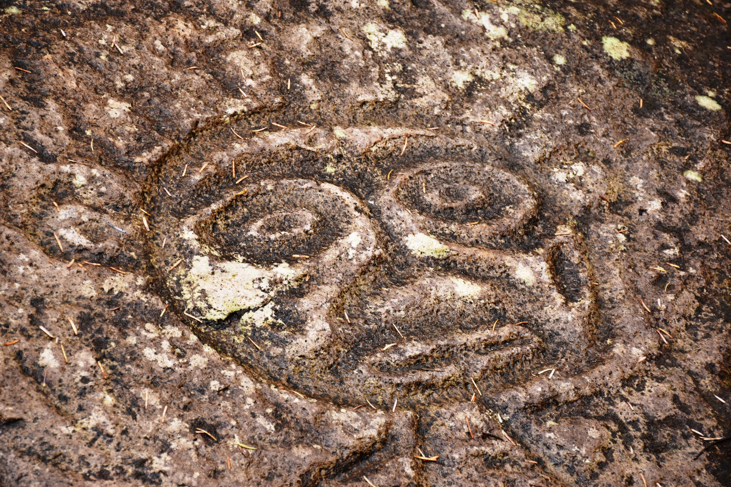
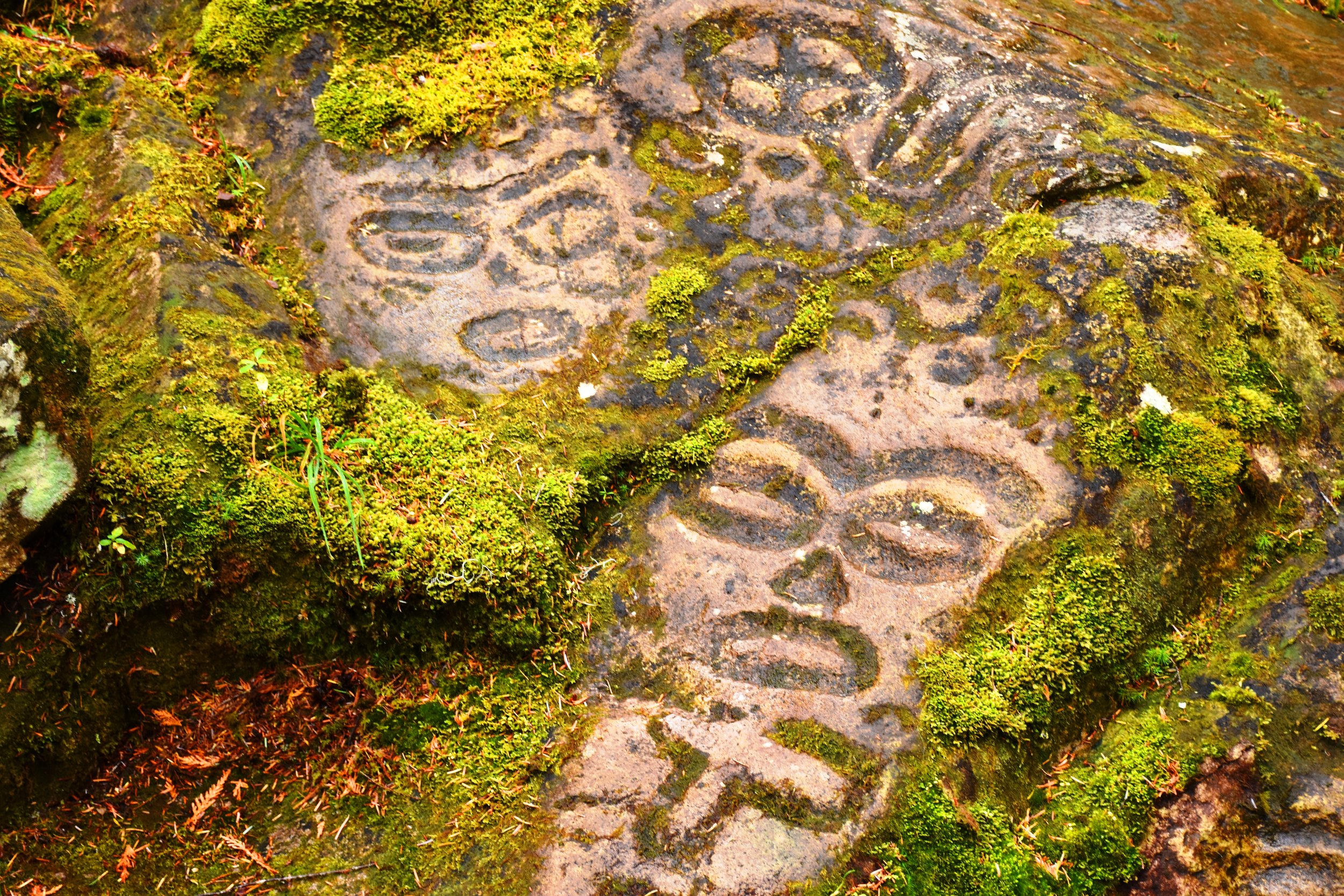
One of the most interesting places we visited in Bella Coola were the petroglyphs - a sacred area of the Nuxalkmc First Nations. We did not have one of their guides - we should have. We walked carefully, and touched nothing. It’s a magical place of 3500 year old rock carvings set in a beautiful cedar forest grotto. Later on, at their invitation, we attended a one of their potlach ceremonies in the town, which was very interesting! If you visit, you should take in some of their culture, because this is their land, and it is extraordinary.

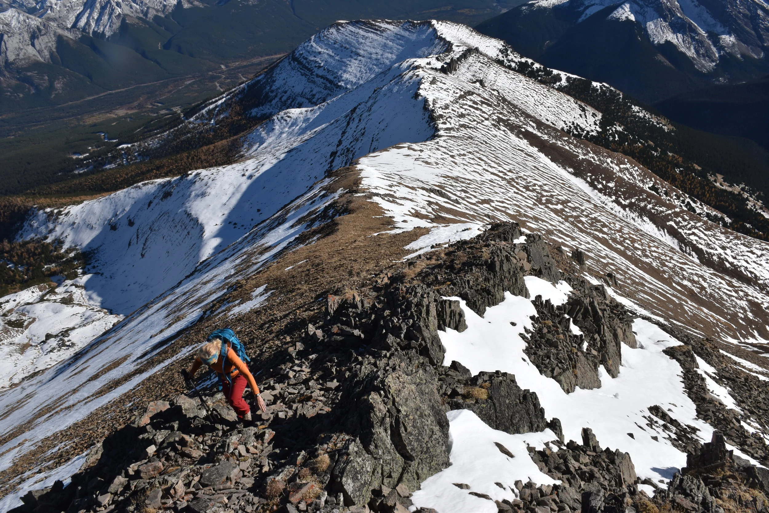
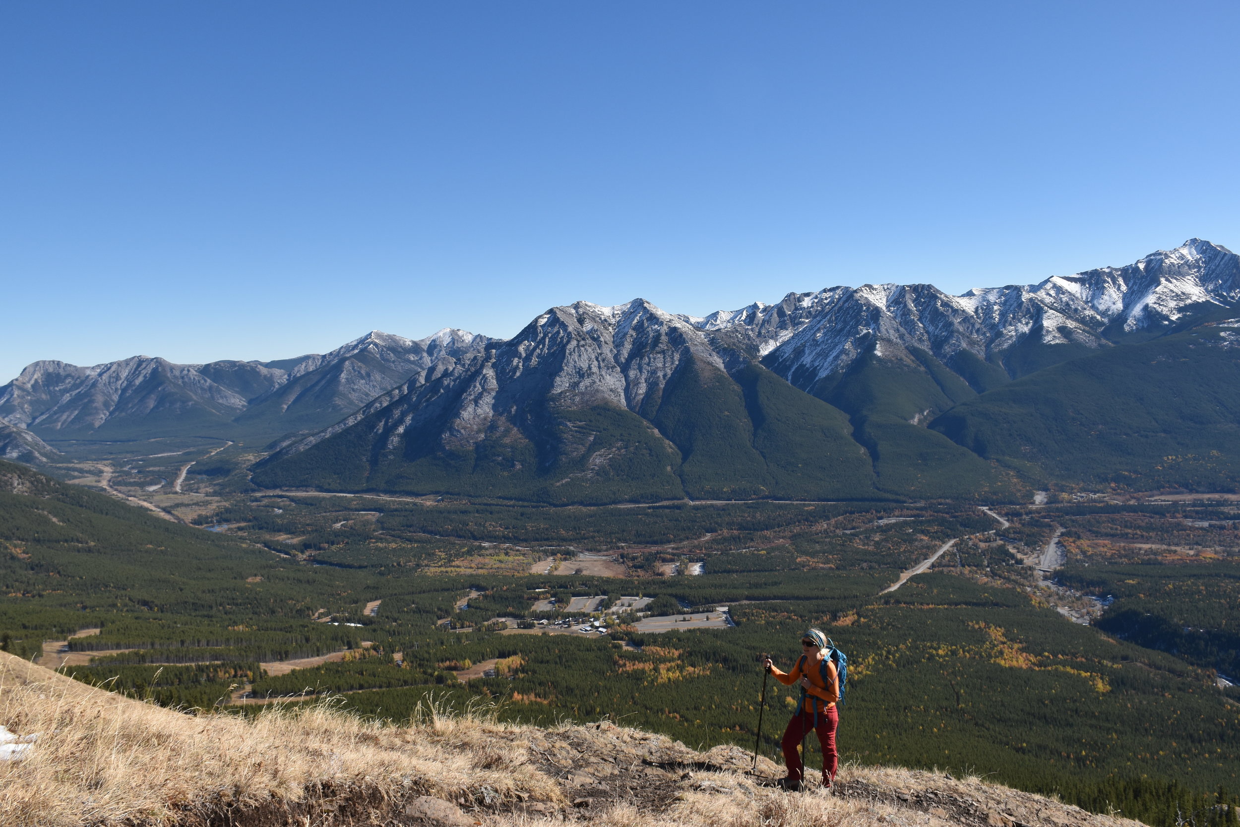
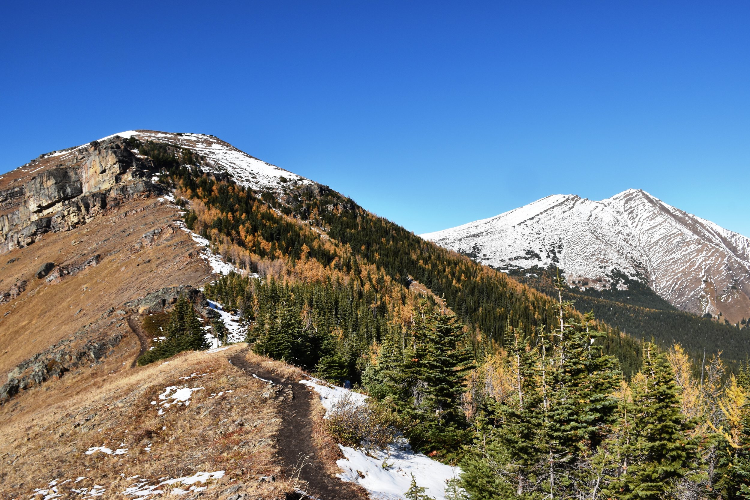
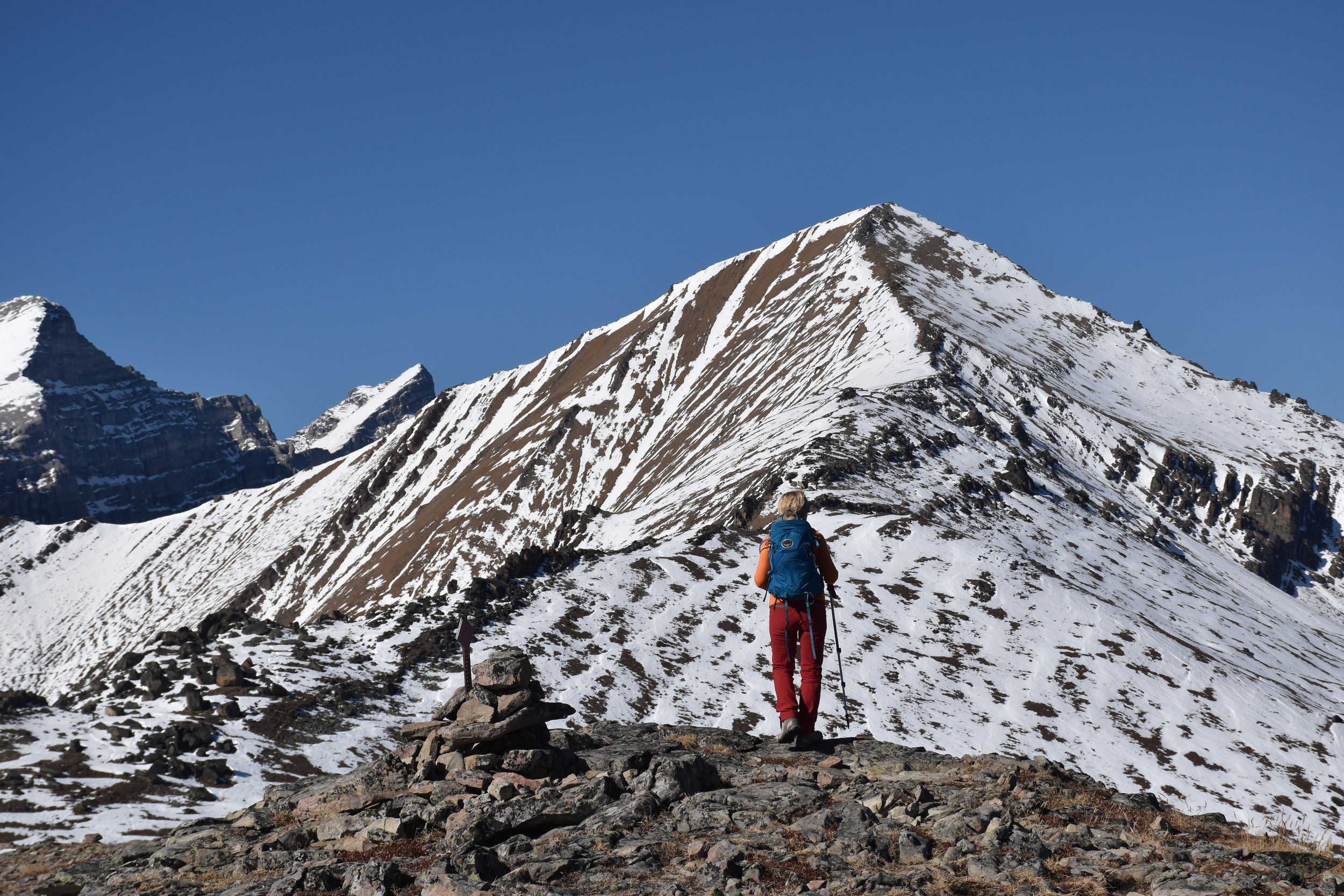
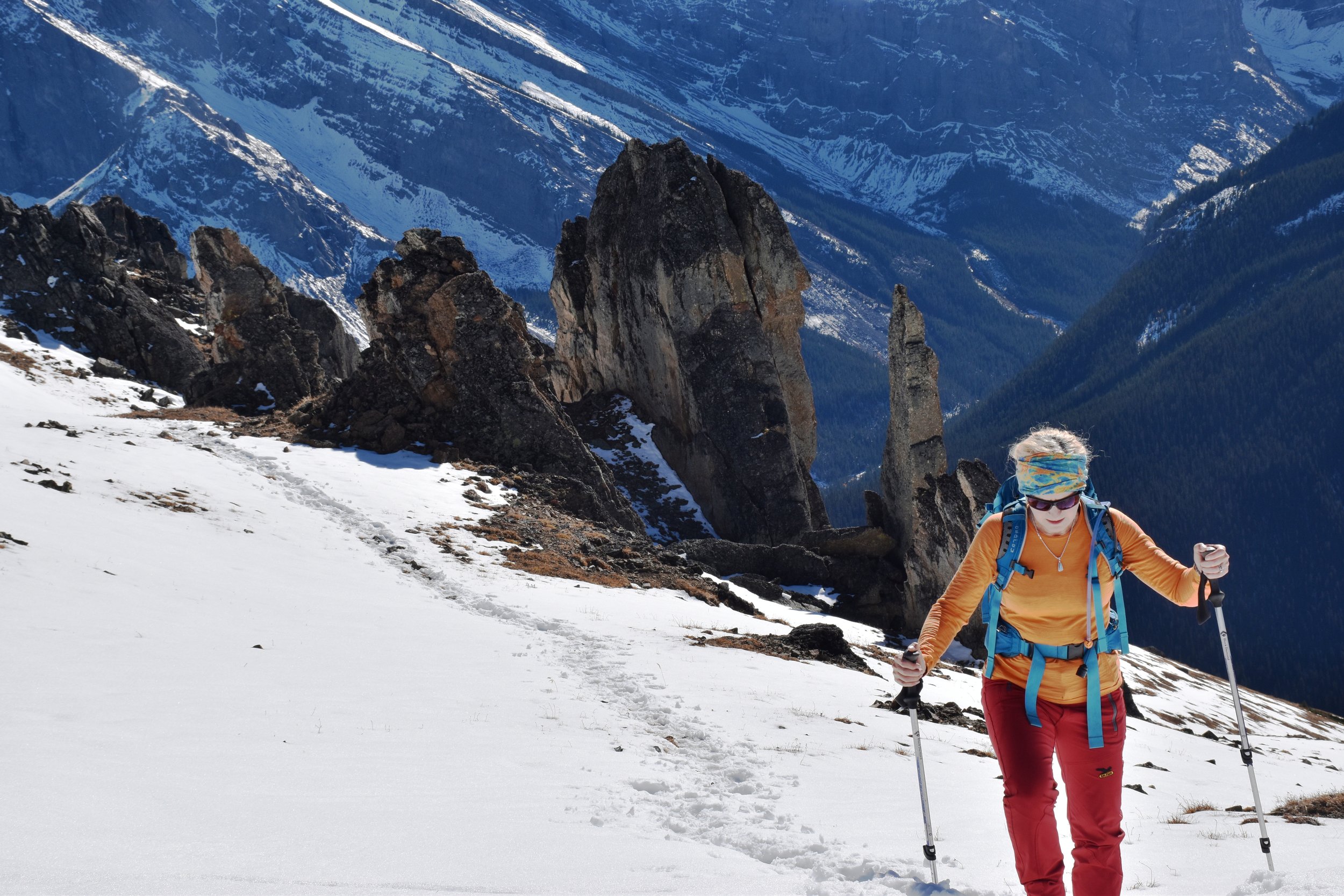
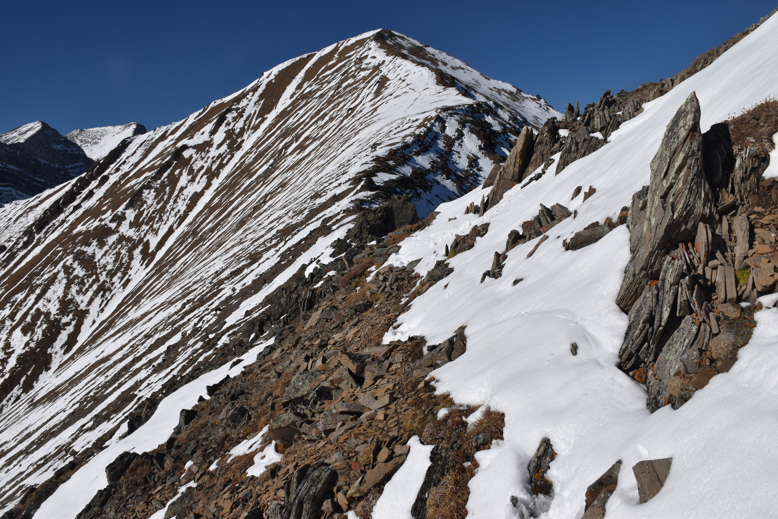
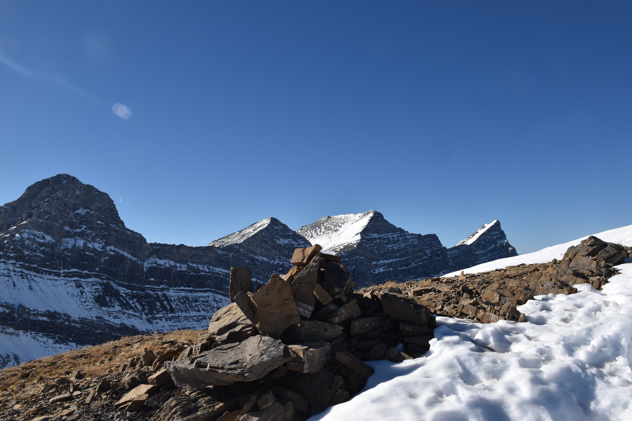
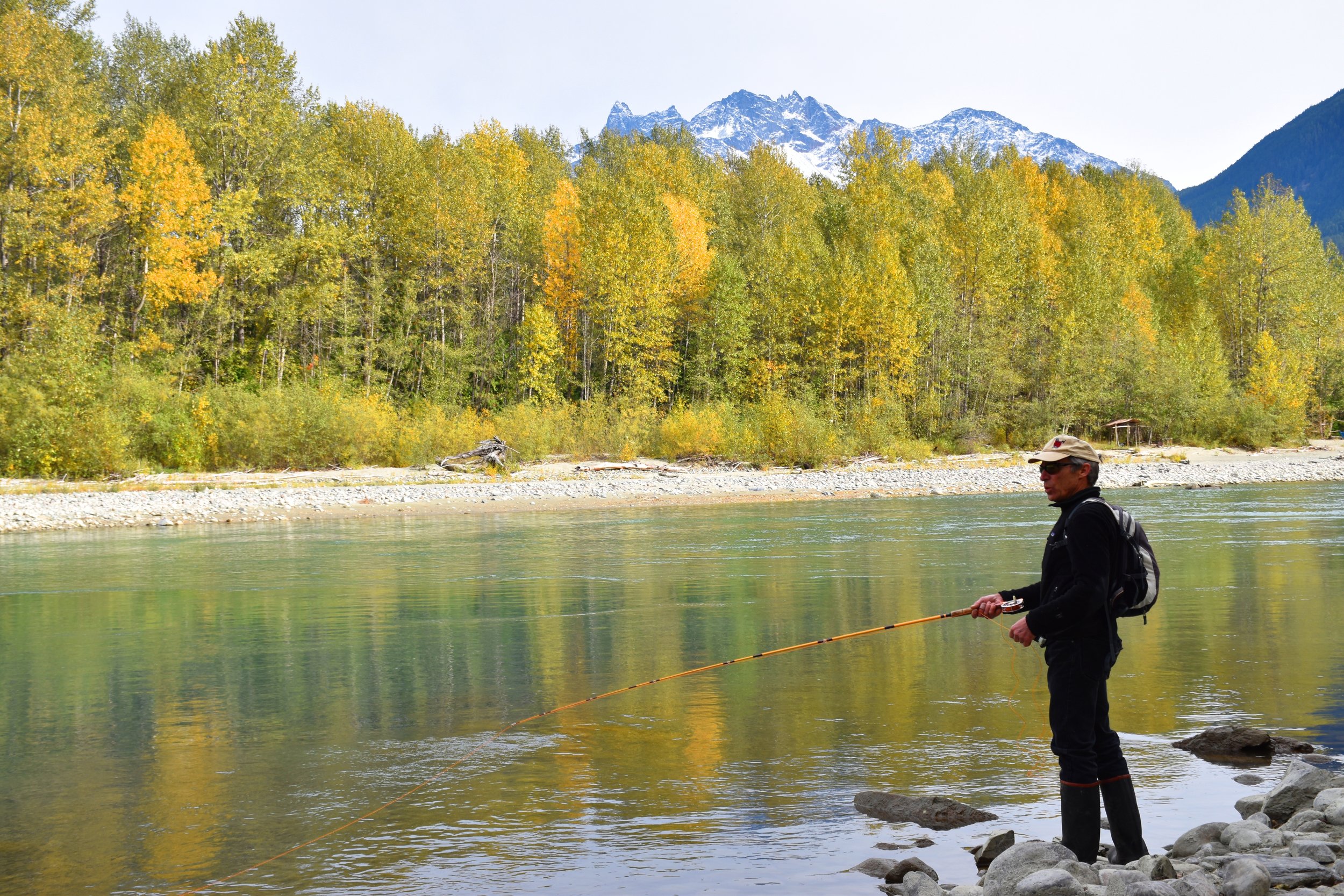
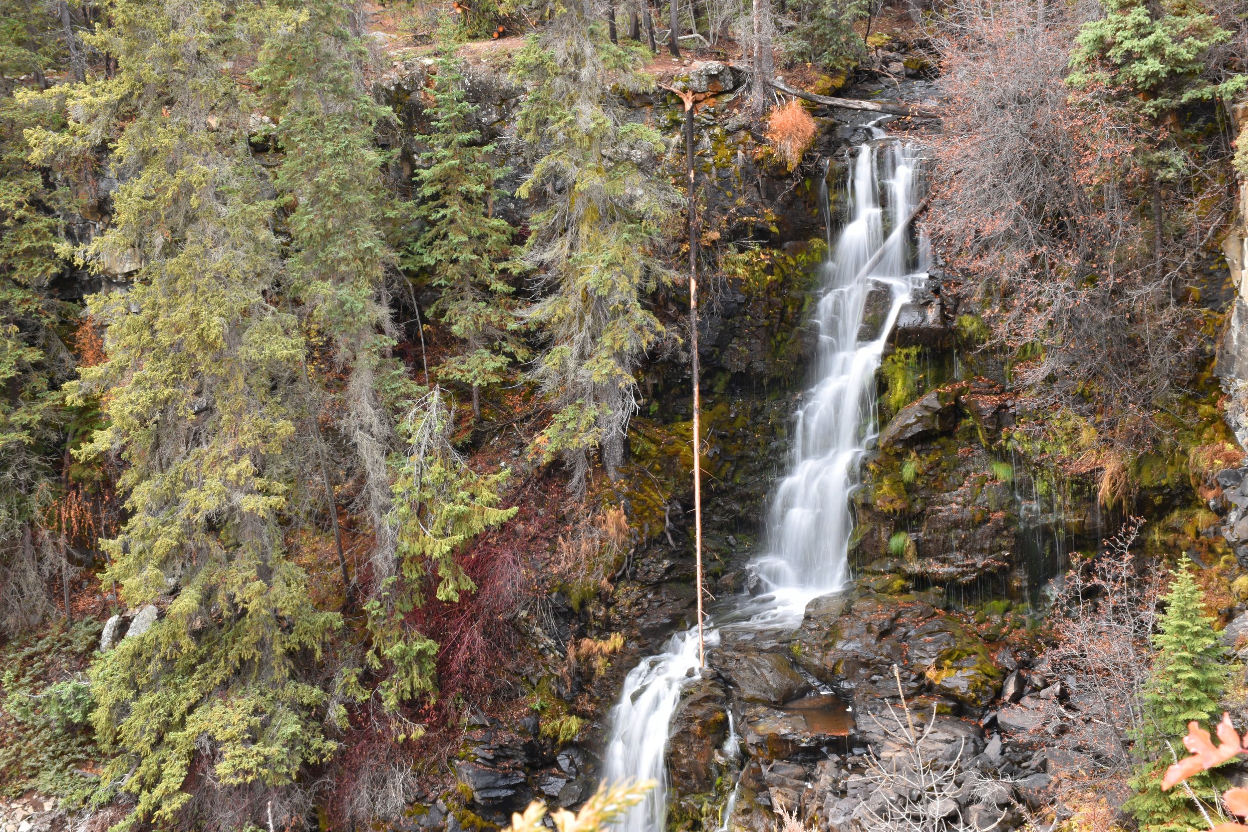
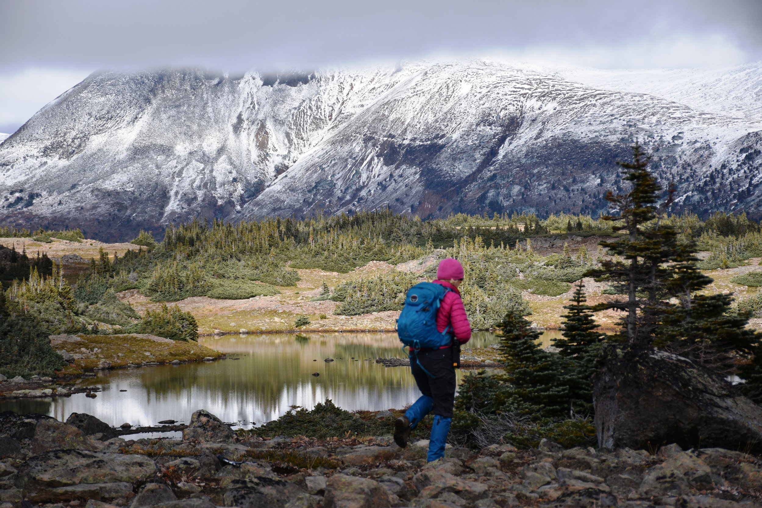
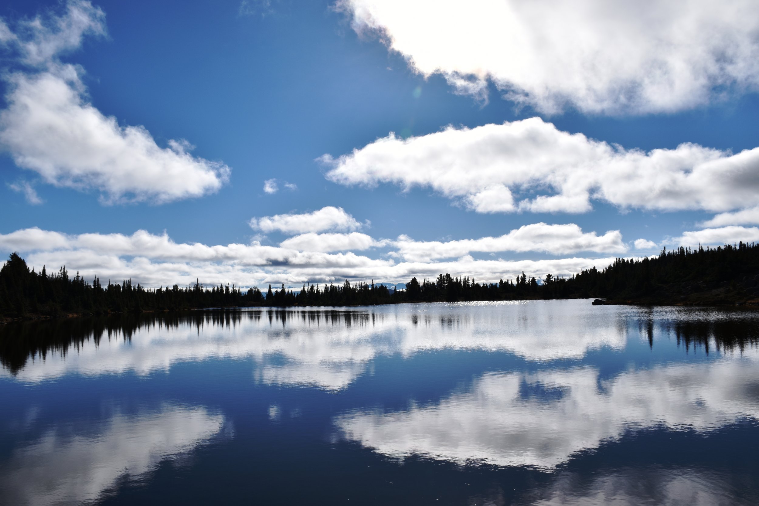
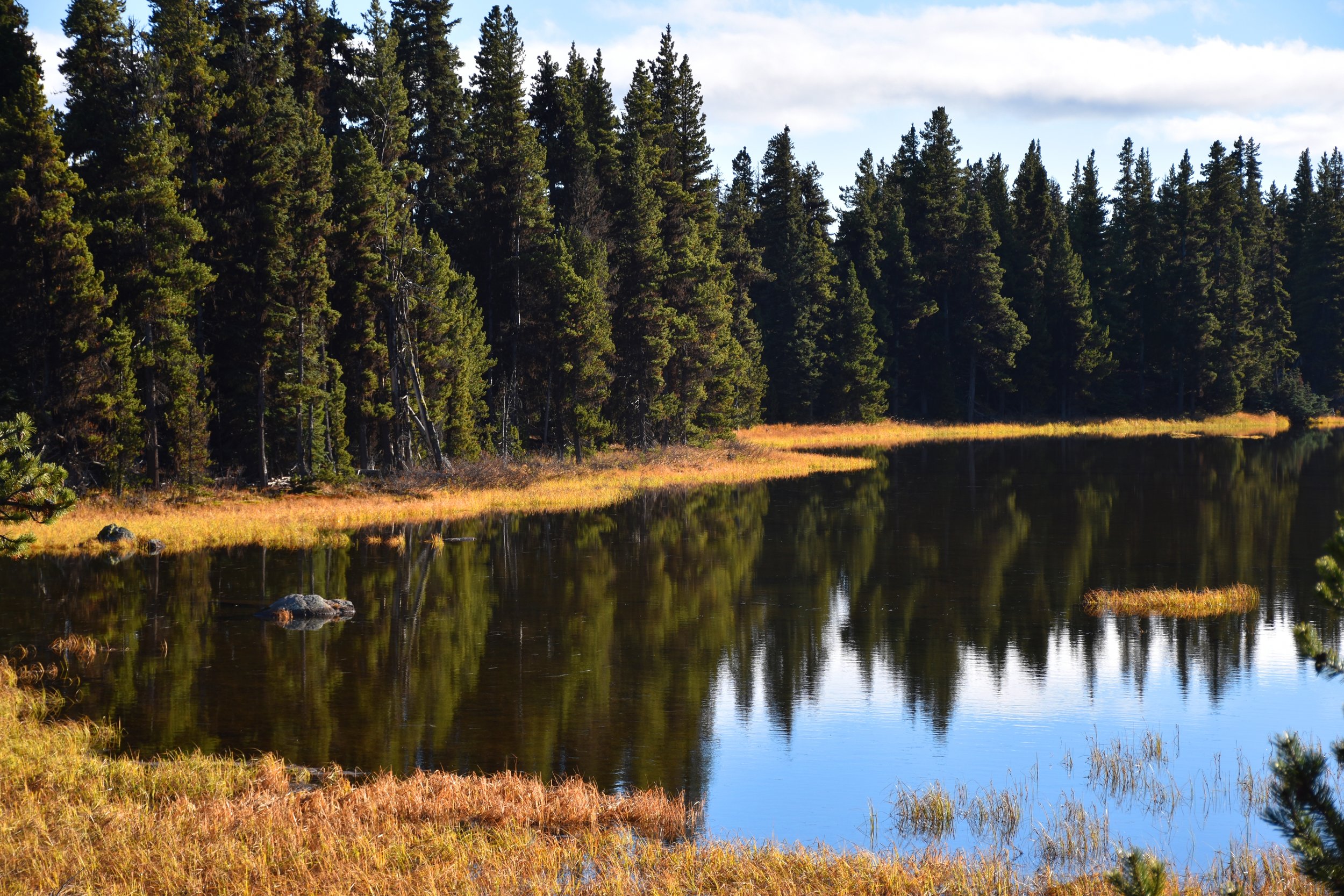
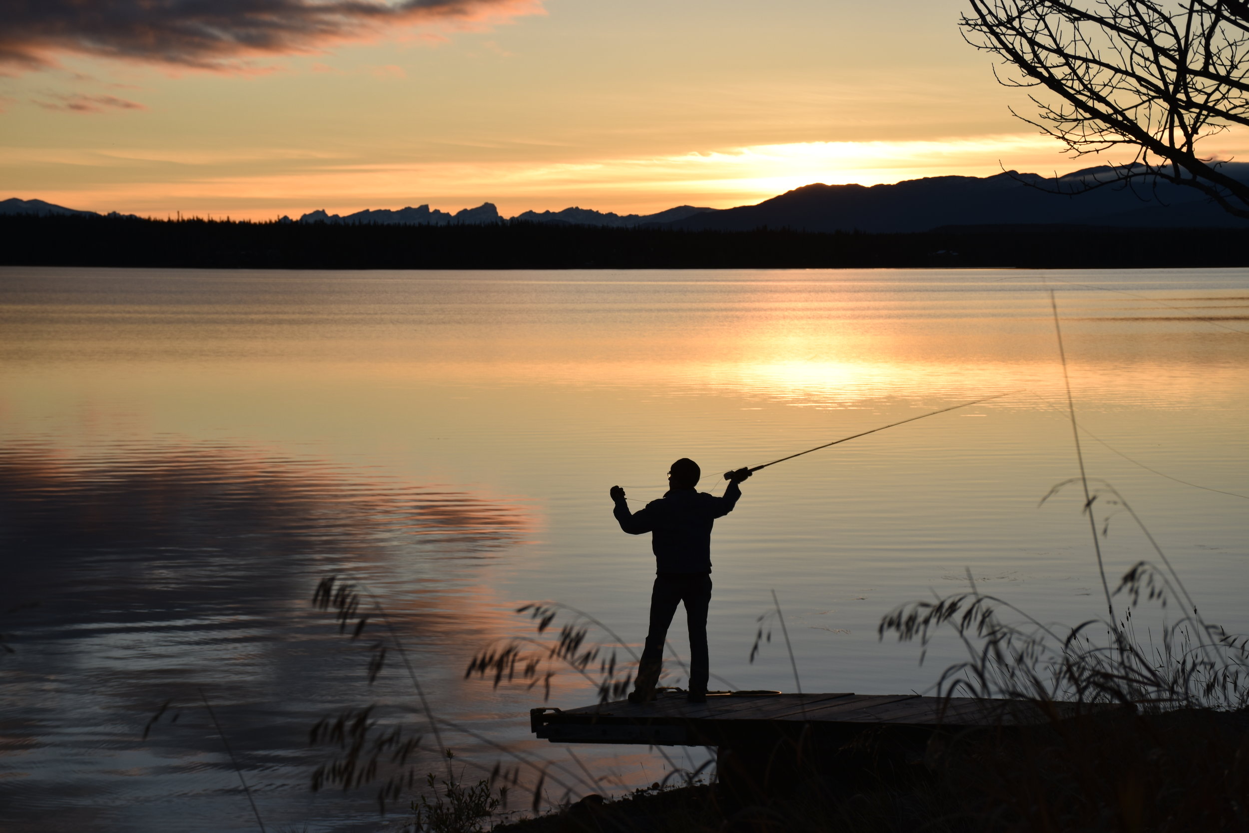
Finally, we had to leave Bella Coola, and head east on the road through Tweedsmuir Provincial Park, up “the hill”, and onto the plateau beyond the Coast Mountains. We hiked the Rainbow Ridge view trail through the cool burned forest (only saw one bear), onto a high that gave us views of the ridge, albeit covered in snow. We visited with a basalt canyon with a nice waterfall (Hotnarko Falls), and then onto Anahim Lake Resort. The lake is full of rainbow trout! And Anita, who runs the place, had also sorts of ideas on how to catch them. She rents out cottages, and RV sites - mostly to fishermen and hunters, but it’s a nice place to hang out.
Eventually, we made our way down the long and winding road to Williams Lake, and southeast to the Kamloops and Salmon Arm areas for some great mountain biking, and finally back to Canmore. Hell of an adventure! If you haven’t seen enough, here’s a link to a YouTube video: