South Centennial Trail to Mt Allan

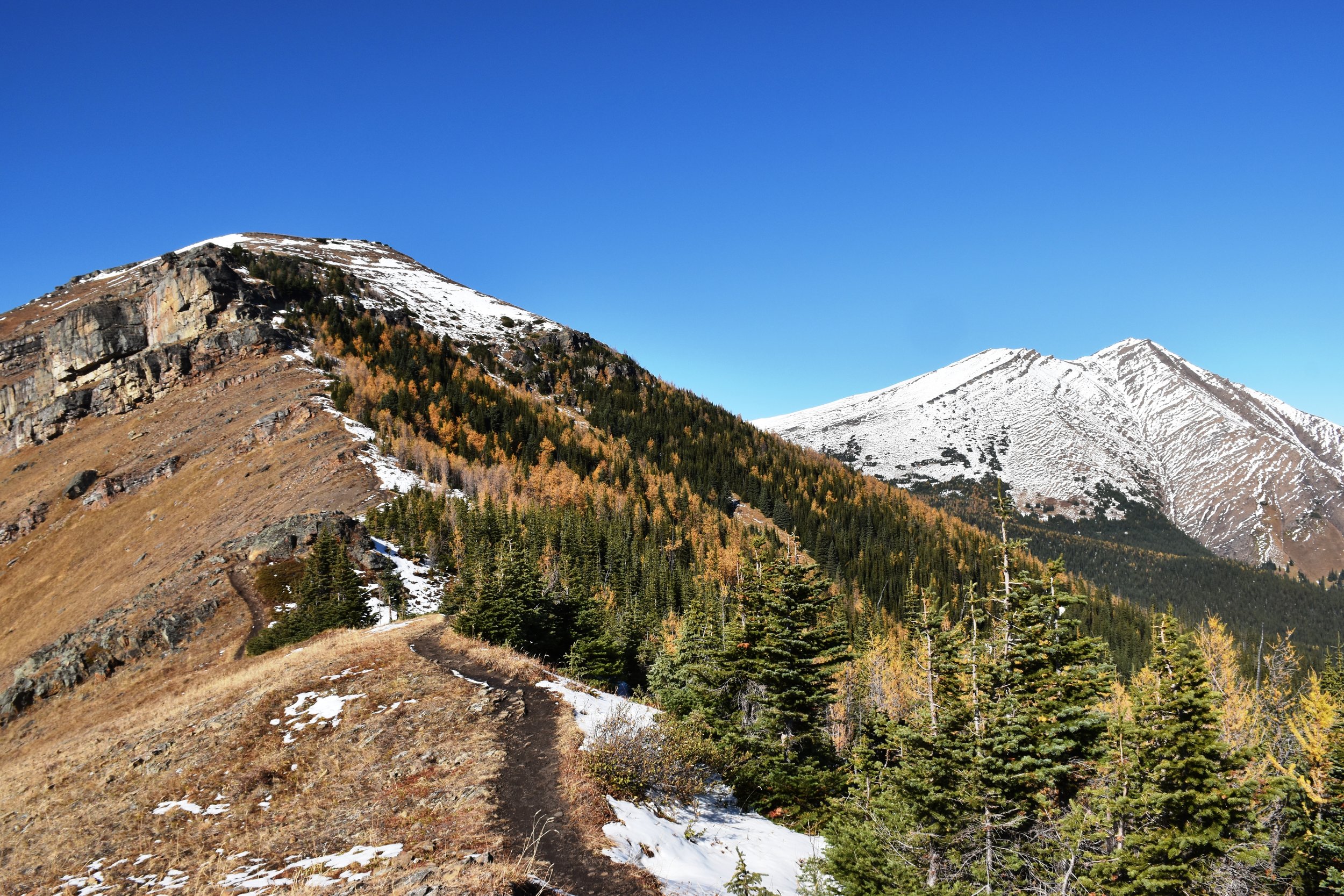
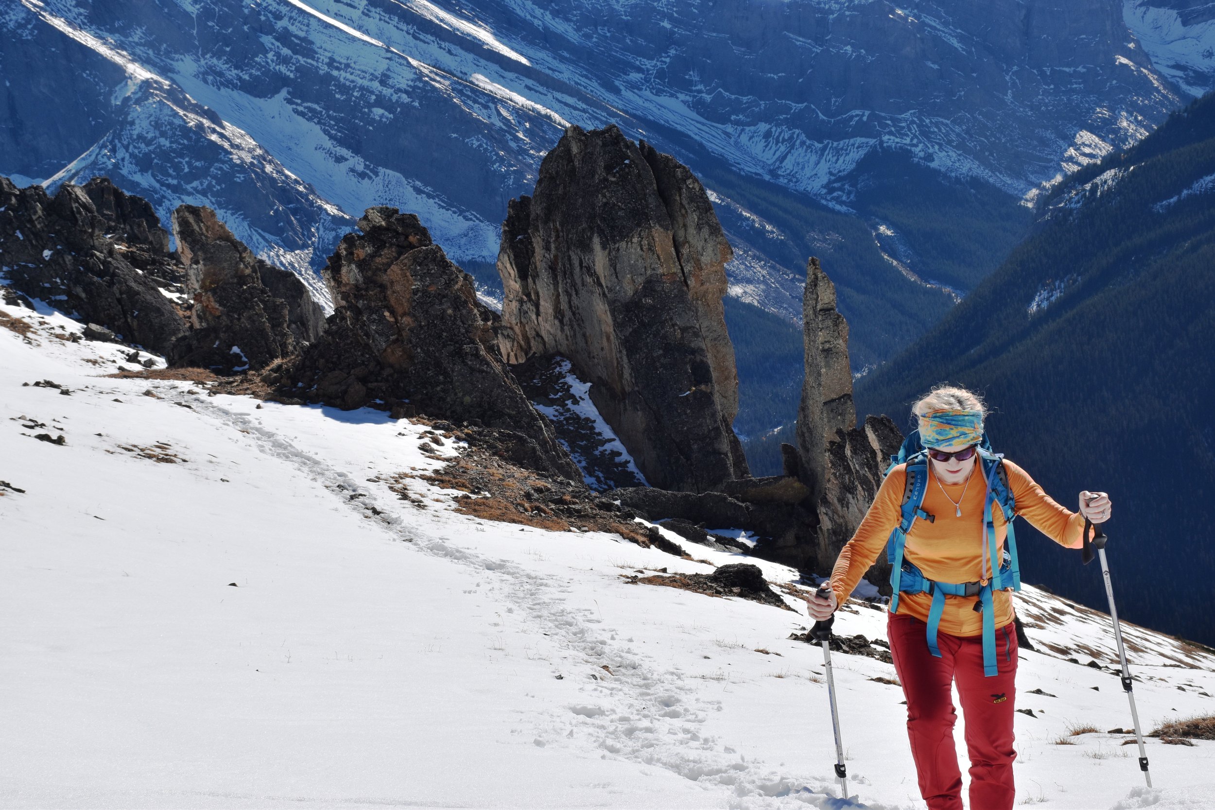
nearing the peak....

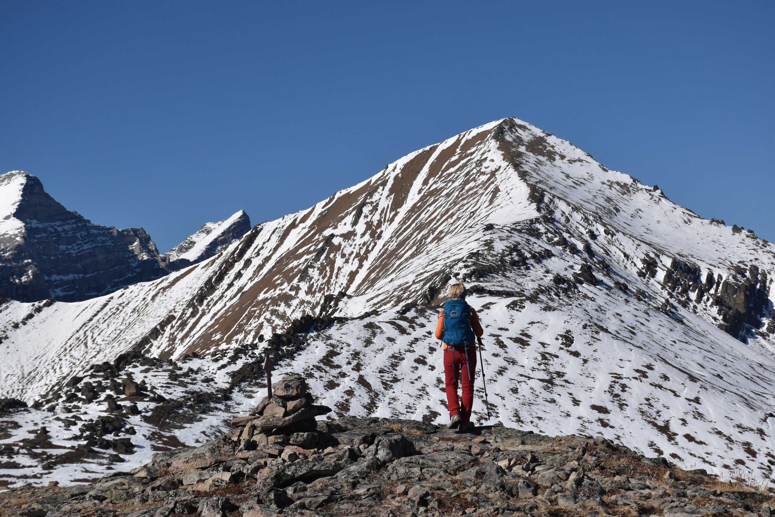
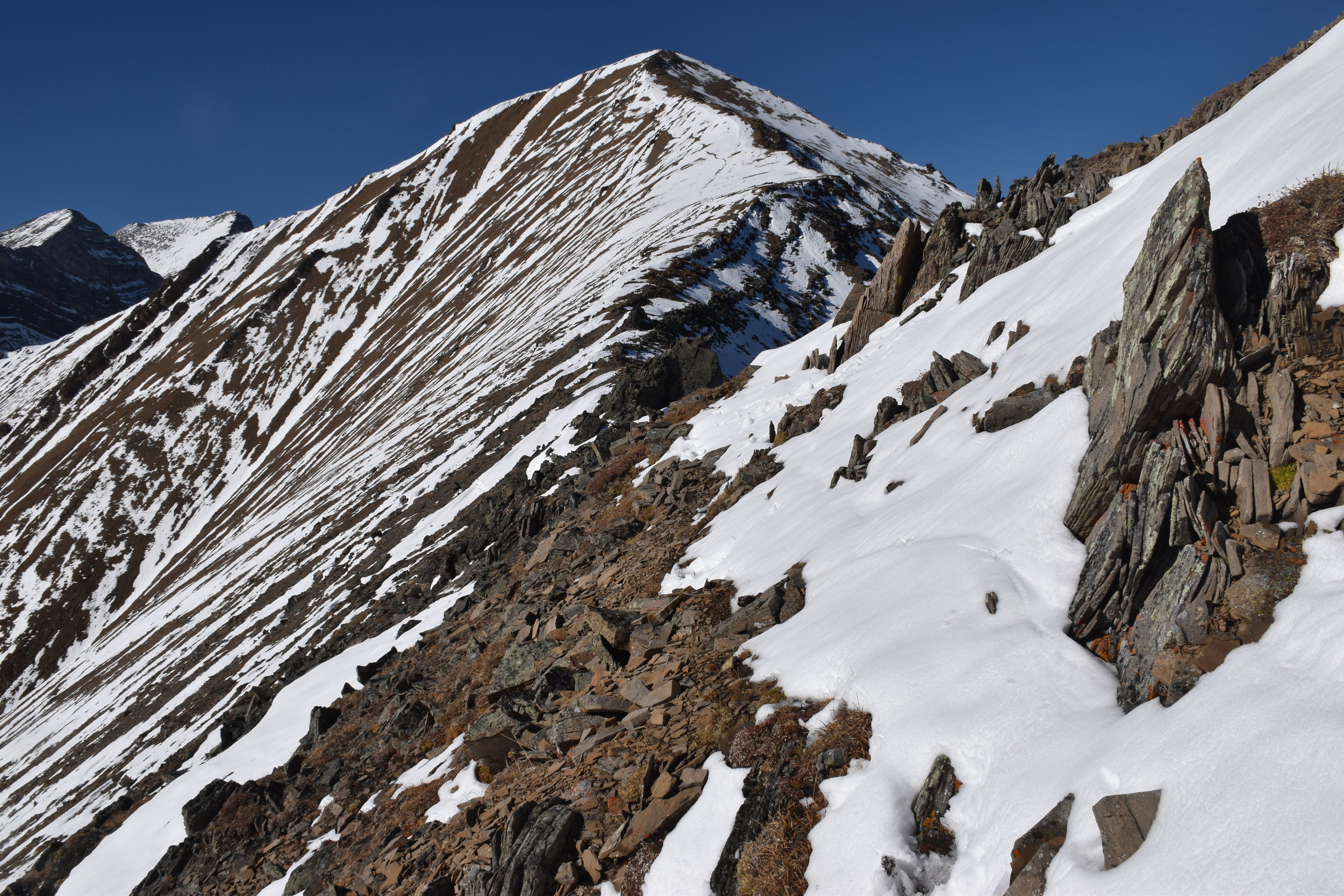
nearing the peak....

Oct 5, 2017

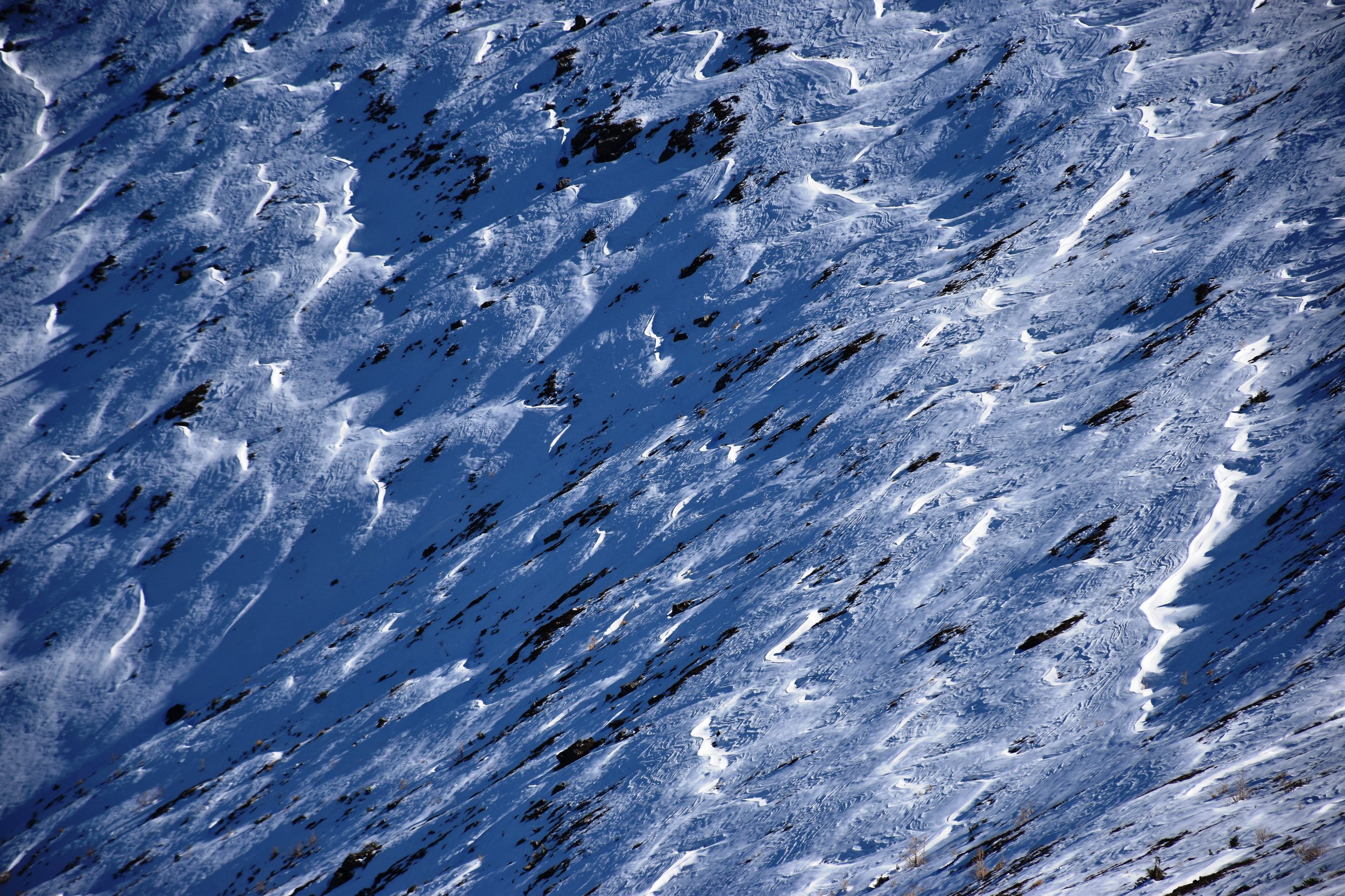
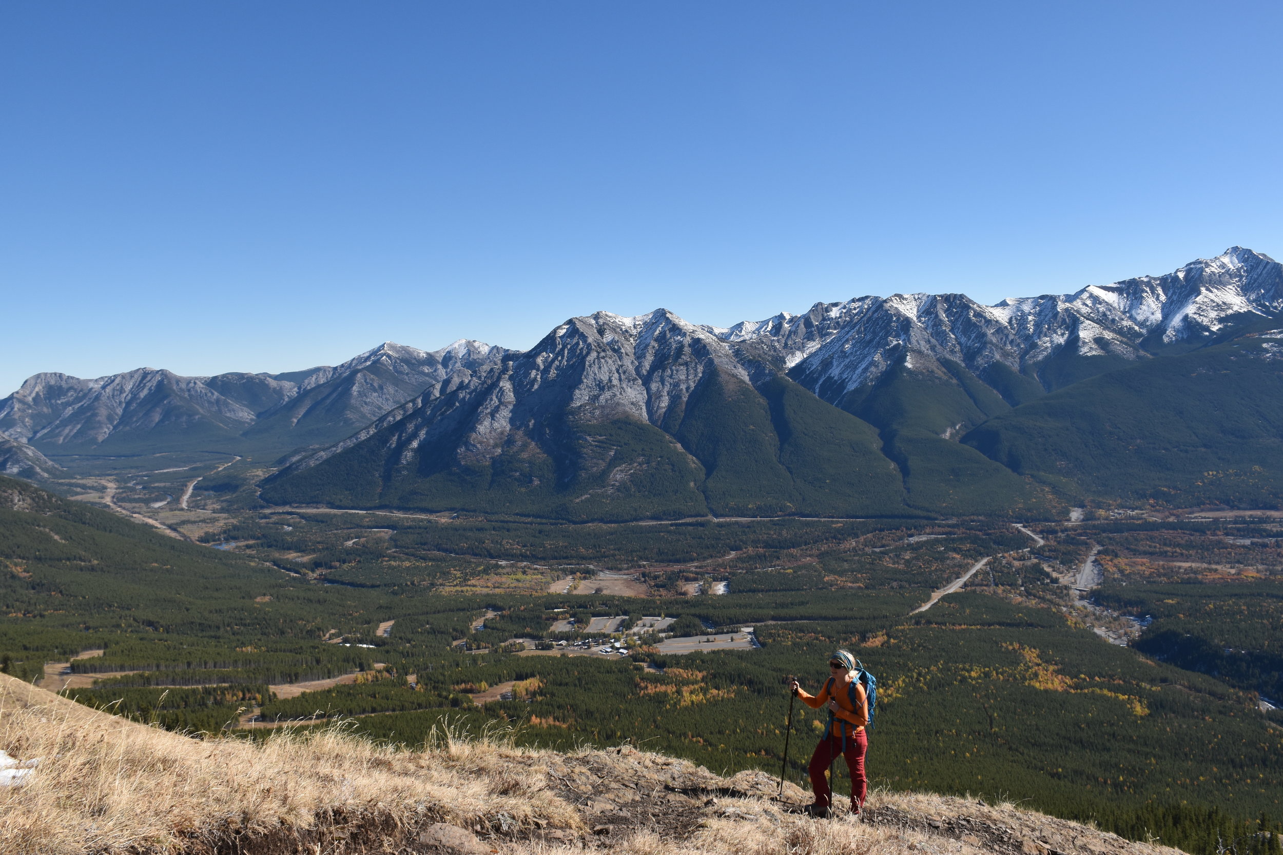
The Centennial Trail is a classic ridge walk, created by the Calgary Rocky Mountain Ramblers in 1966 for Canada's 100th birthday. It's easily accessed (35 minutes from Grandview Chalet B&B in Canmore, AB), and wastes little time before taking you to tremendous views. Within 20 minutes, you're out of the trees and into the blue (weather depending). On this early October day, there was almost no breeze (unusual!), but there was snow from a weather event days before.

To reach the peak of Mt Allan is 7.8 km and 4450 ft (1356m) up a mainly steep hike, with brief intervals of easy scrambling. The trailhead is at Ribbon Creek near Kananaskis Village. Poles are highly recommended when there is snow on the route! The total return trip length was 7.5 hours, including relaxing stops in the sun along the way, and a pleasant rest at the peak. This route is closed in the spring for big horn sheep lambing (until June 1), evidenced by the myriad of game paths over the grassy windward slopes.

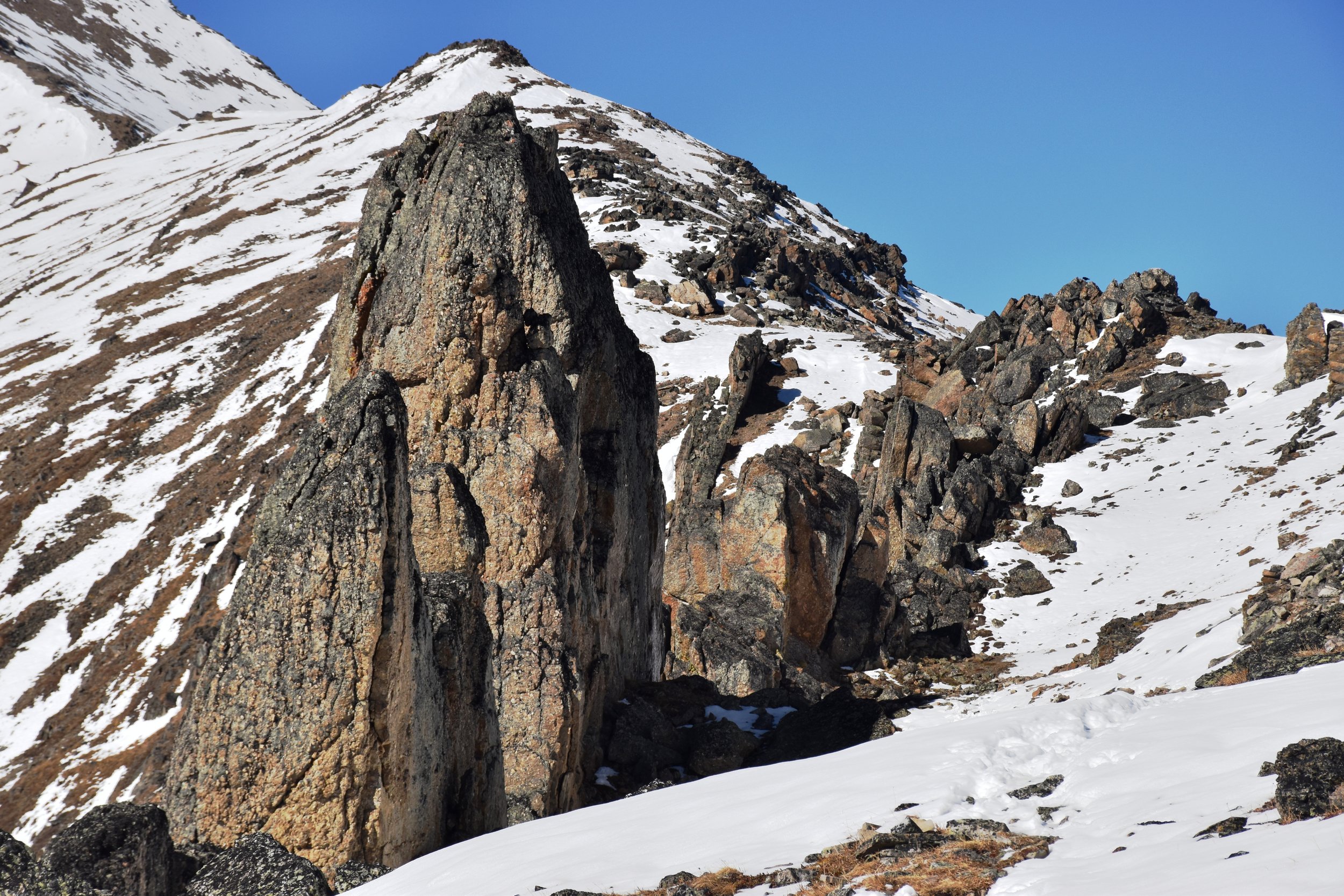
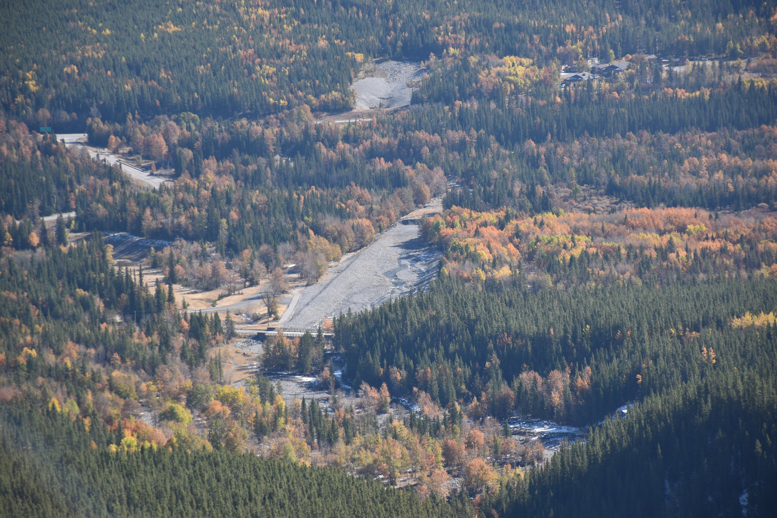
About 2 hours up, you pass by a few weather stations (Nakiska Ridgetop) overlooking the Nakiska ski area below. Shortly thereafter, you go over a false peak, and drop for a while before climbing into the "dragon's back" teeth, which is the coolest part of the hike. Here, Mesozoic chert conglomerate pinnacles up to 20m high line up along the ridge, being considerably more resistant to erosion than the surrounding shales. Chert cobbles are all over the place.

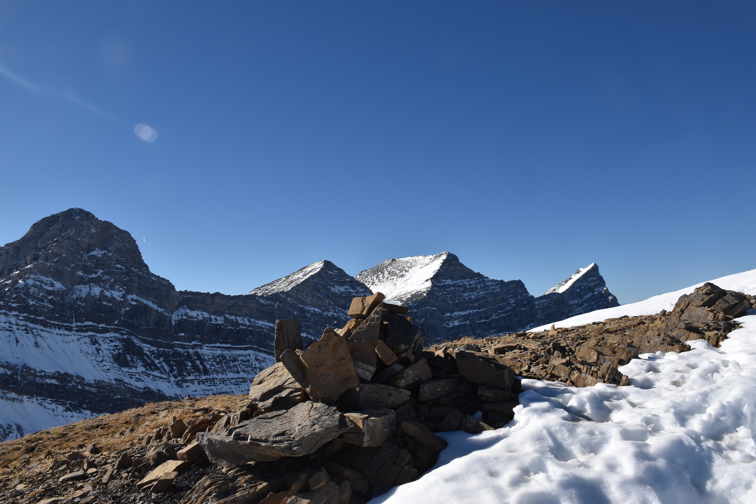
The view from the top is spectacular! Included in that are the four peaks of Lougheed, Mt Bogart, Mt Kidd, the Kananaskis valley, and the continuation of the Centennial Trail to Pigeon Mtn near the TransCanada Highway. For those wanting to do the entire Centennial Trail: I hope your boots feel good! We went back the same way...
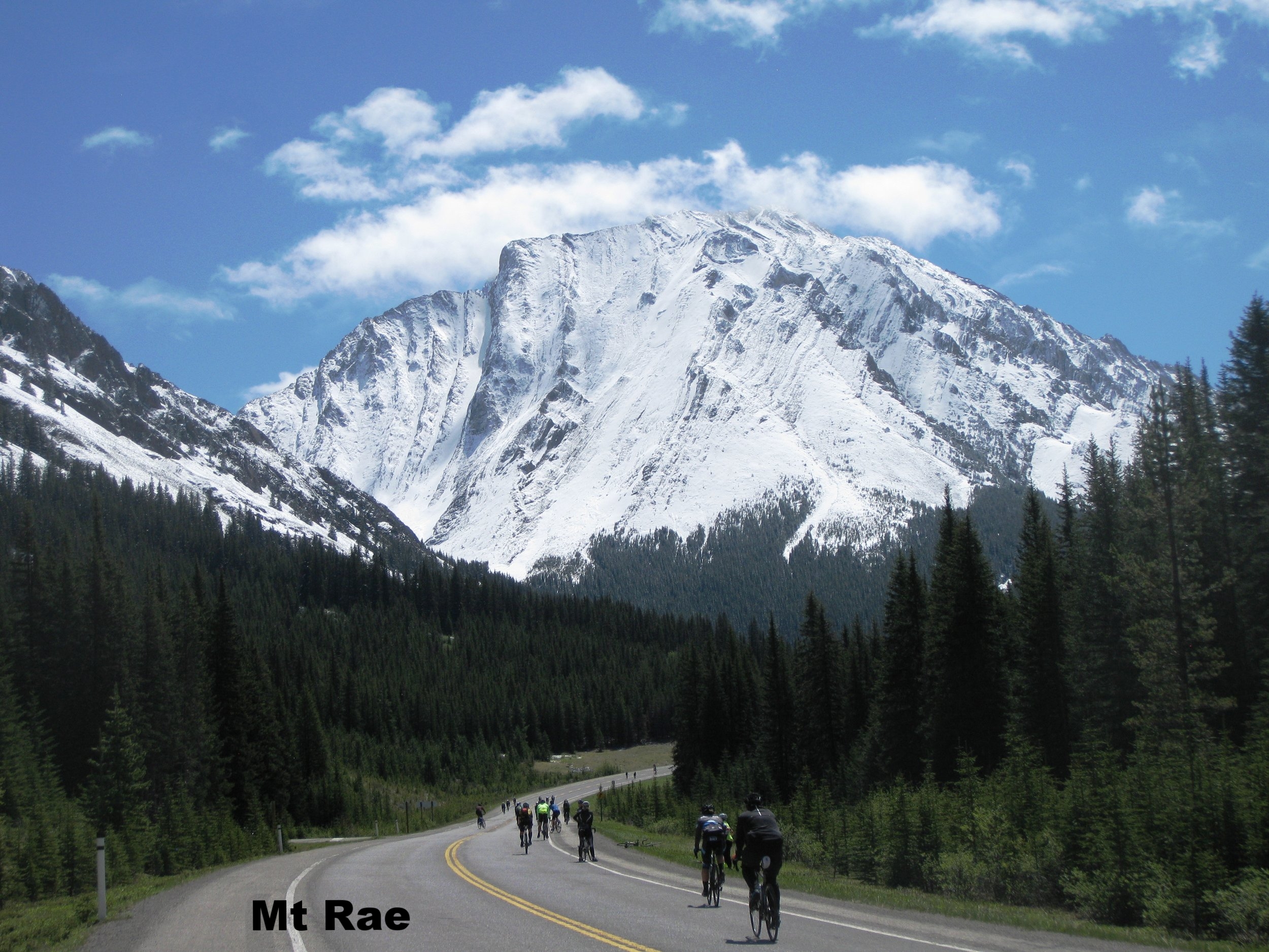
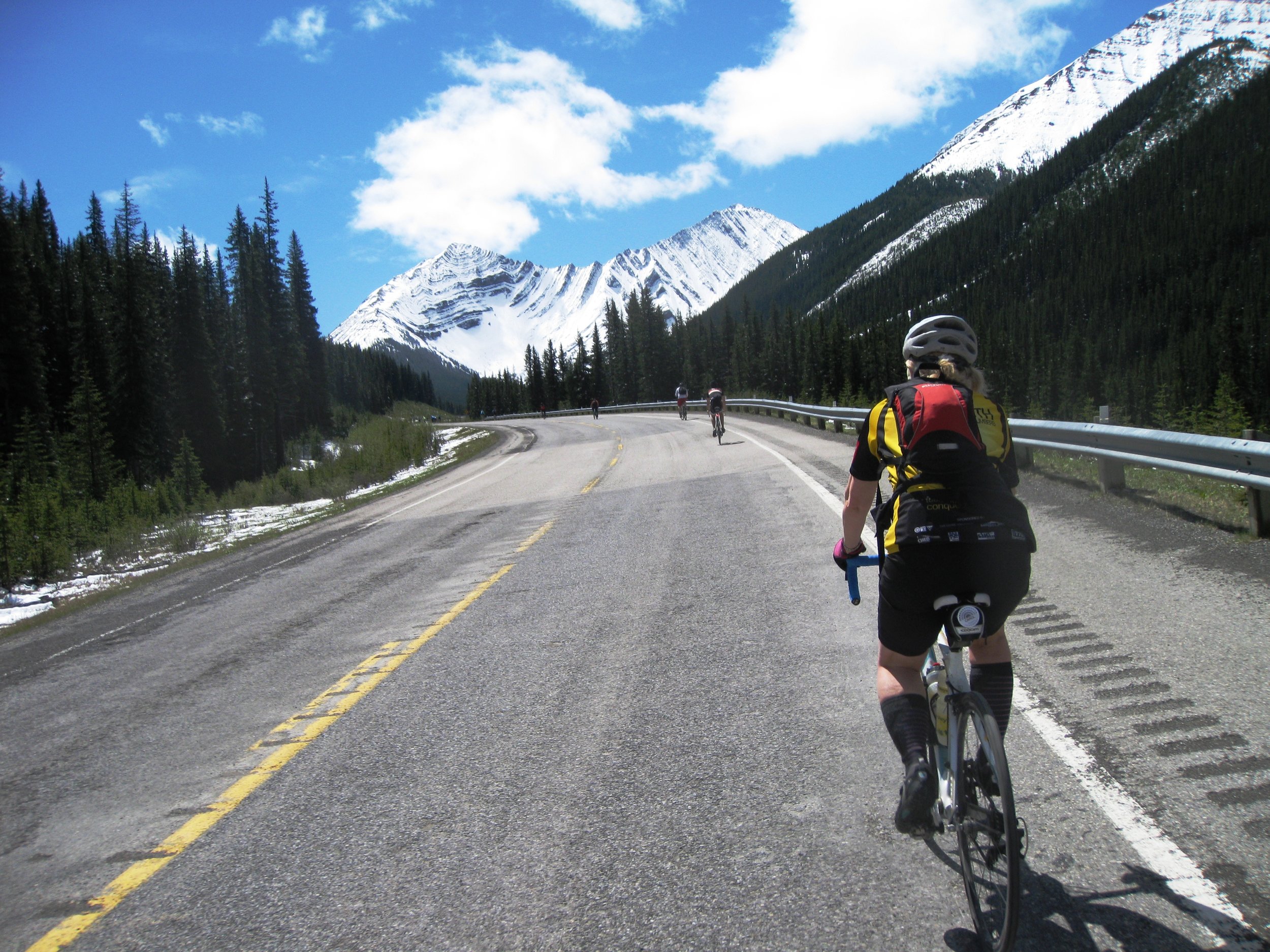
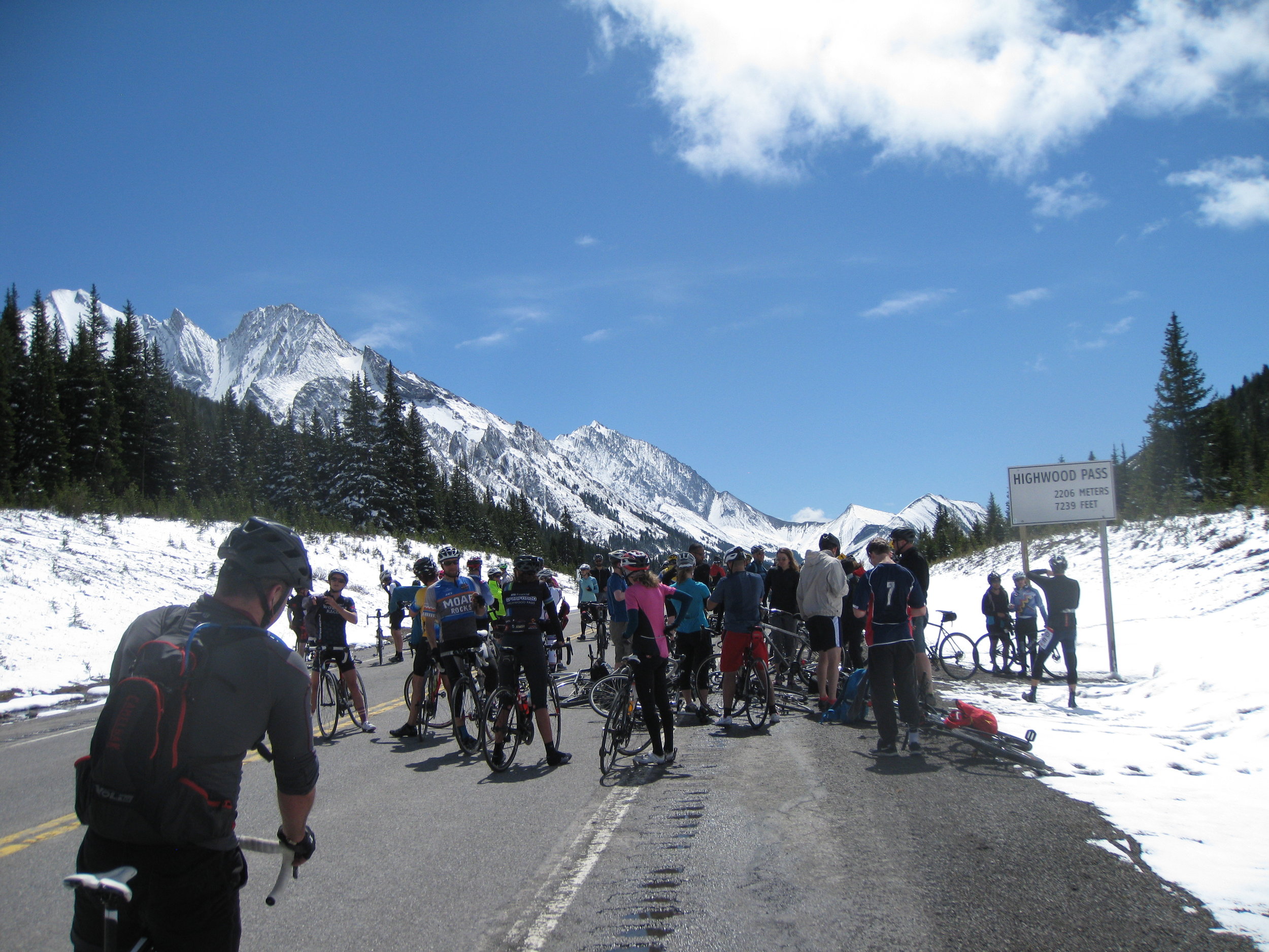
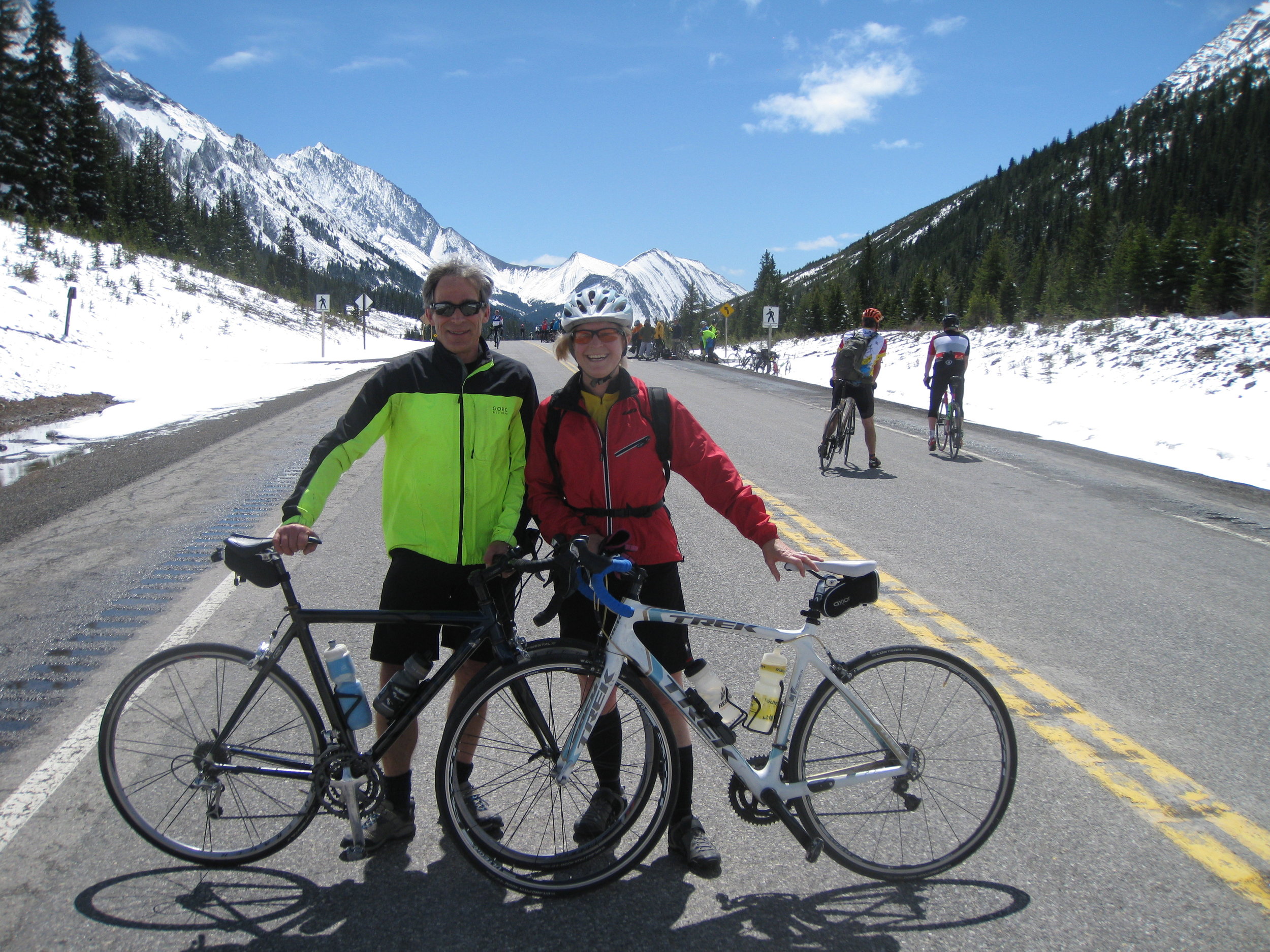
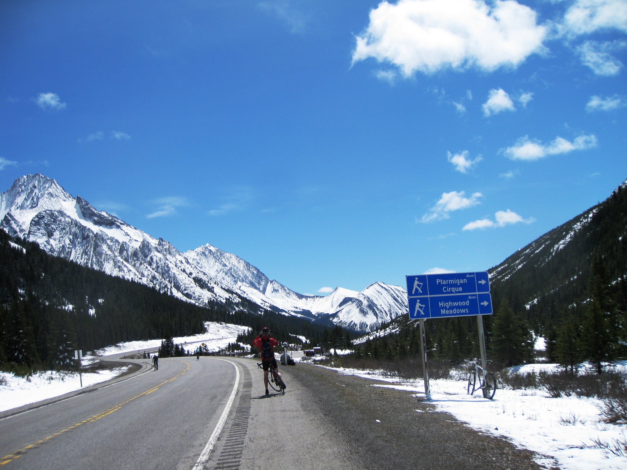
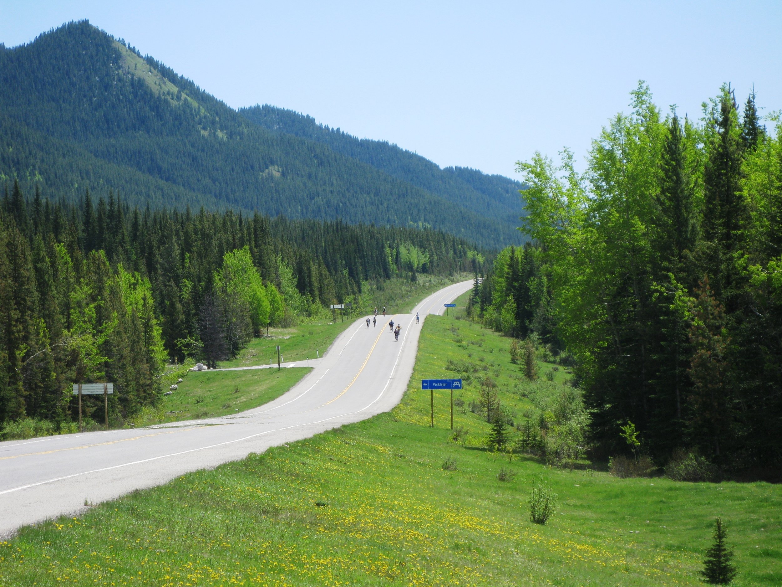
Cycling Highwood Pass - Canada's Highest Paved Highway

IMG_3570.JPG

Highwood Pass, on Alberta highway 40 is located deep in Kananaskis Country about 60 minutes south of the TransCanada Highway. It takes about an hour from Grandview Chalet's B&B in Canmore to the start.

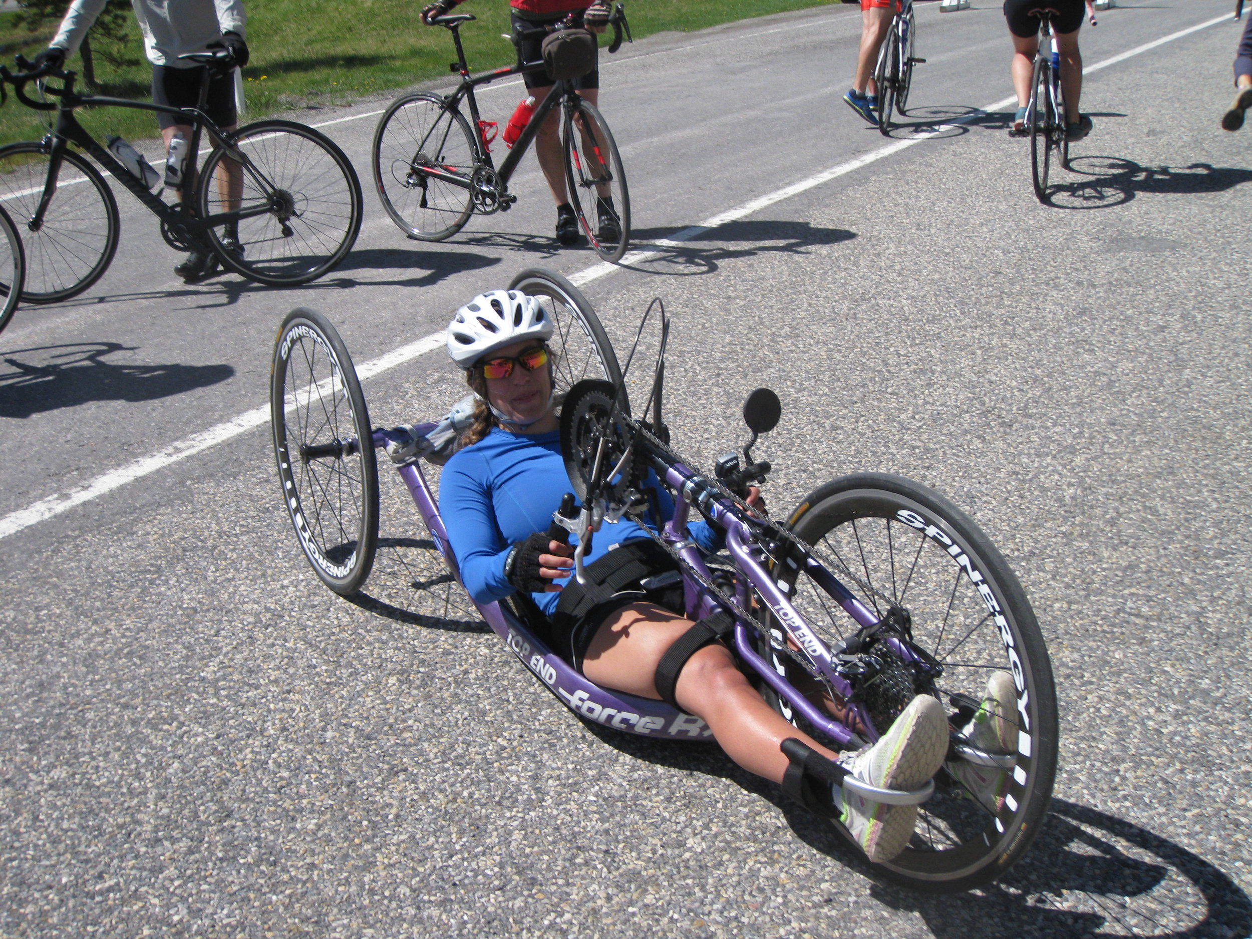
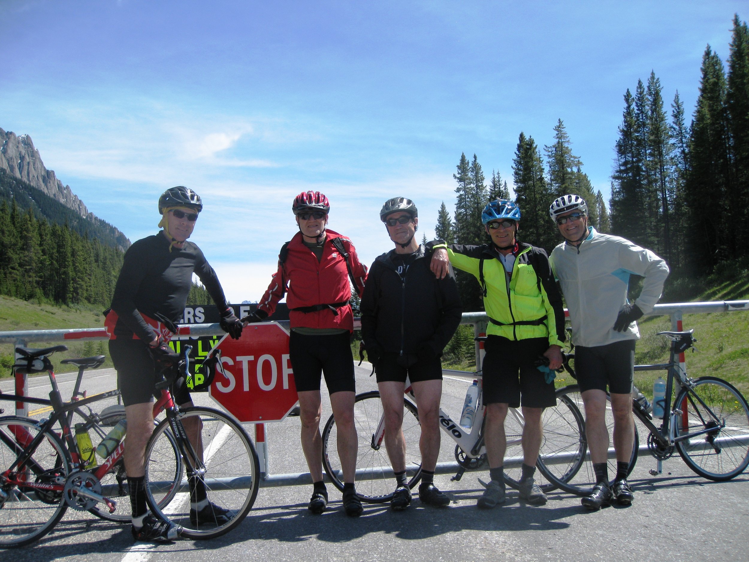
Since it is a sensitive wildlife area, it's closed to car traffic from mid December until June 15 each year. There is a short period of time when you can cycle within the closed portion without pesky cars after the snow melts away in the spring (about June). The length of the closed area is some 54 km, with the big pass closer to the north end. There are many commercial tour groups cycling over the pass through the summer, but in this case, it's mostly locals with several cycling clubs and race clubs mixed in with recreational riders on whatever bikes (one on a big tricycle!). Some ride from gate to gate and back for maximum length (108 km). Today we parked on the north end of the closure, road up to the pass (500m), over the top, and did a speed descent to Mist Creek picnic area, and then climbed back up and over for a total of 70km (43 miles), and some 1200m of vertical (3937 ft).

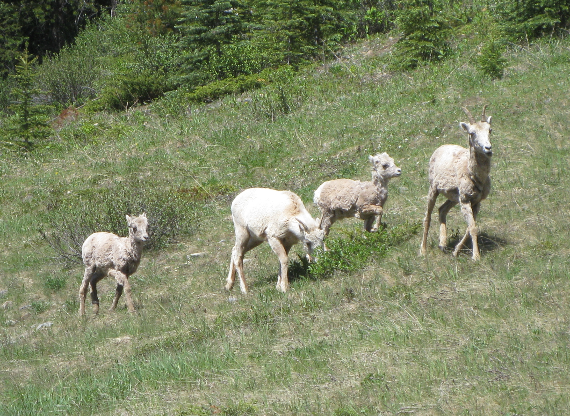
The previous day, it had poured rain in Canmore (overdue), leaving snow in the higher elevations. By the time we got to the start, it was getting very pleasant, and the snows had retreated to leave absolutely beautiful scenery. There were hundreds of riders on this Sunday, but all spread out on a smooth swept highway in a happy mood. The grizzly's must have known this was going to be a bit crazy, so they were discretely somewhere else. But we did see some nice young big horn sheep lambs with their respective moms. The weather threw some winds at us, but they seemed to be swirling through the valley, and not too bothersome. People milled about at the top, getting trophy pictures of the sign highlighting the achievement, and then descending in either direction at various speeds depending on the necessary amount required to give you a big rush! Not too hard to hit 80+kph if you're in the mood. And not worried about cars.

Here's a Stava link for an overview: https://www.relive.cc/view/1032463448


2016-17 Winter finally settling in.

Having taken a rather extensive holiday into some warmer climates, it was a bit tough to come back into short days and quickly afterwards, very cold weather. As usual, there is no sign of climate change where we live. Early December brought lows into the -30C's, and highs of -20C's. Surely the pine beetle is in demise! Snows have been reasonable for December at altitude, but somewhat less in the Bow Valley where Canmore resides. That said, it has certainly been cold enough to make snow at the Nordic Centre, and surrounding ski resorts.

The cold weather sent us into Elevation Place (in Canmore) to make use of their world class climbing wall facility. It's been busy there! Since it has auto-belay routes, you don't even need a partner. If you have a partner, the routes range up to well beyond my capability. But, it's actually quite a social place to hang out!

Sunday, Dec 11, we ventured out to Peter Lougheed Provincial Park to check out the coss-coutry ski conditions there. Much to our surprise, the tracksetting was excellent from the Elk Pass parking lot to Elk Pass, and the Blueberry Hill lookout. Nice soft snow, albeit somewhat slow due to the cold temperature. The daytime high, though, did hit -15C, which is quite tolerable when there is no wind, and you're working on your stride and gliding. It won't be long before all the trails there are in great shape.

We've been out back country skiing (alpine touring) where you can start out at 1900m+ from the road. That has included Bow Summit on the Ice Fields Parkway in Banff, and Robertson Glacier in Kananaskis Country. Powder skiing in those places was very good for December! We'll continue to investigate....


Video Block
Double-click here to add a video by URL or embed code. Learn more

Hoping Santa brings more snow!!