Mt Kilimanjaro and Safari, Tanzania

DSC_8512.JPG

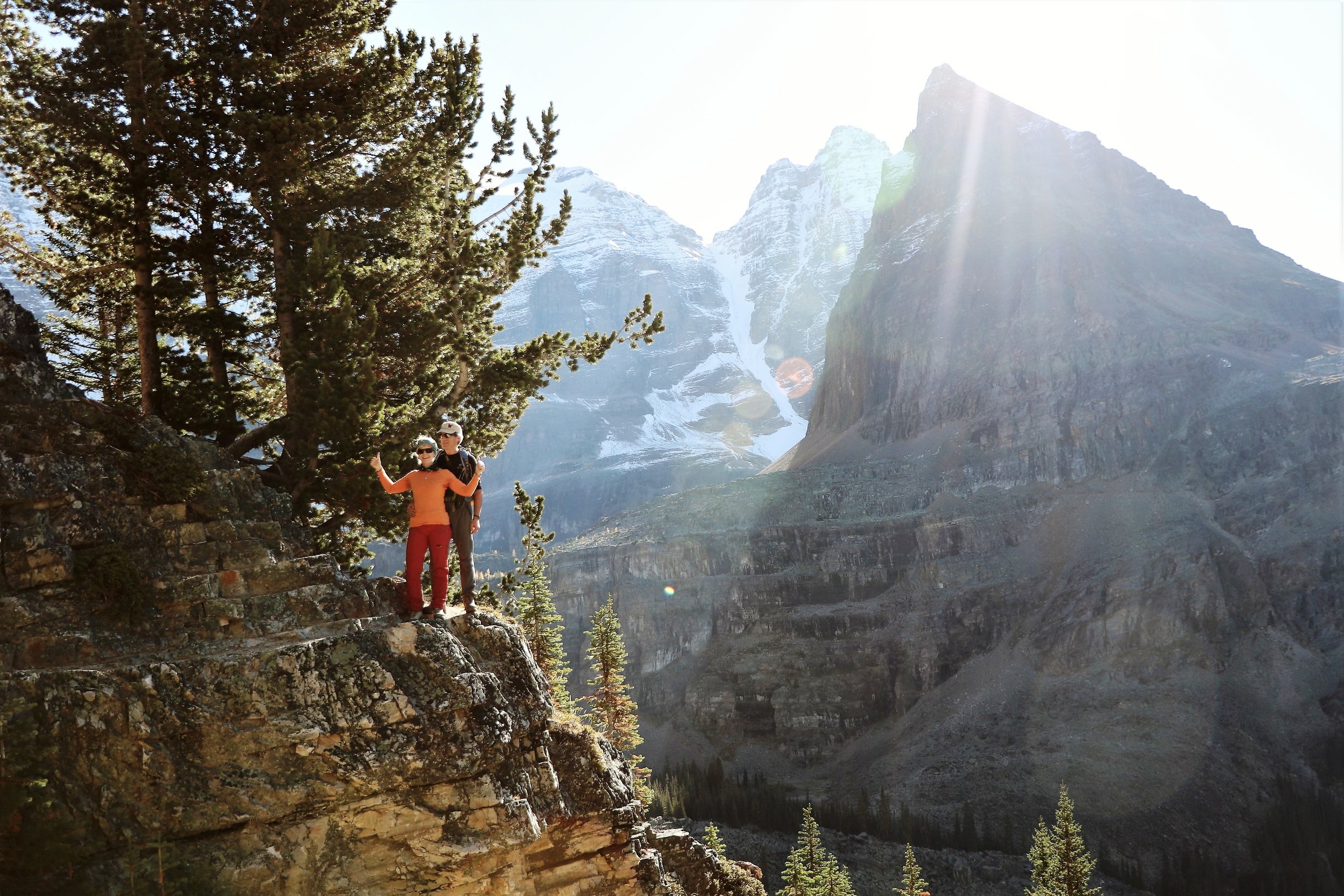
We just finished a trip to Tanzania that included climbing Mt Klilmanjaro and a safari tour of the Ndutu Conservation Area, Serengeti National Park, and the Ngorongoro Crater. Below are a few pictures along the way.

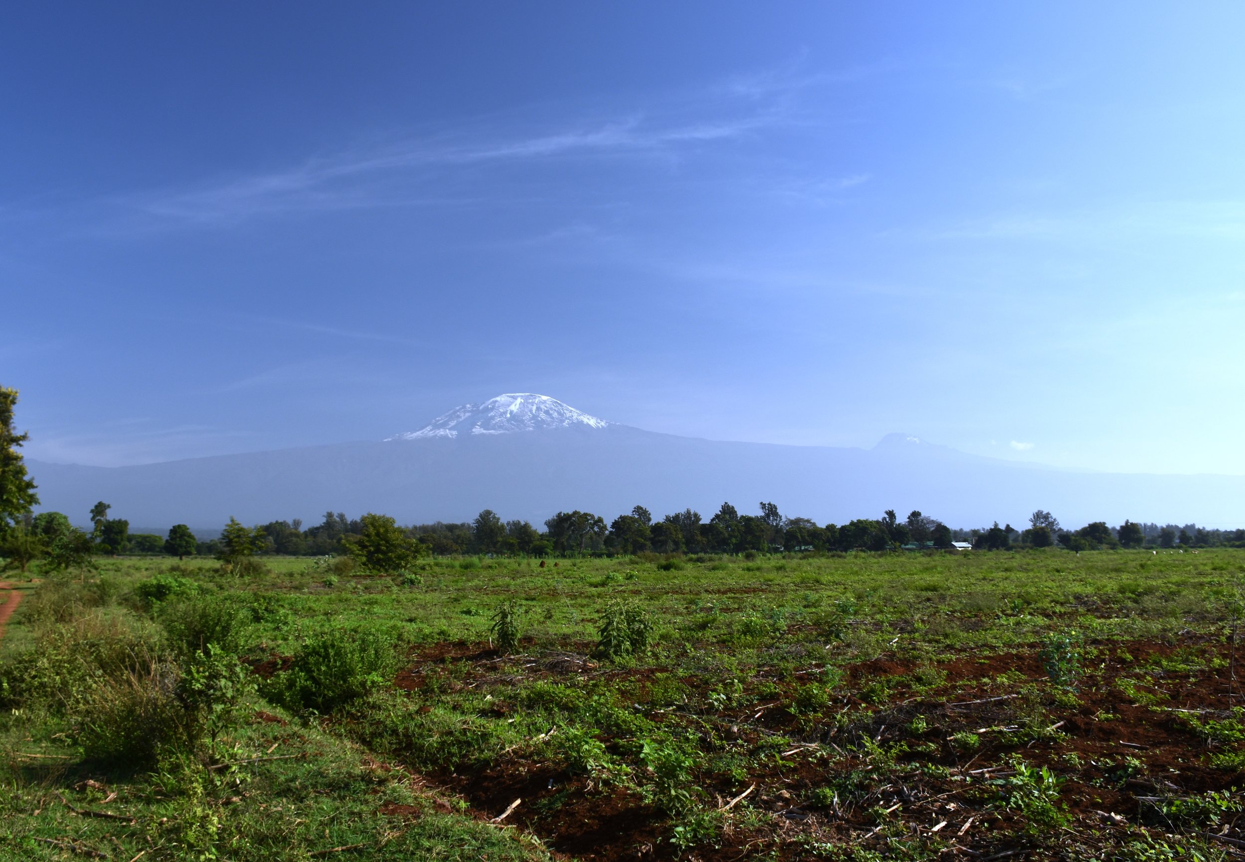
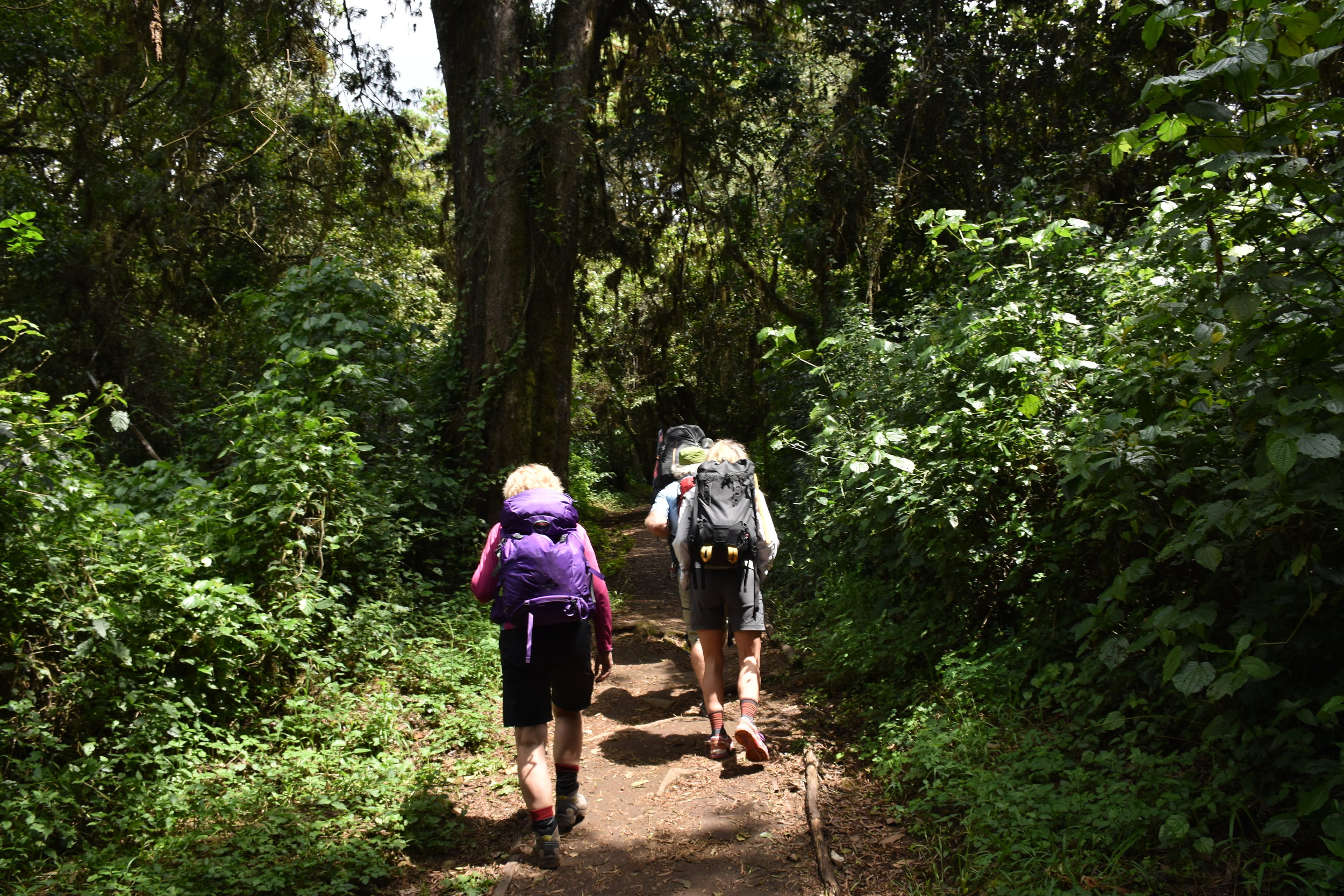
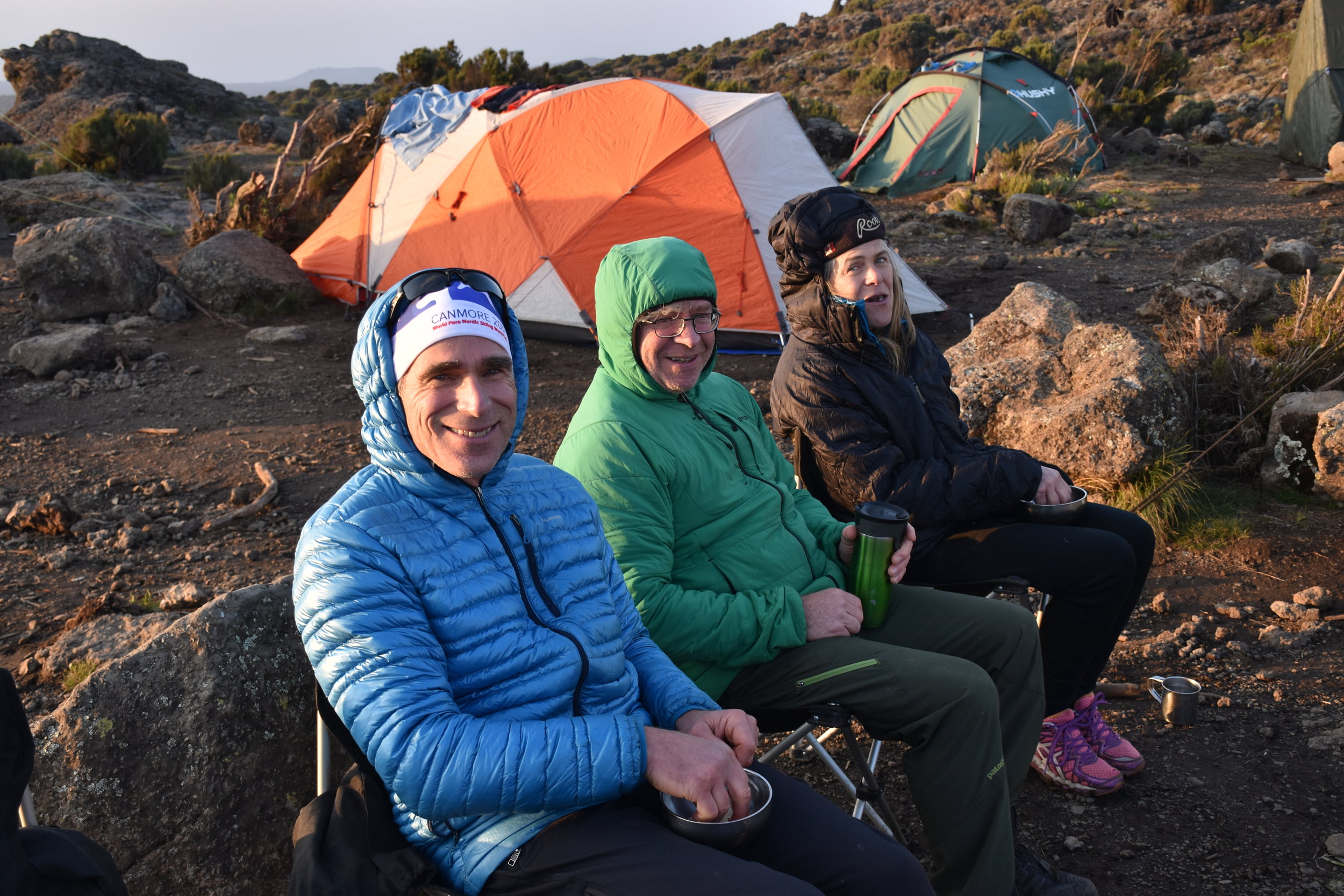
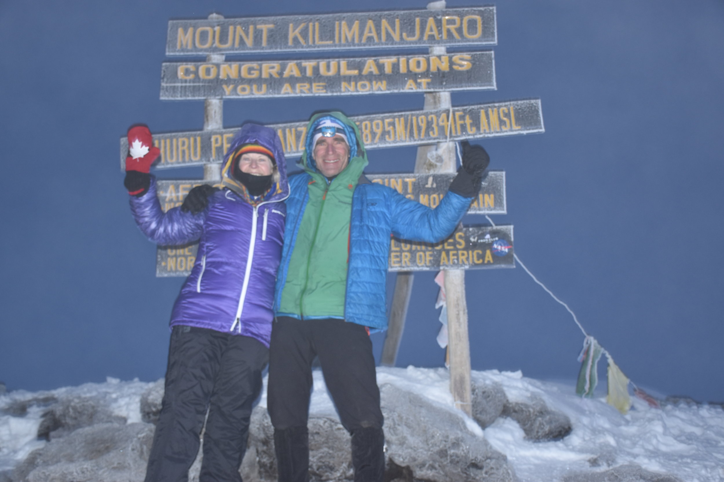
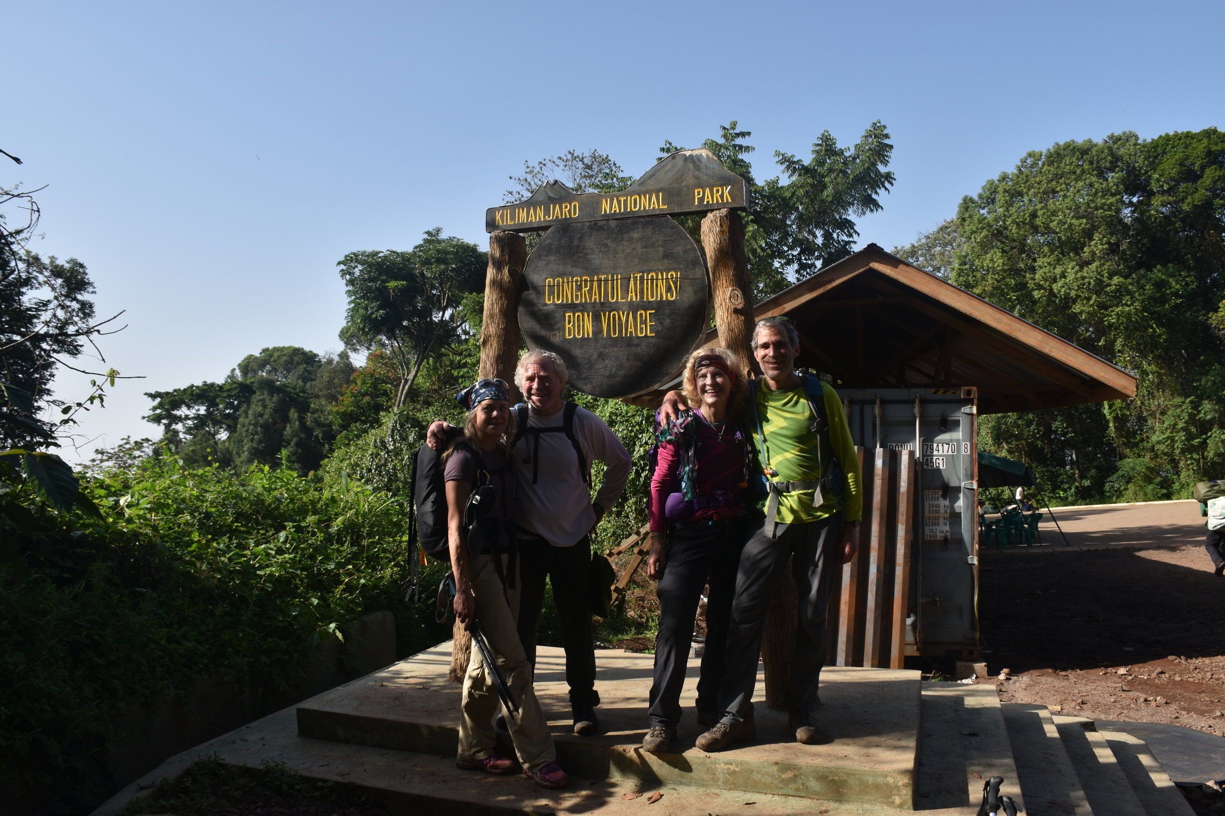
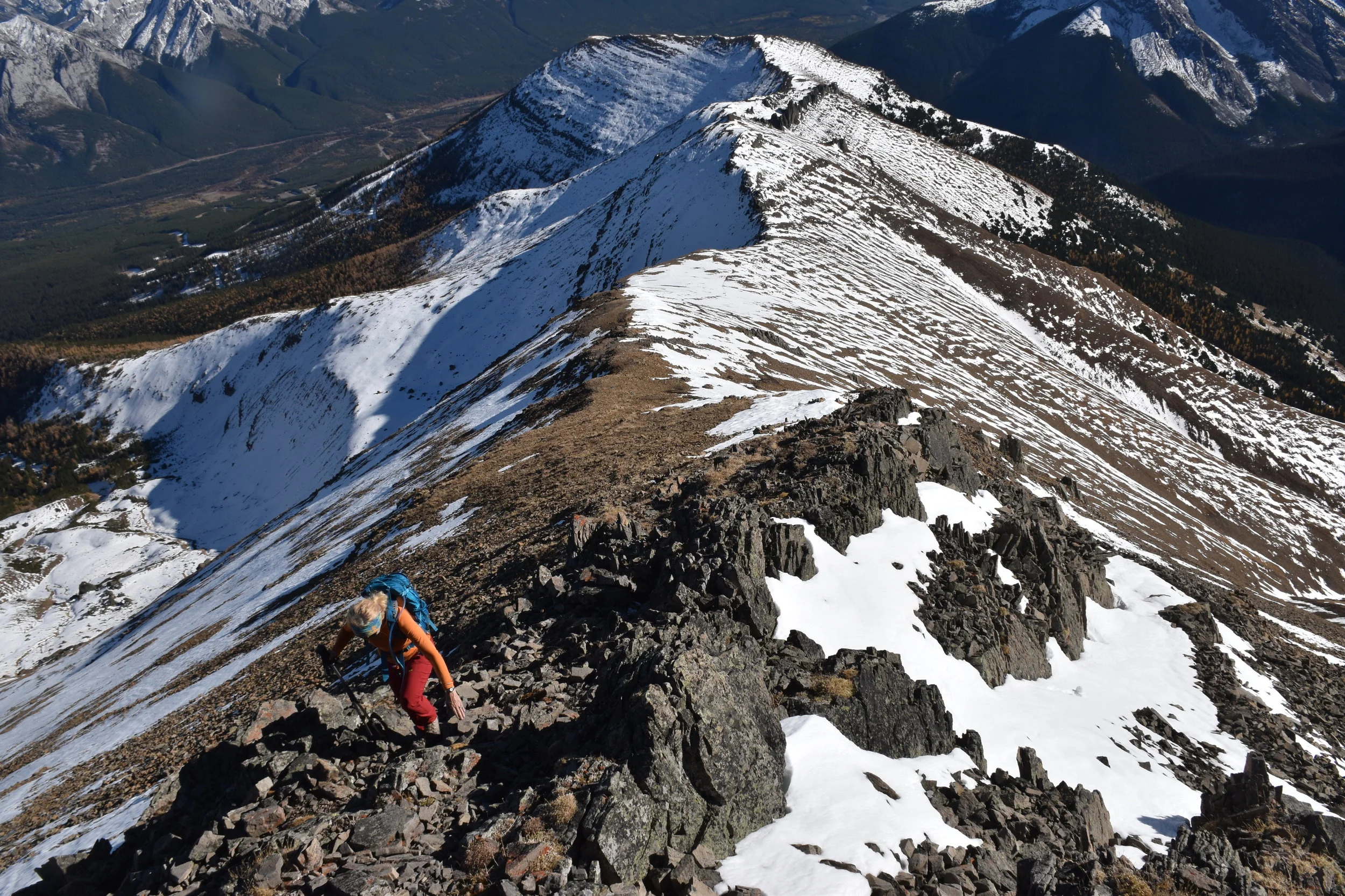
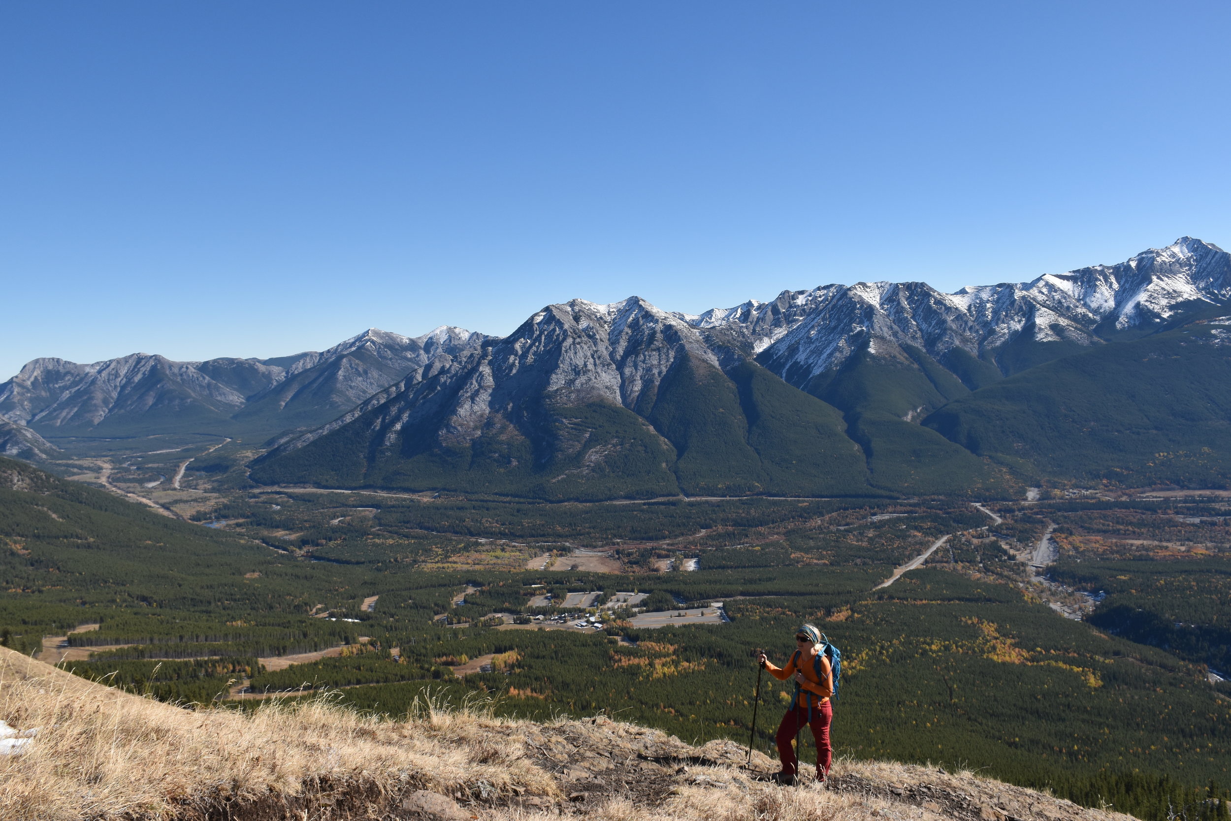
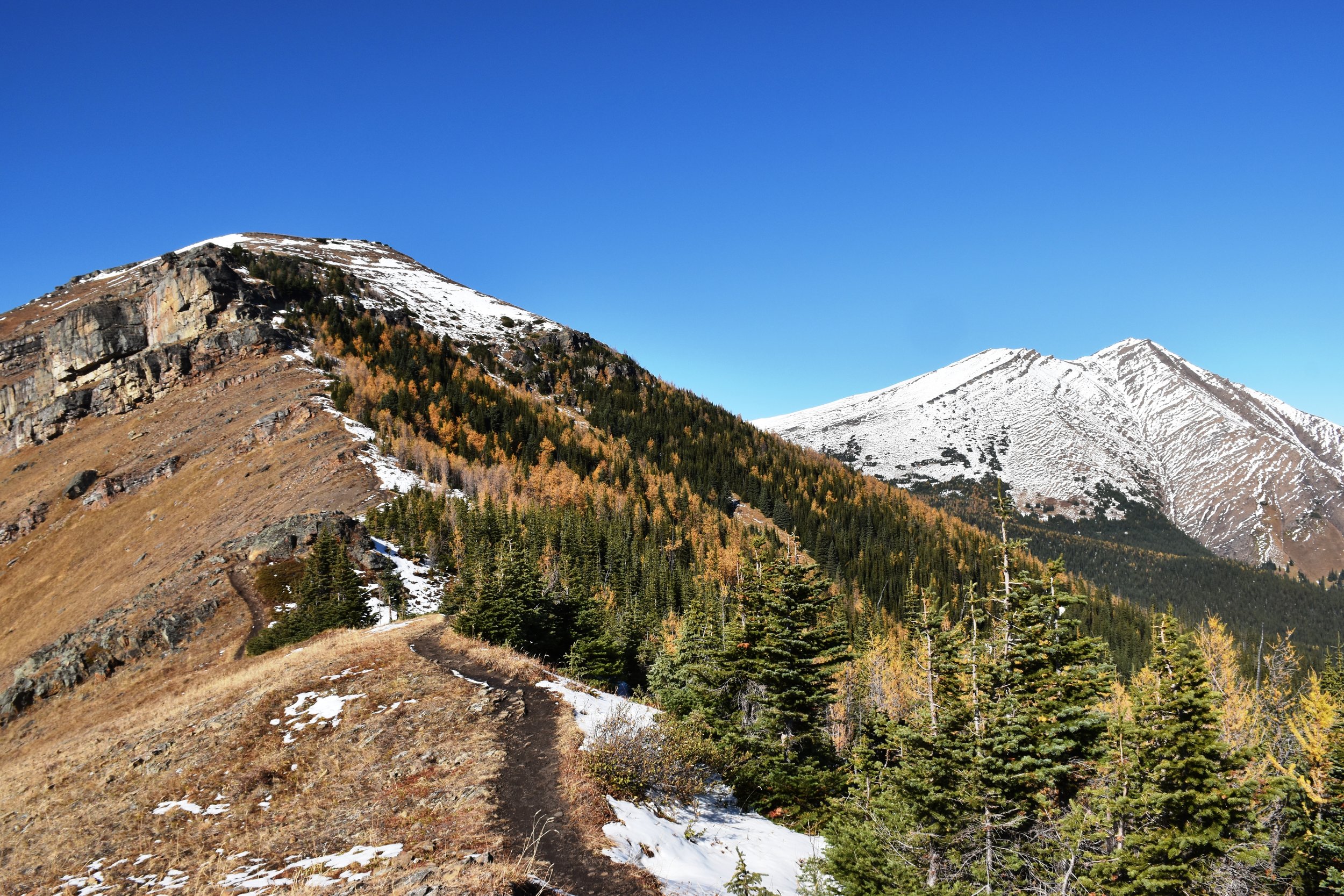
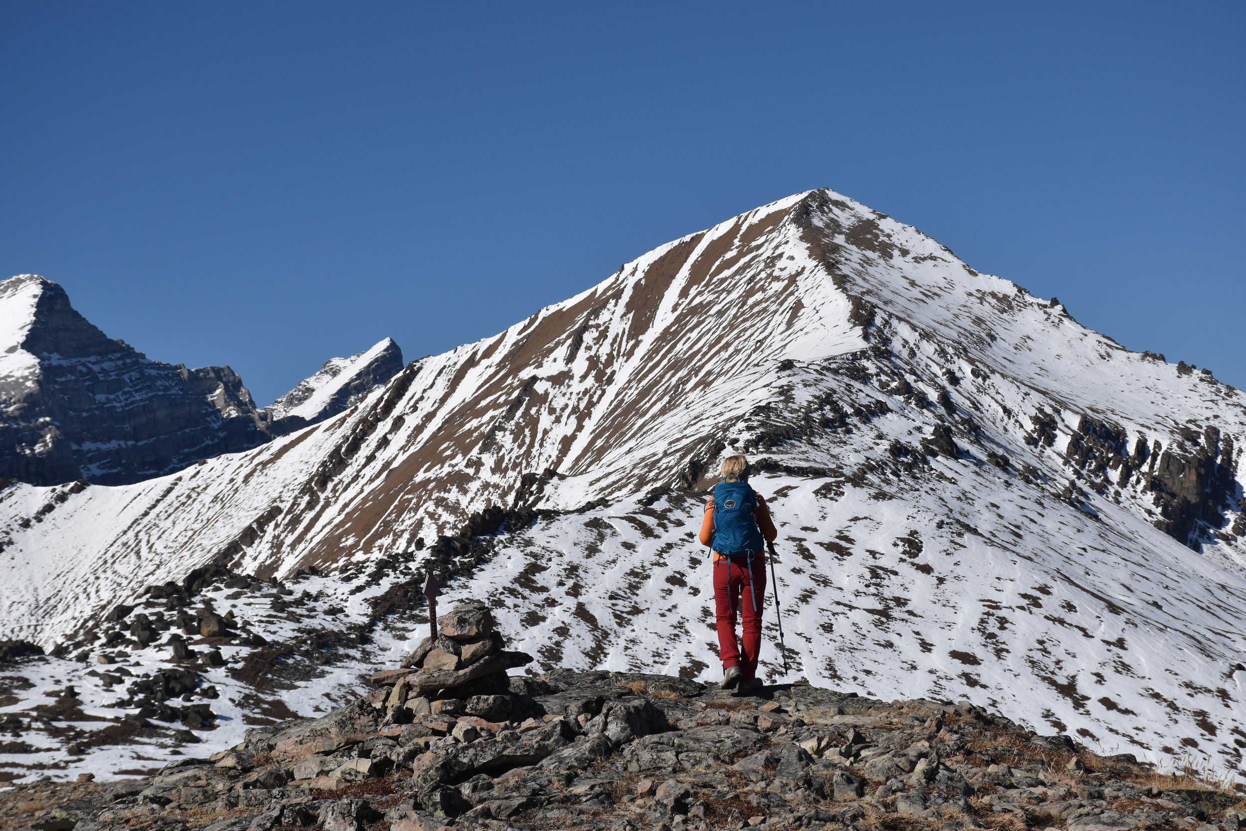
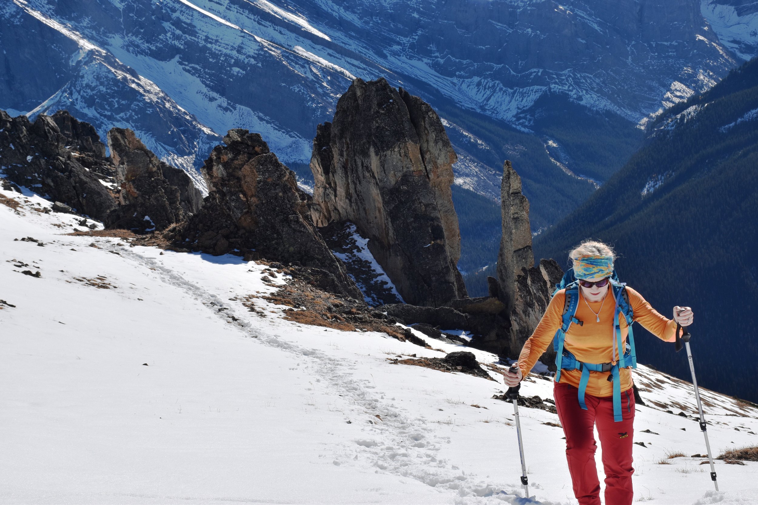
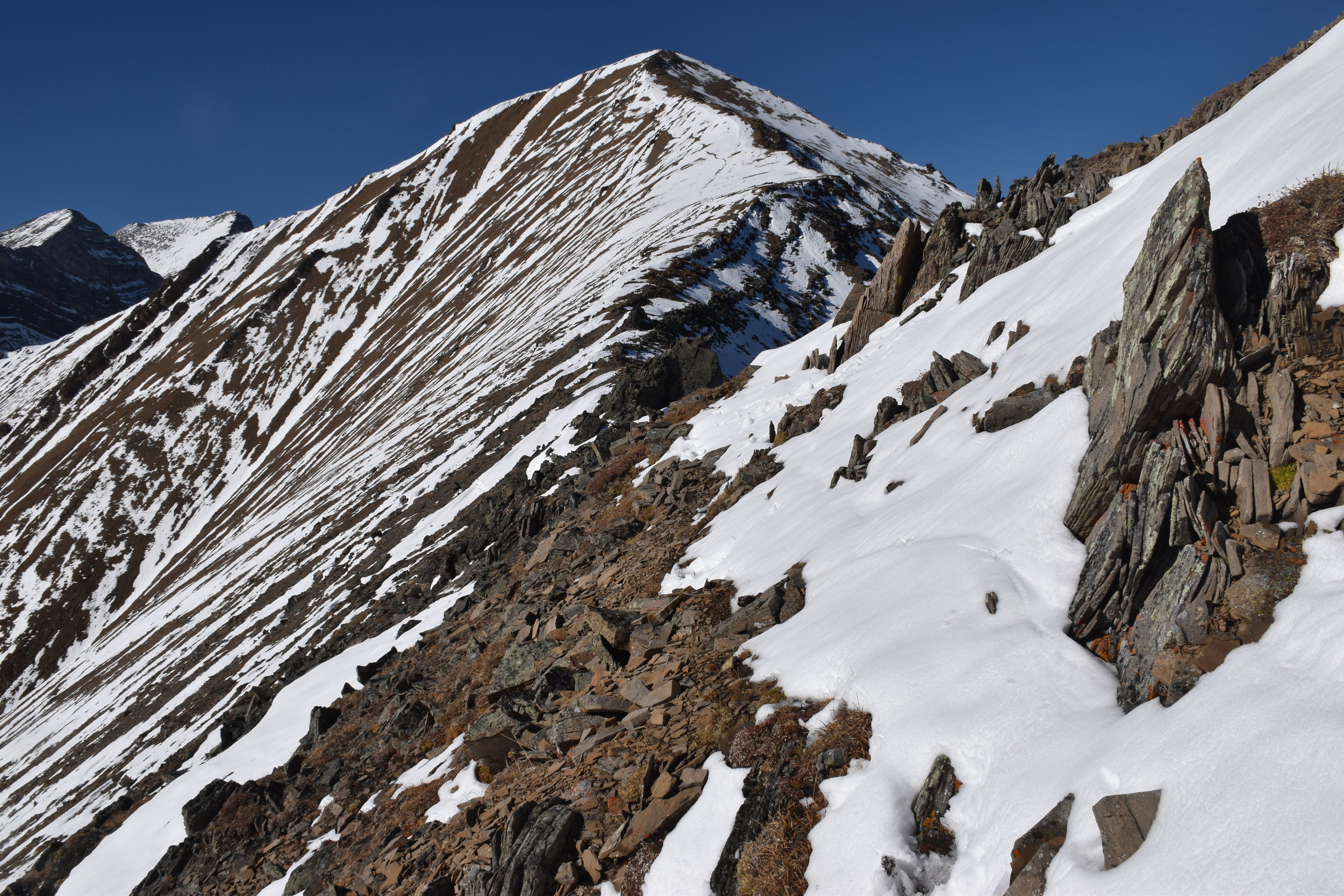
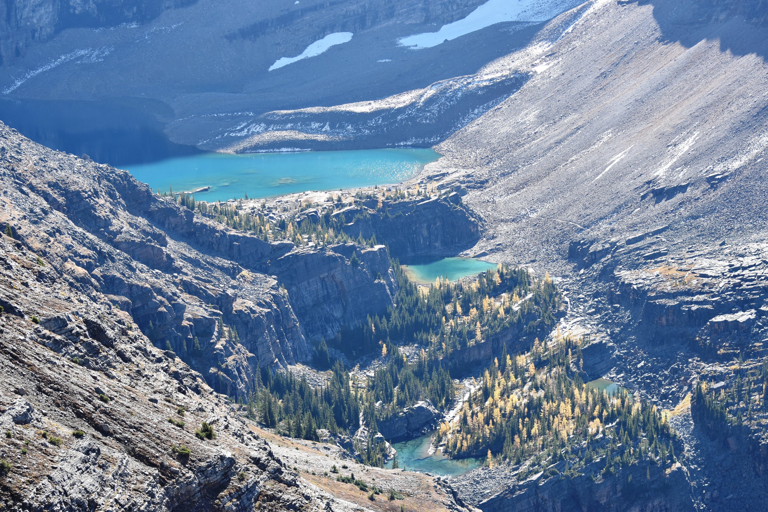
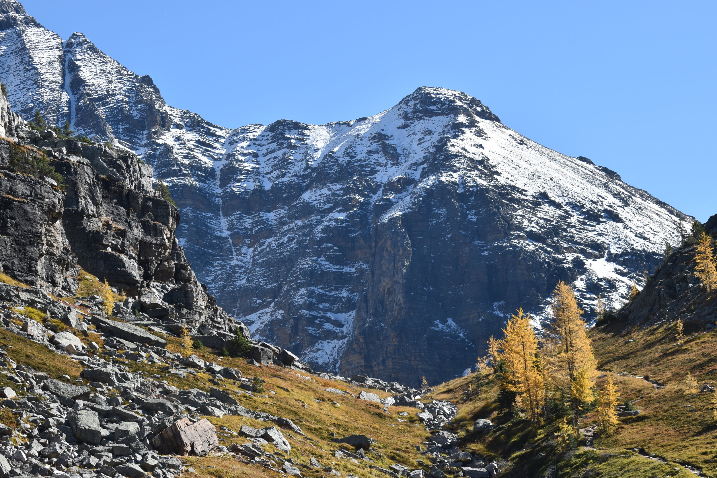
Kilimanjaro comes in 5895m (19,341 feet) above sea level, making it the highest peak in Africa. Despite being just south of the equator, it's very cold at the top! The climb took 7 days, and we couldn't have done it without guides and porters, which are required anyway.

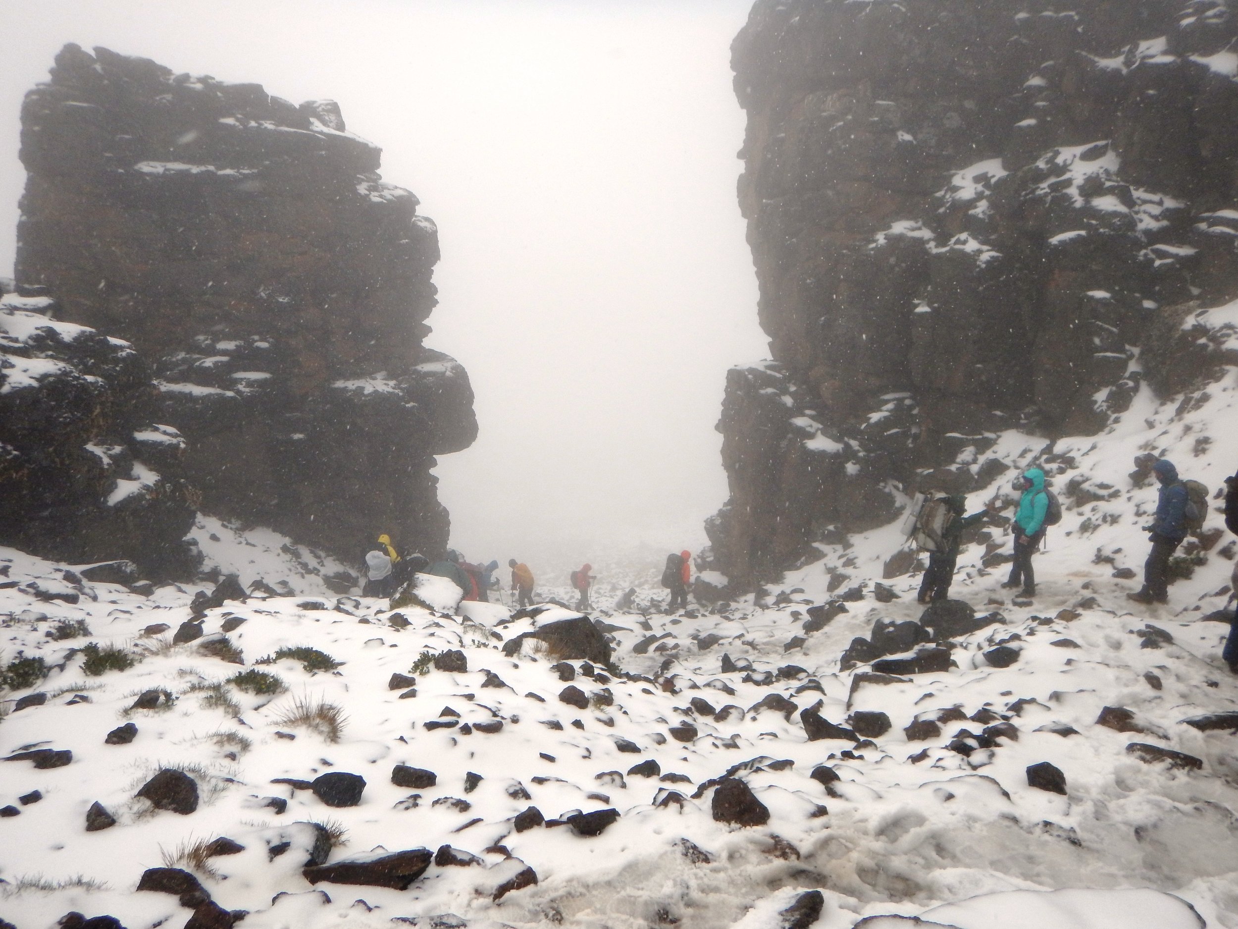
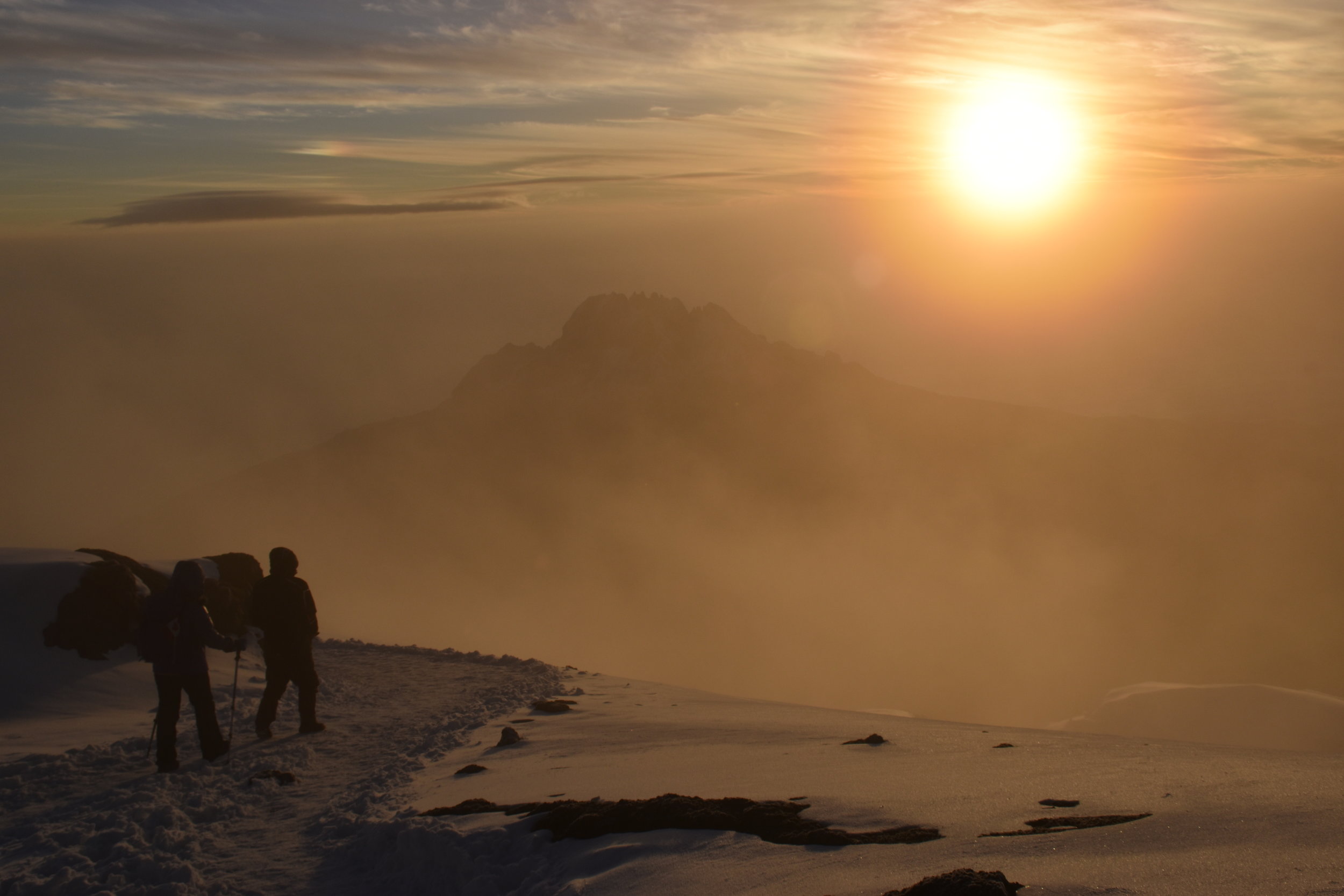
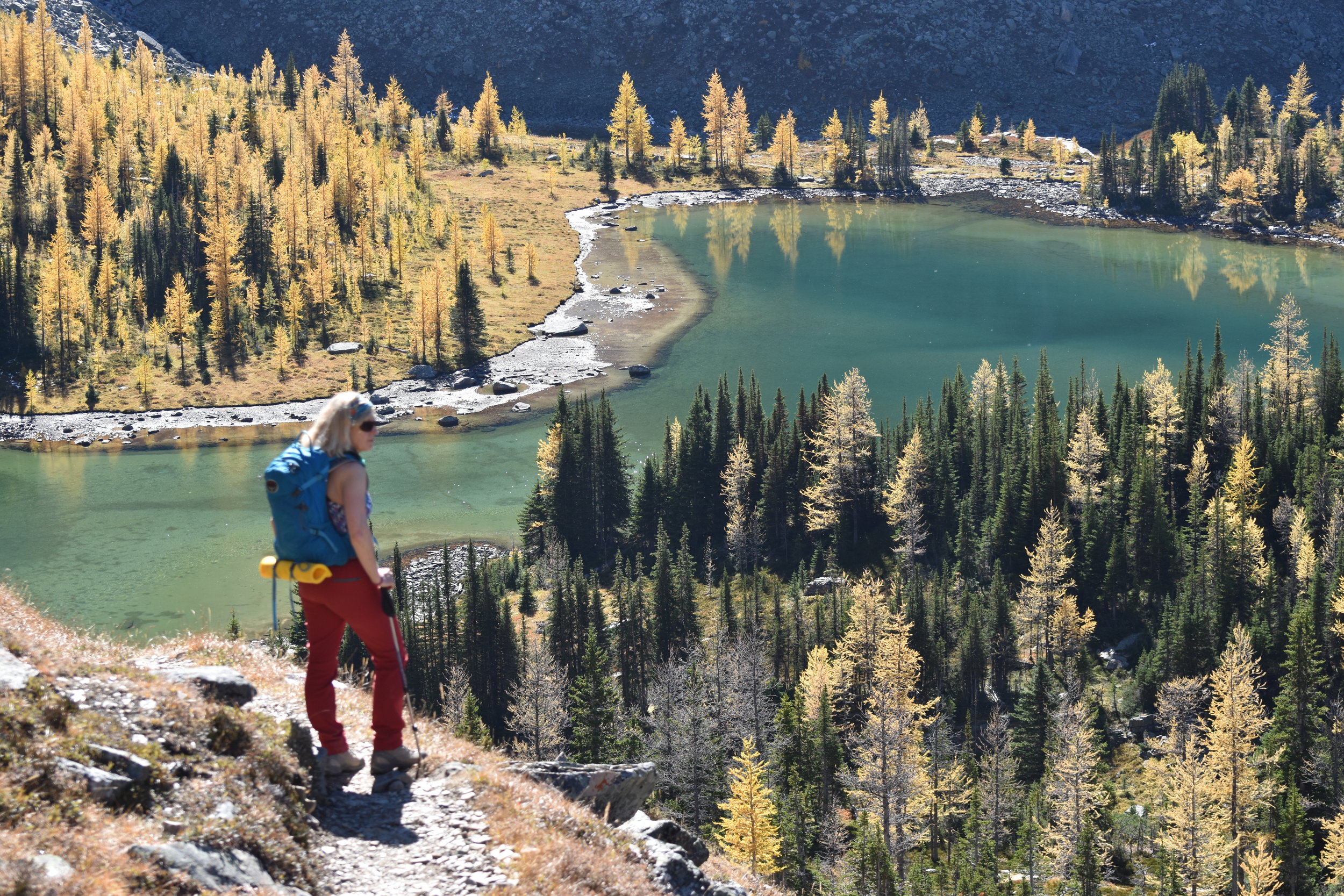
Although not technical, it's difficult due to the altitude. The first five days on this route (Lemosho) are spent slowly gaining altitude to base camp 4600m (15,100') - plenty of up AND down just to help with acclimatization. Climb day requires gaining 1295m (4200') to the frozen peak starting at midnight. We reached the peak before sunup, and the camera batteries were not happy! We descended into the rising sun for 2785m (9100'), making it the longest descent on foot that I've ever done! We were toast. Next day, we descended another 1280m (4220') before lunch. After a rest day in Moshi, we headed out on safari.

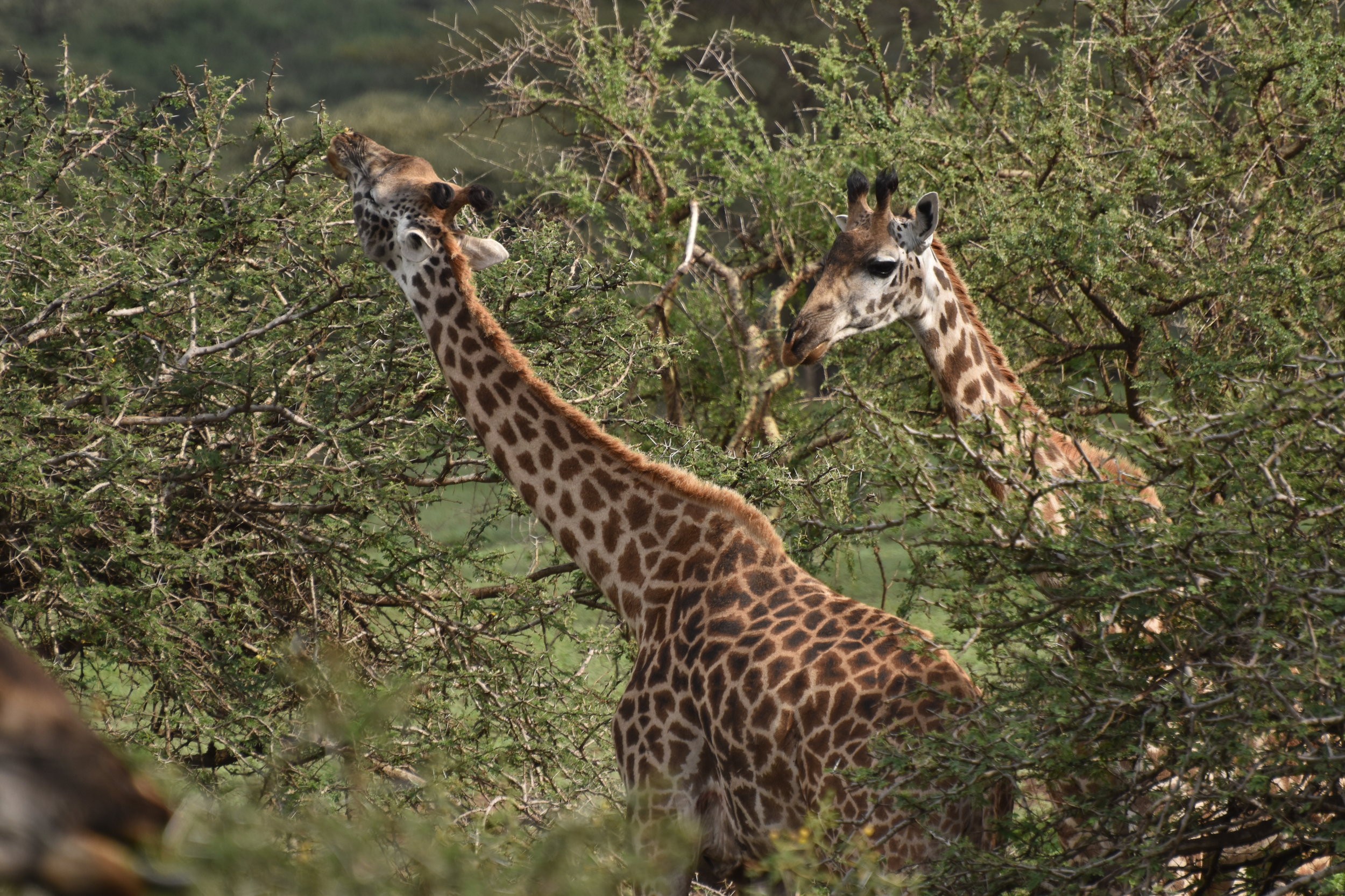
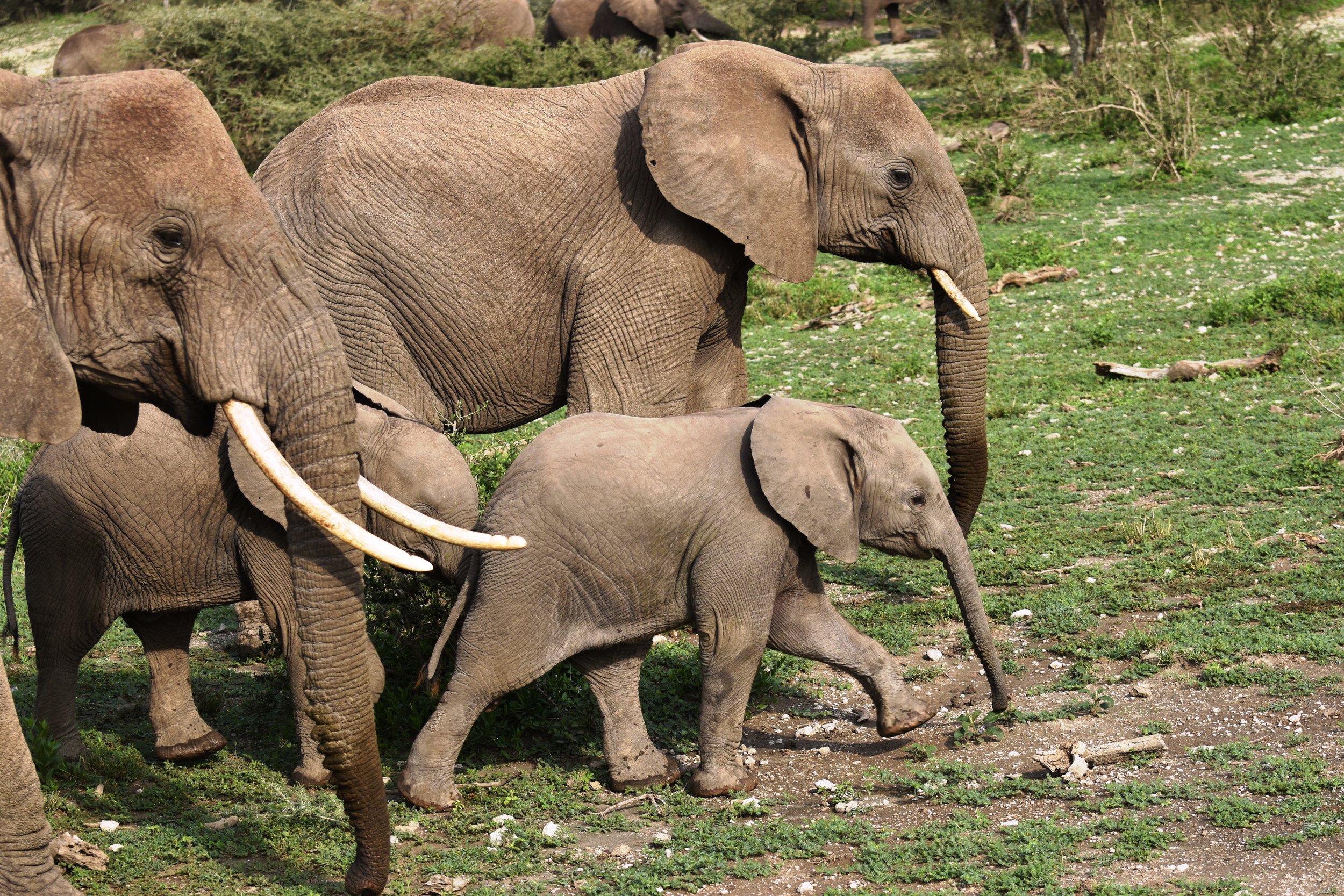
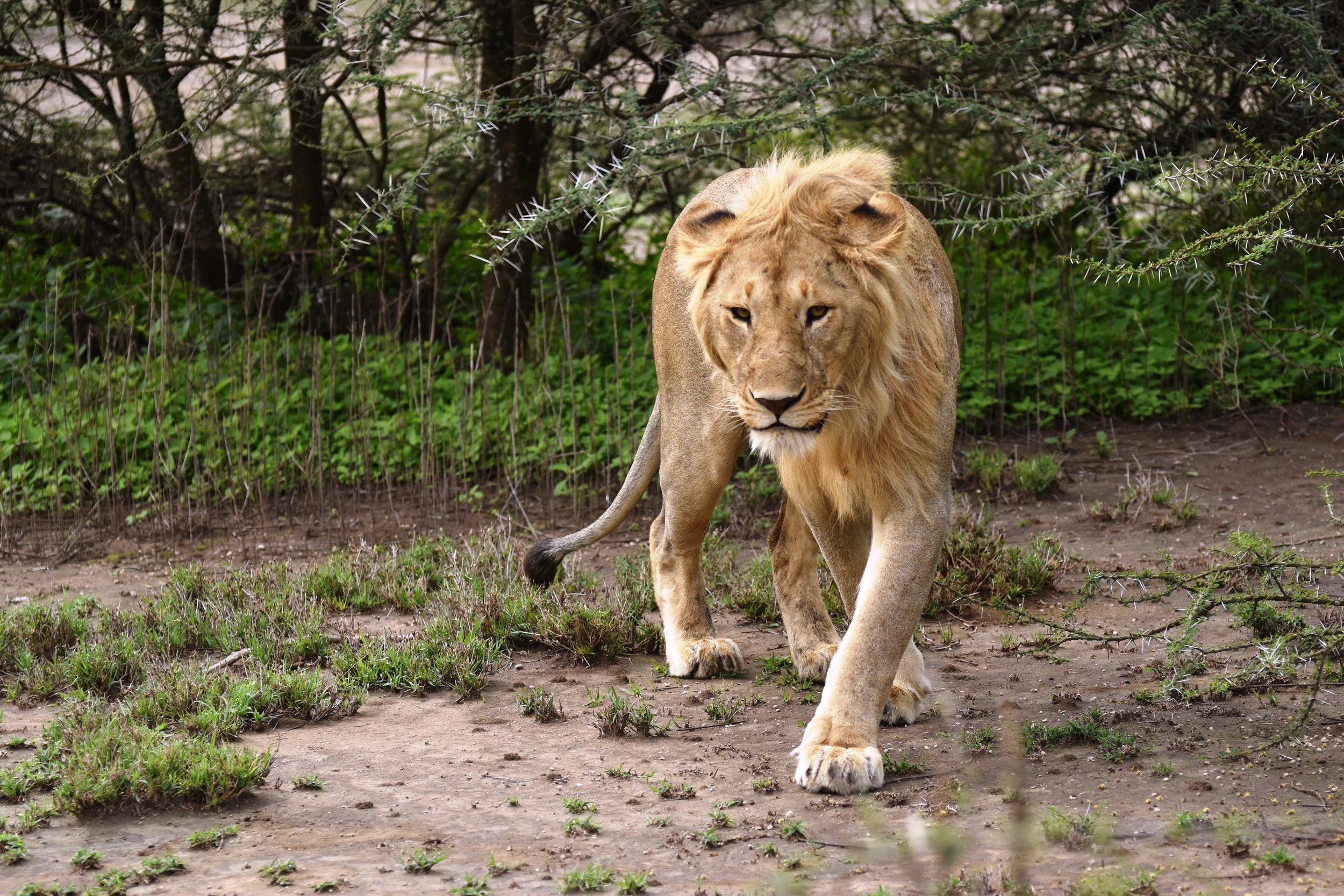
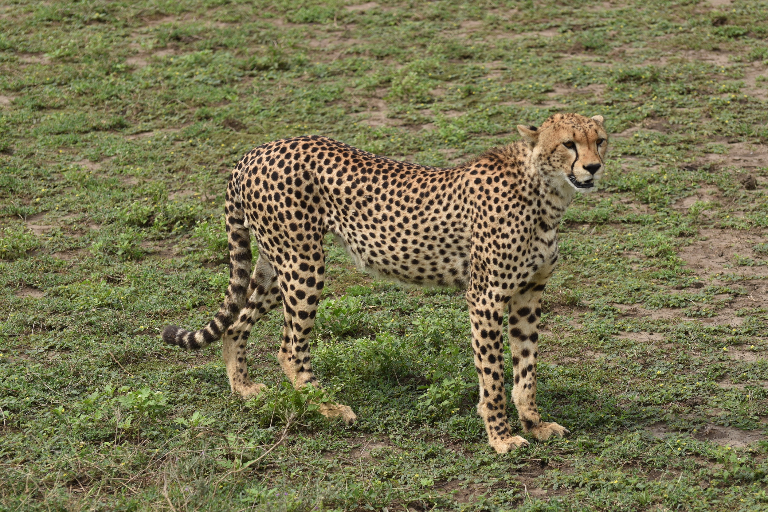
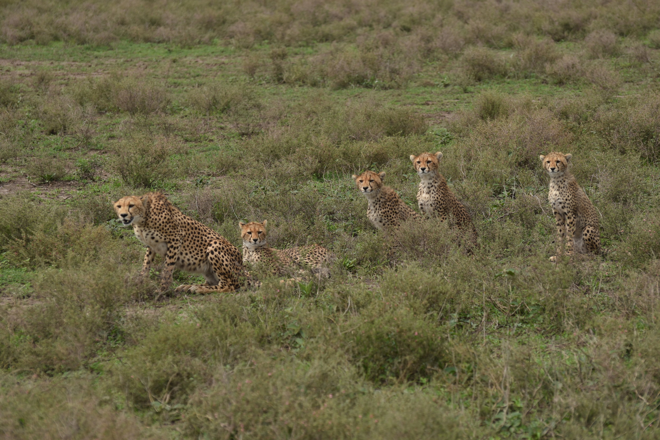
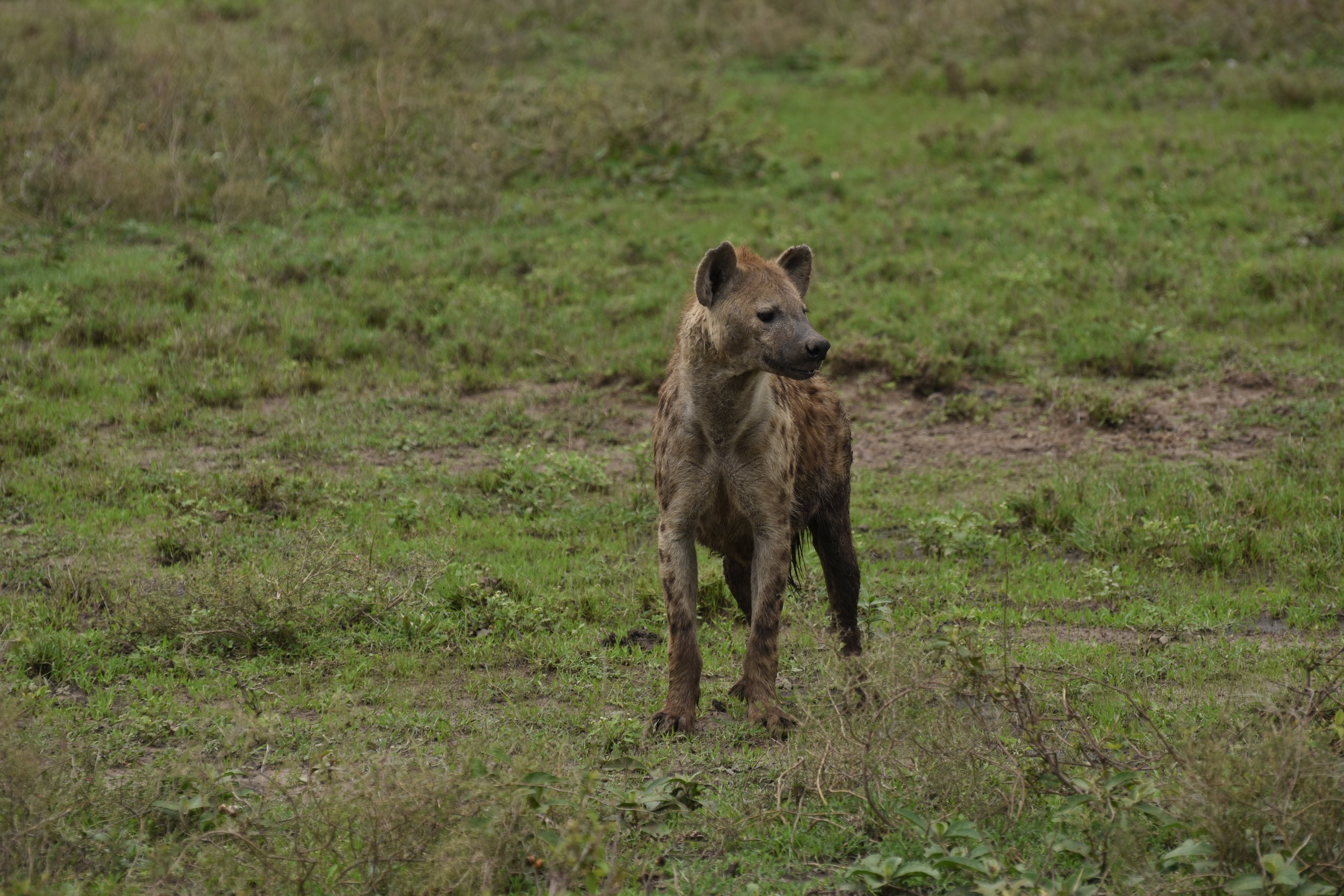
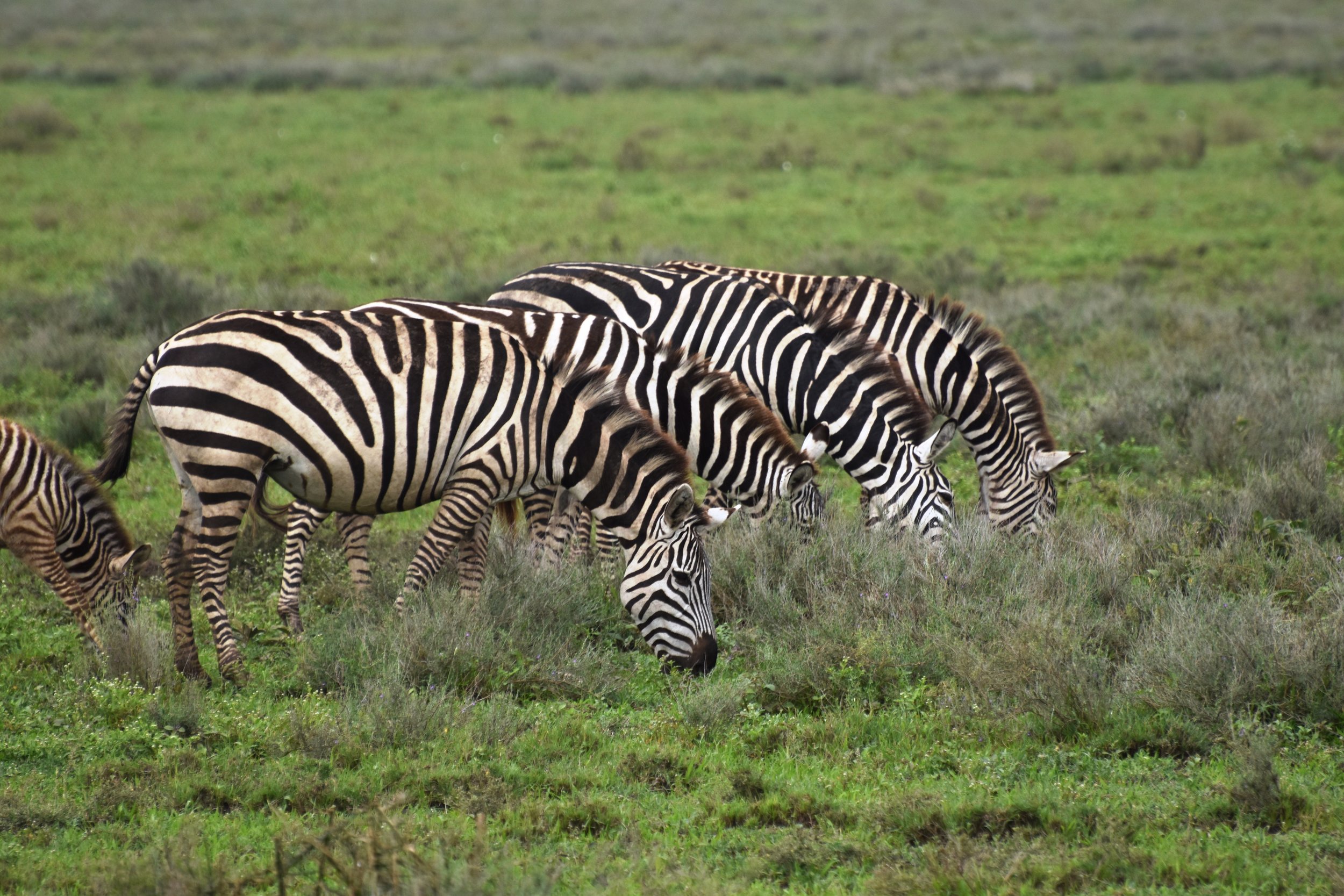
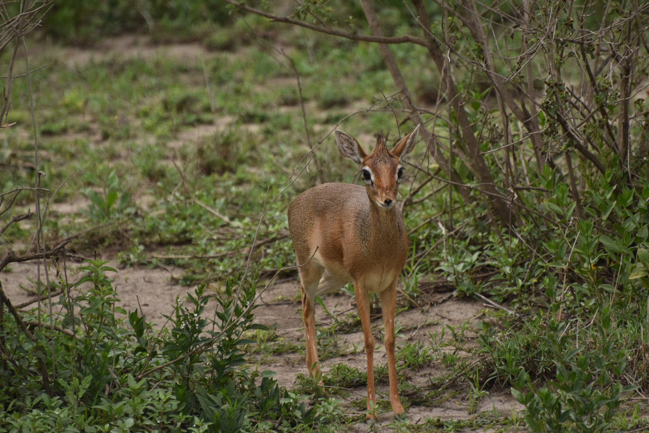
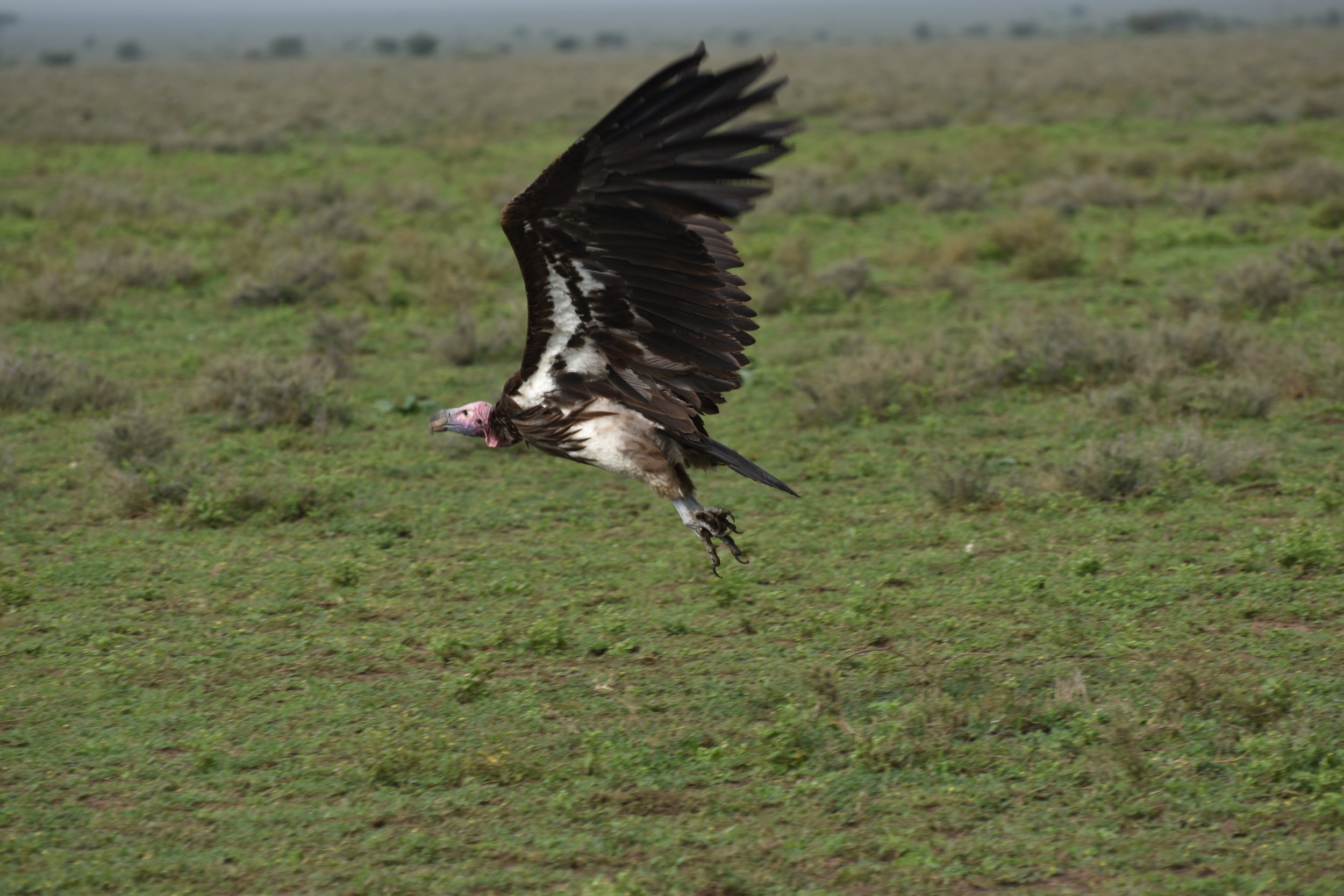
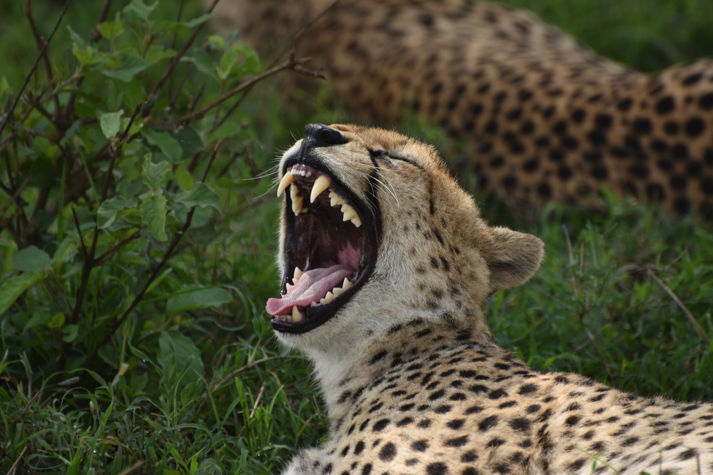
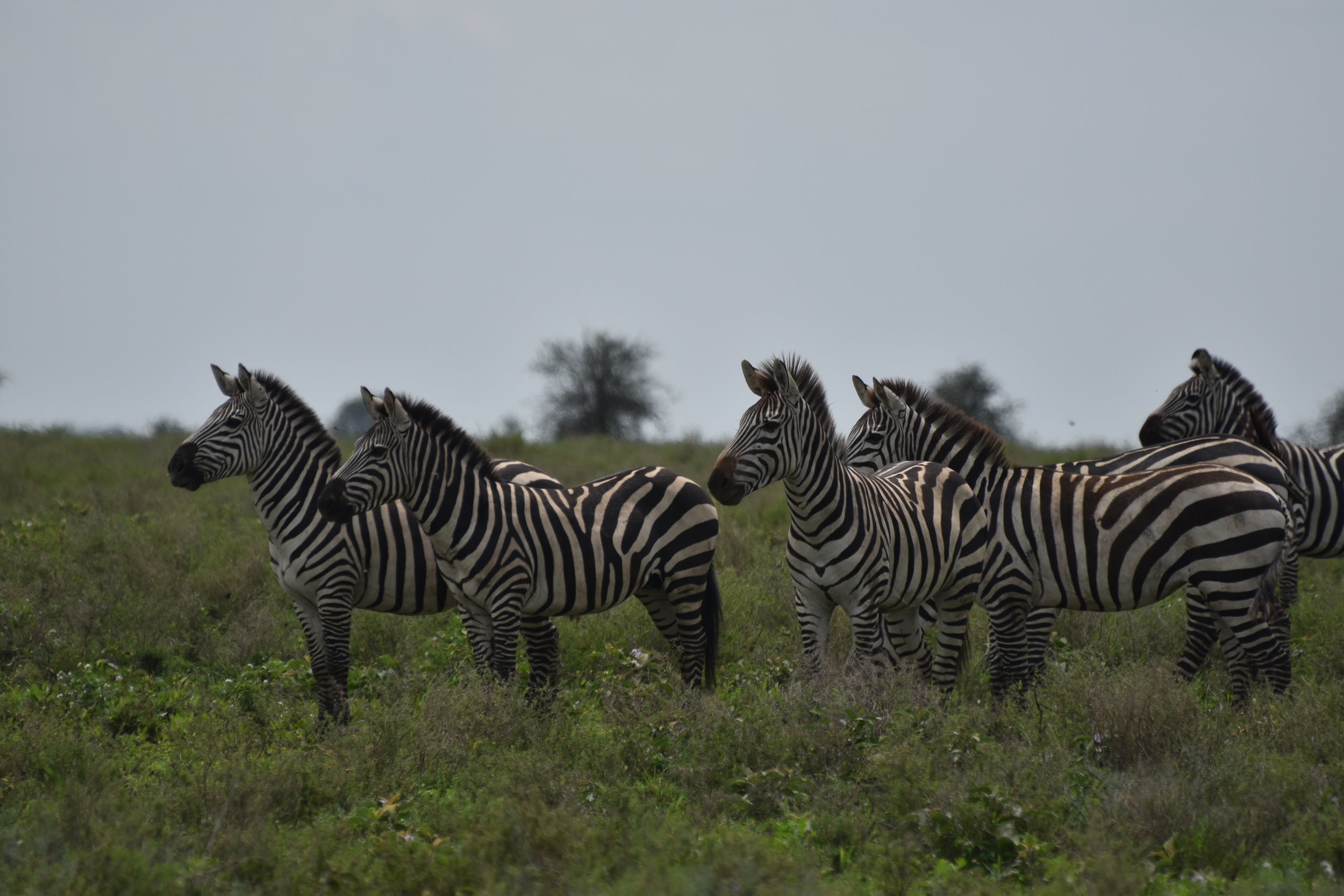
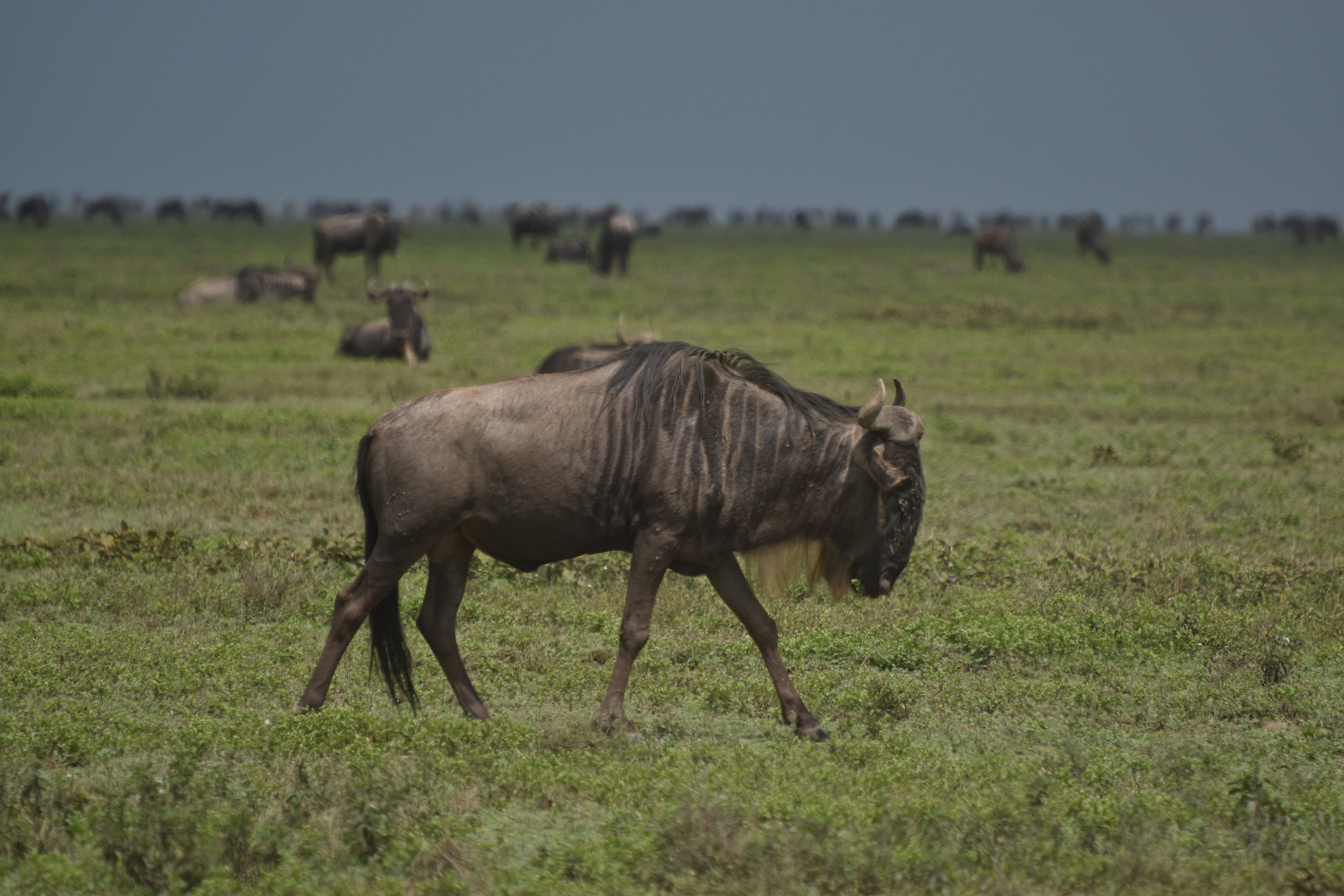
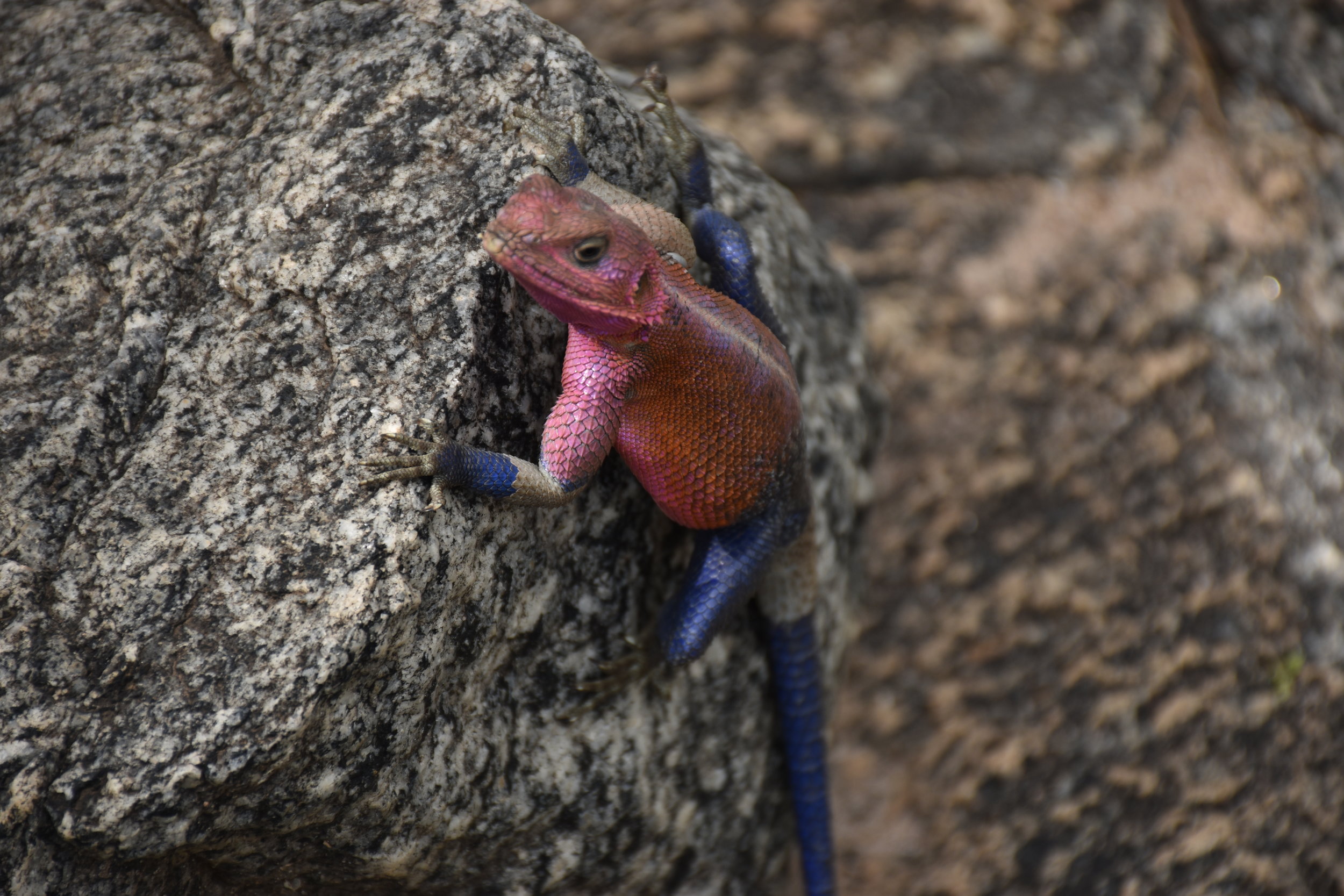
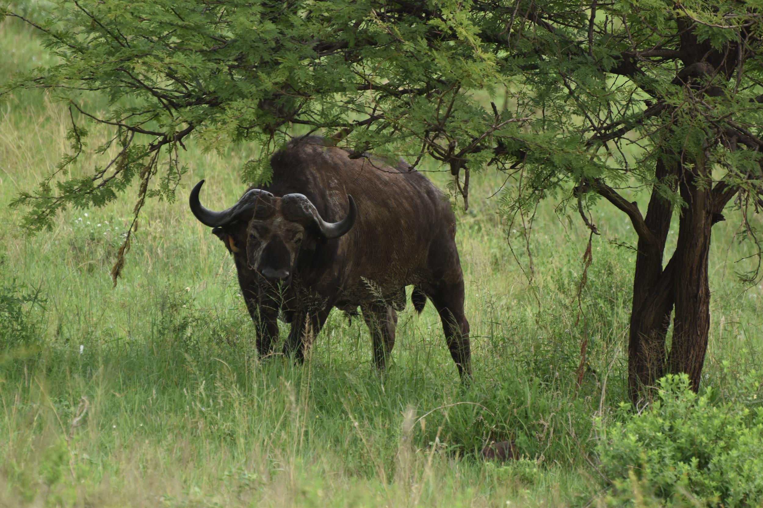
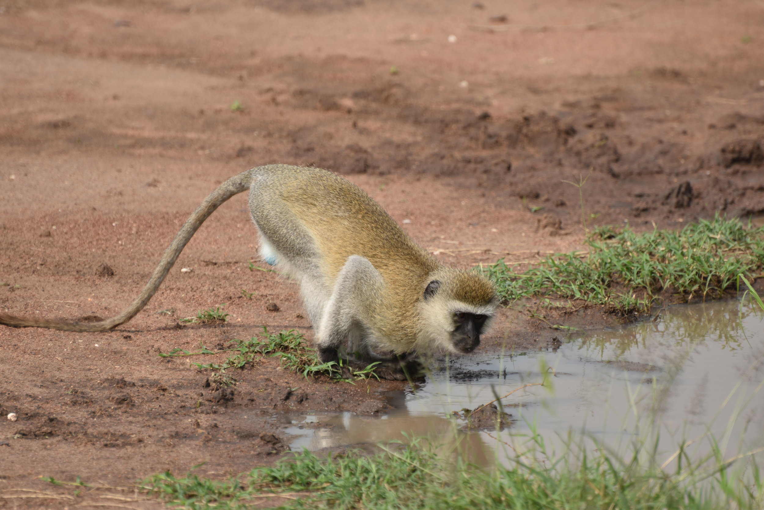
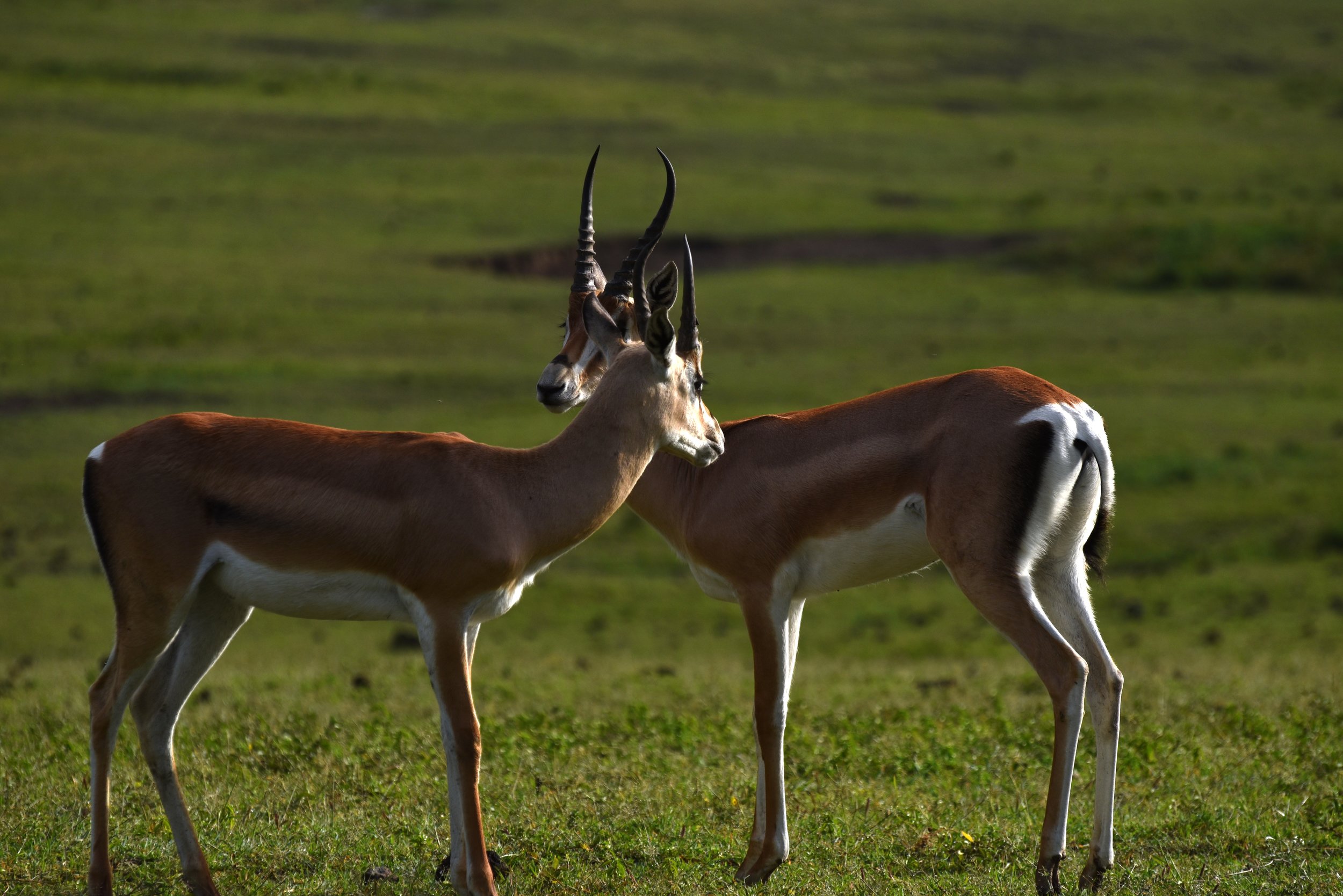
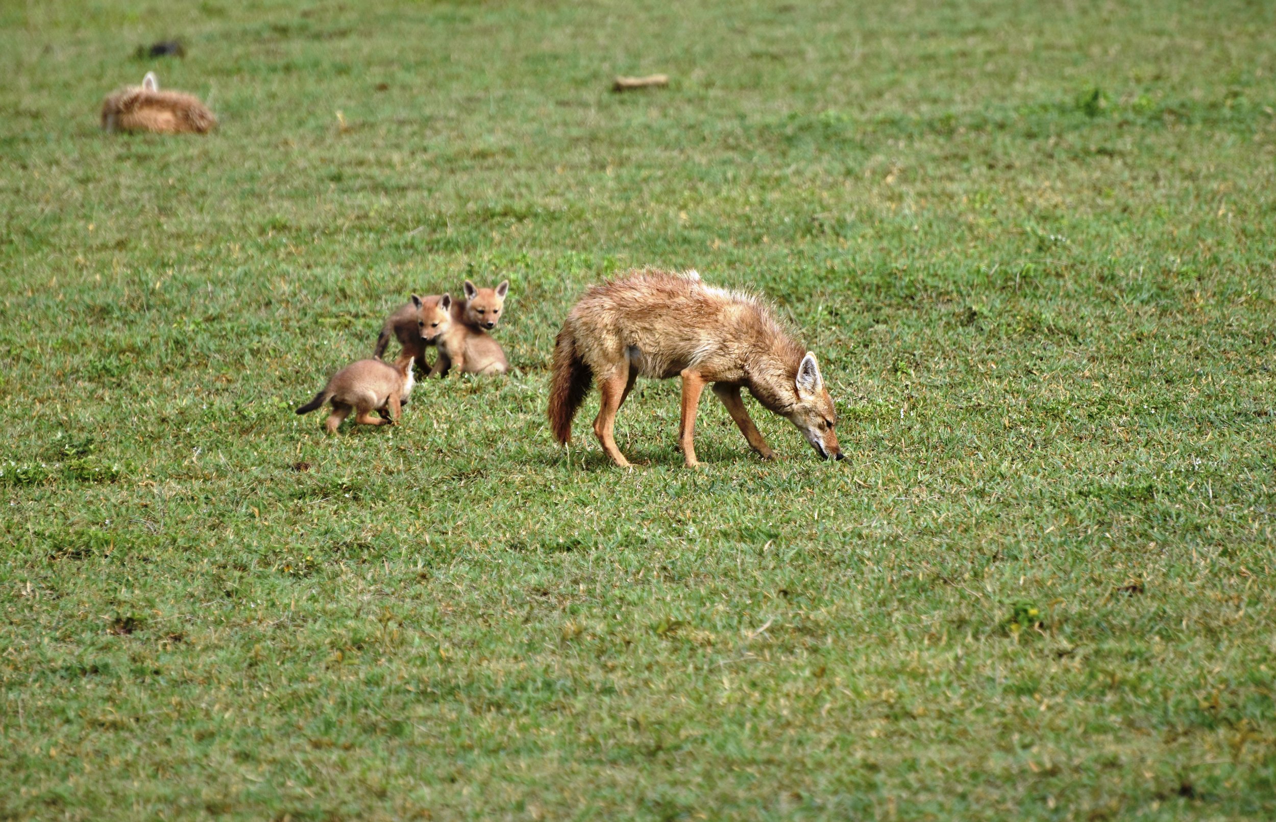
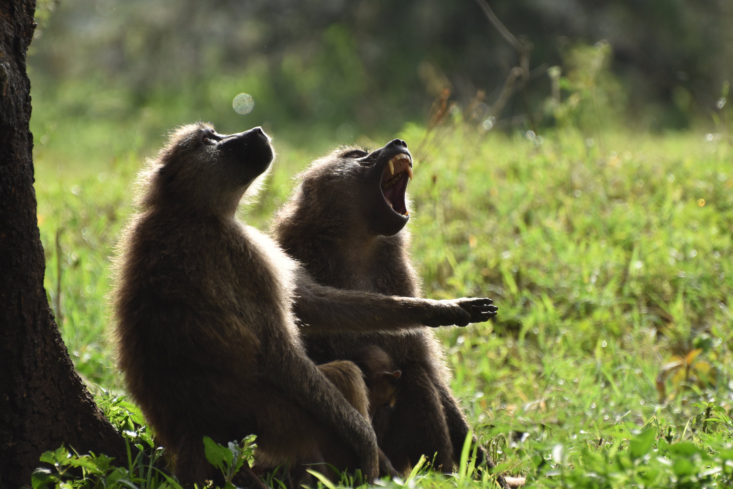
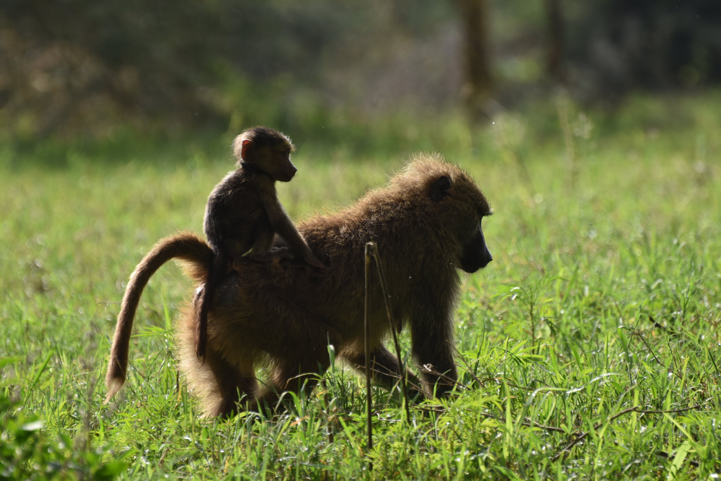
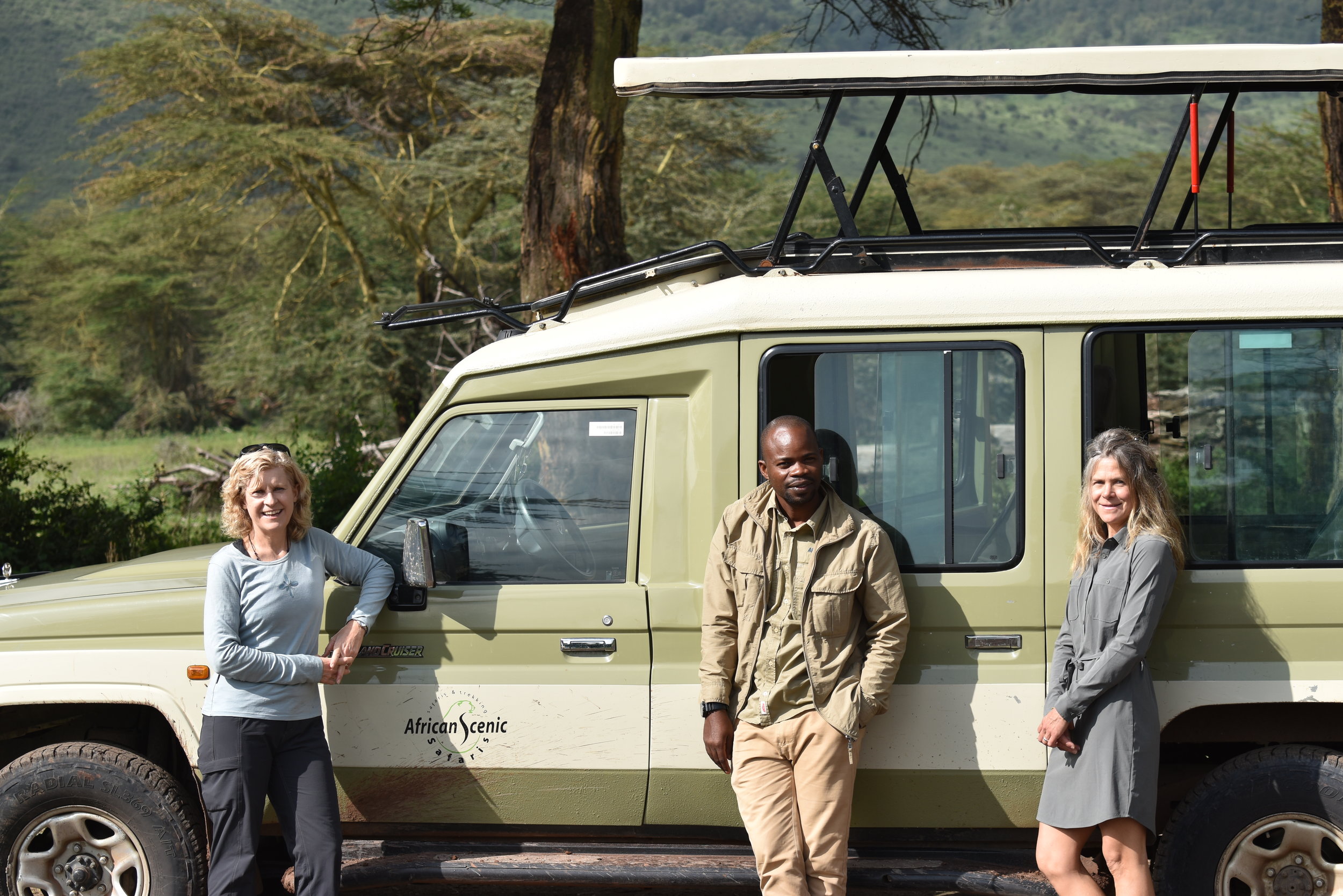
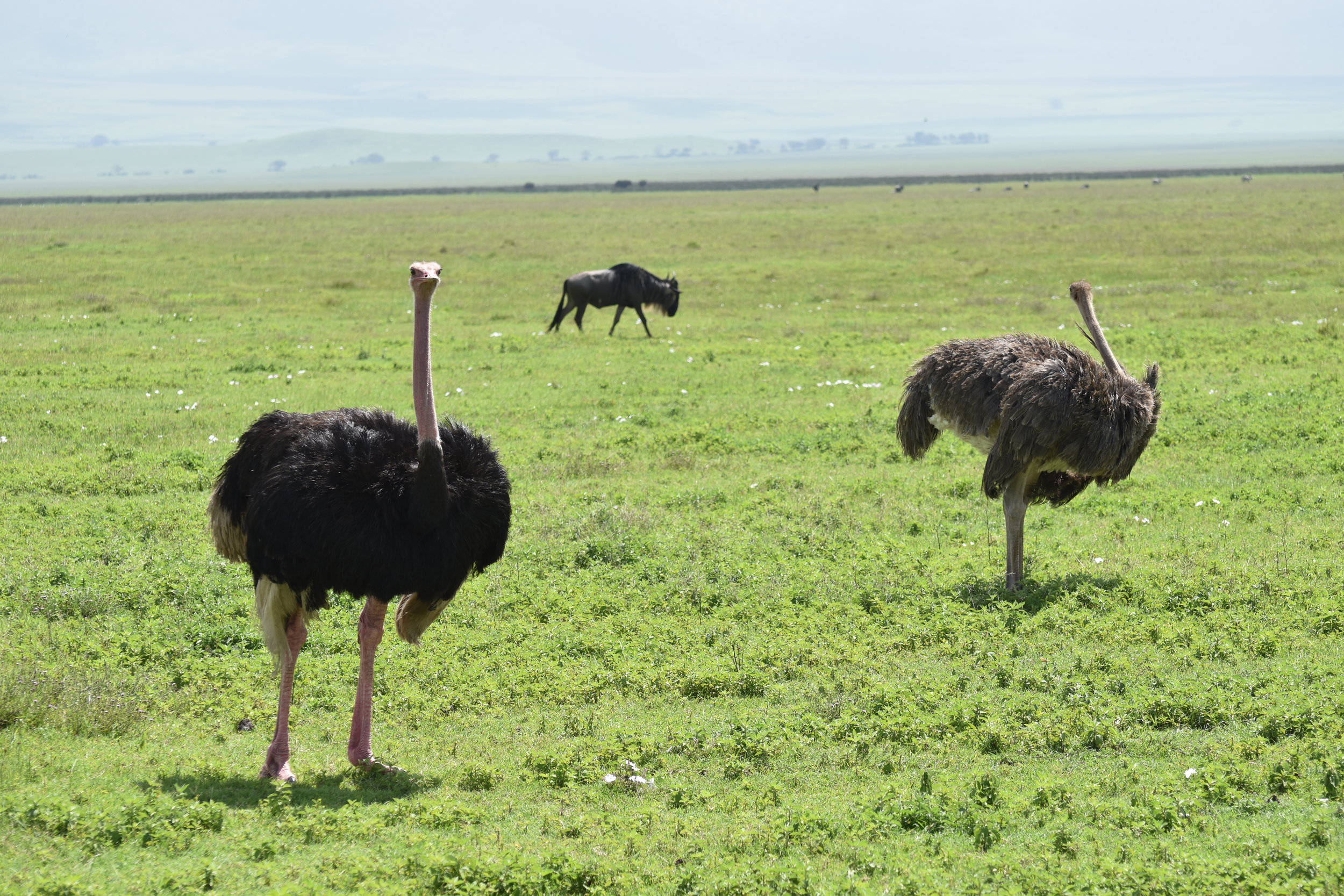
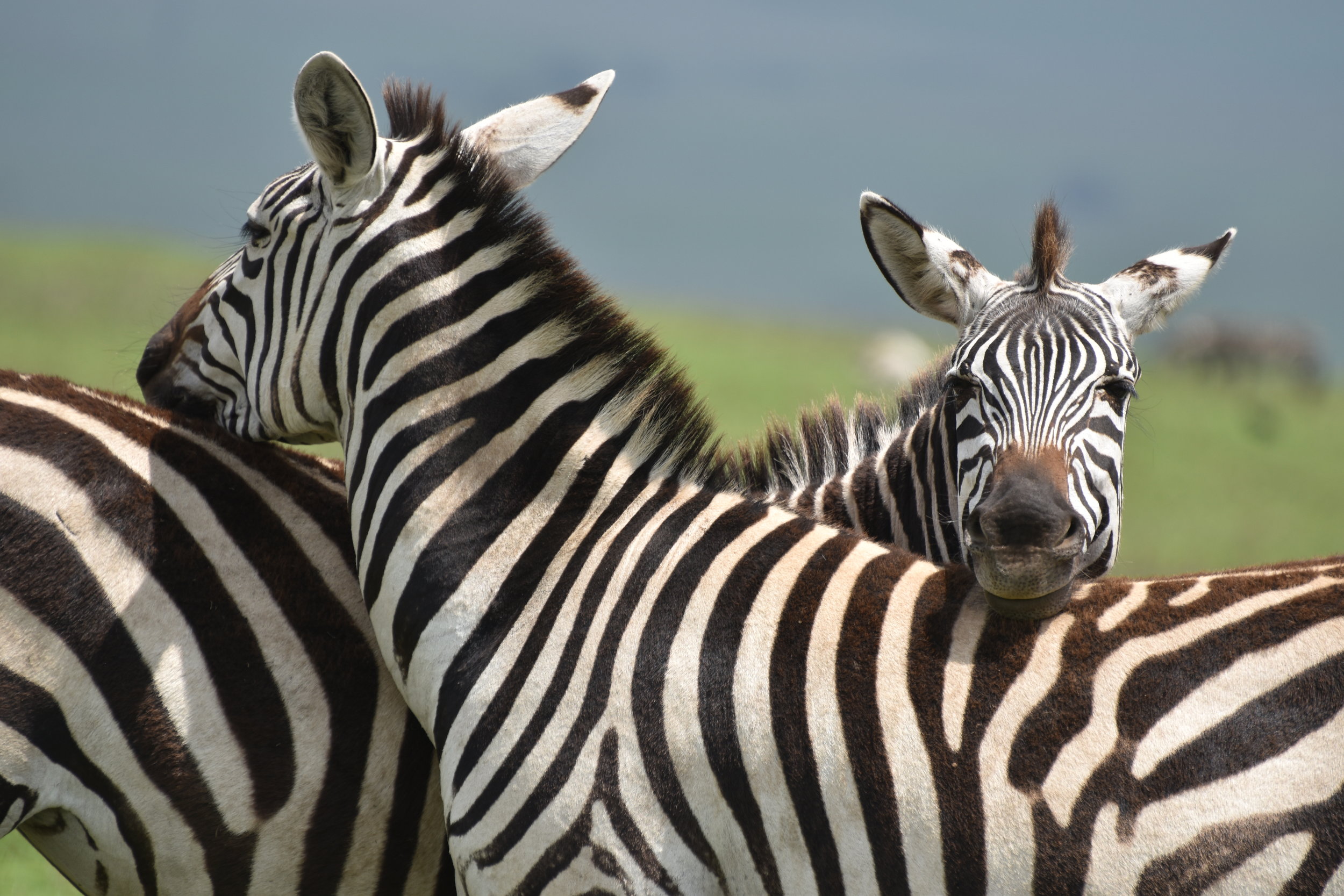
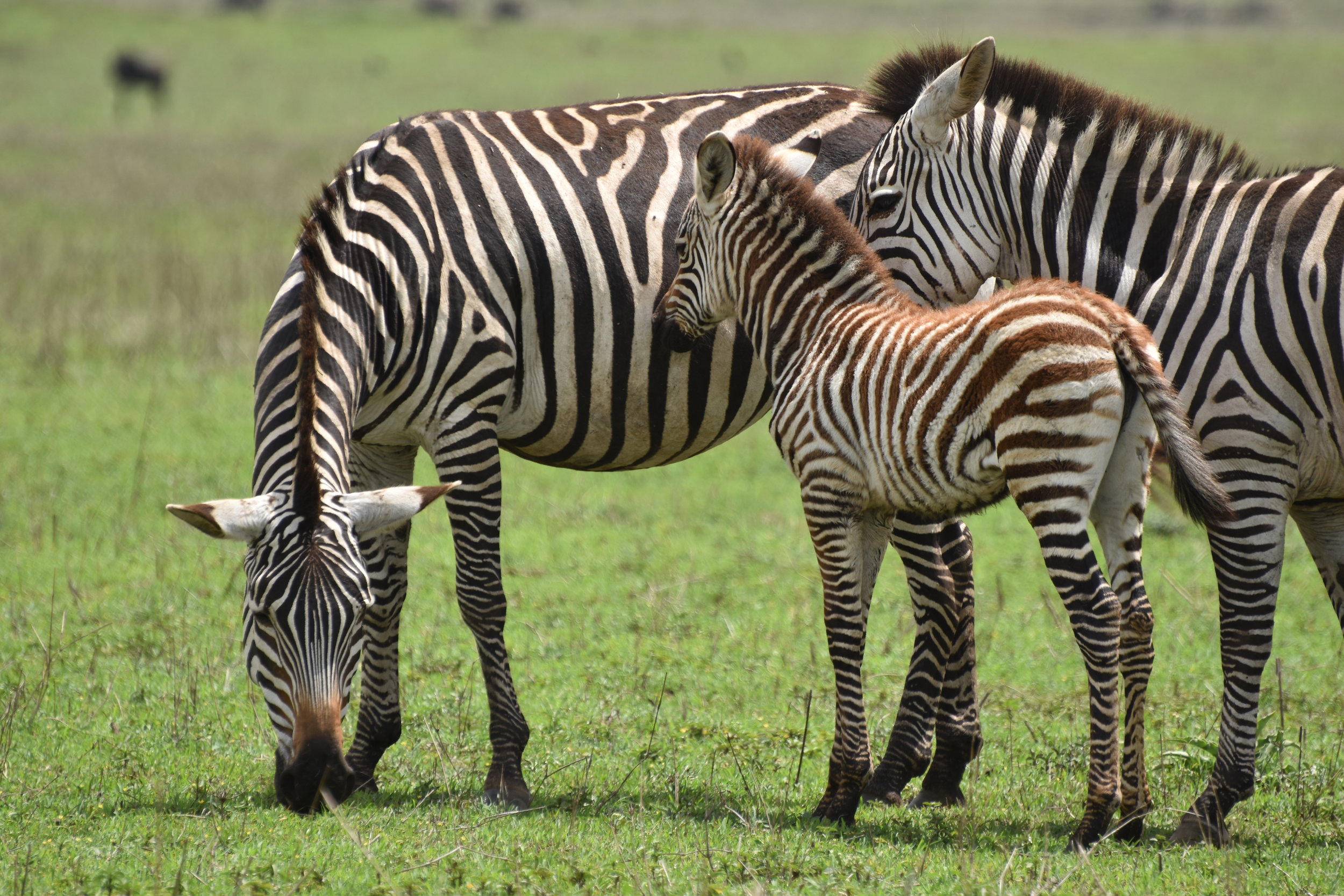
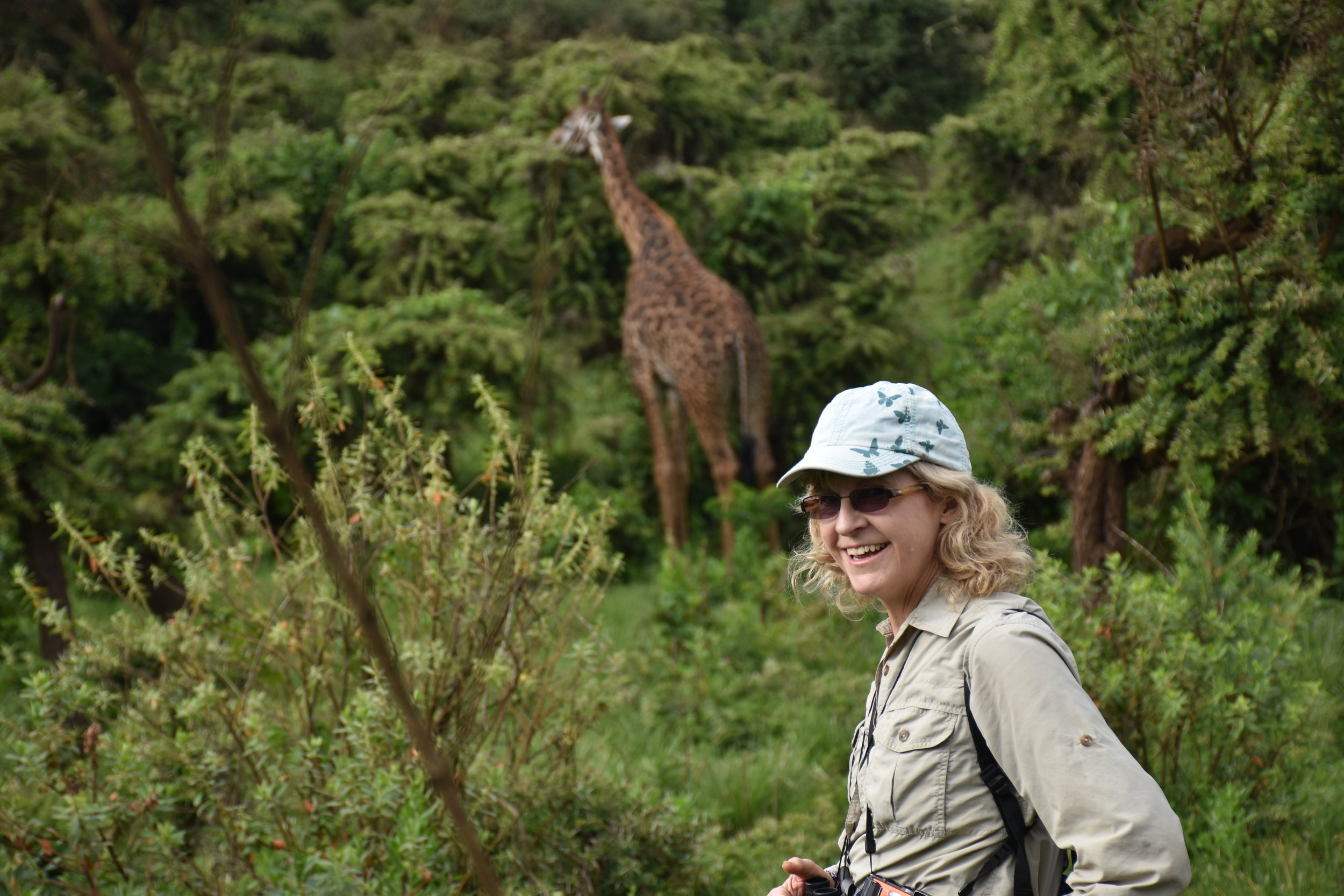
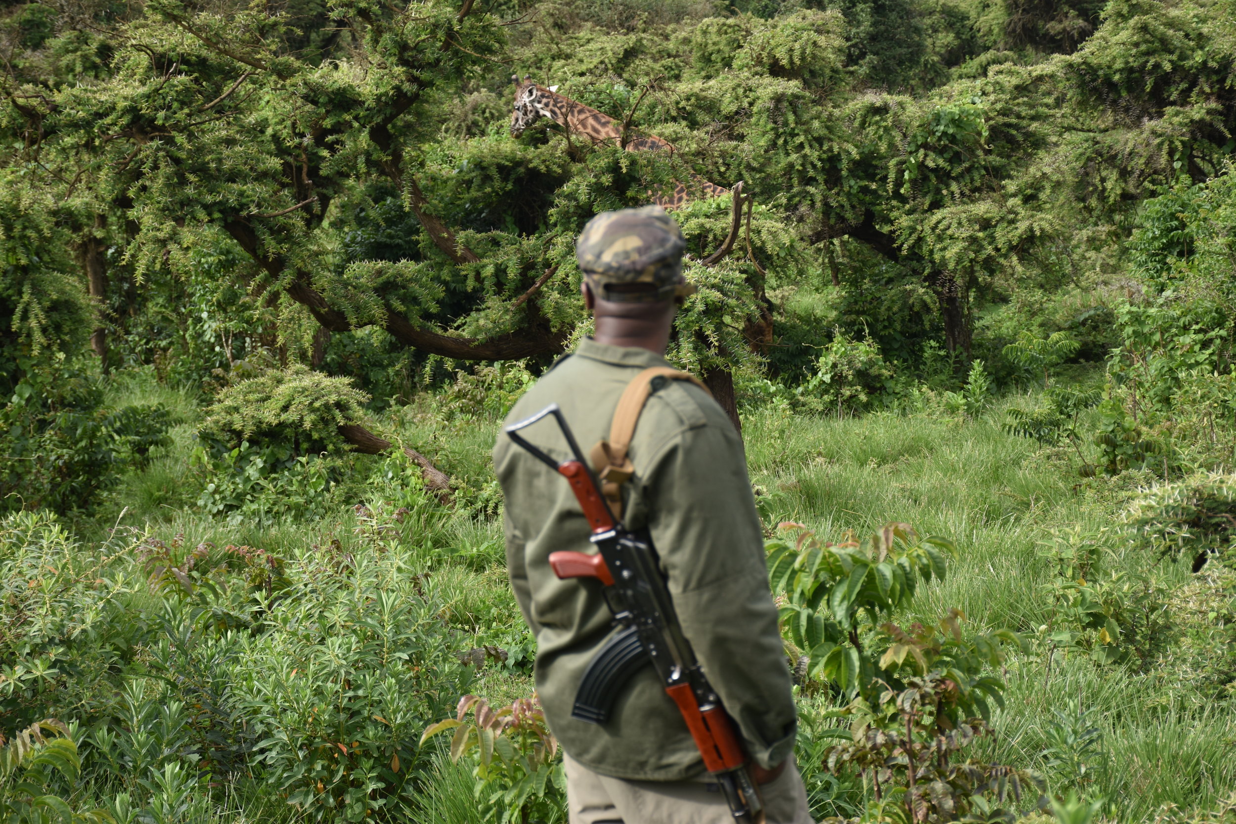
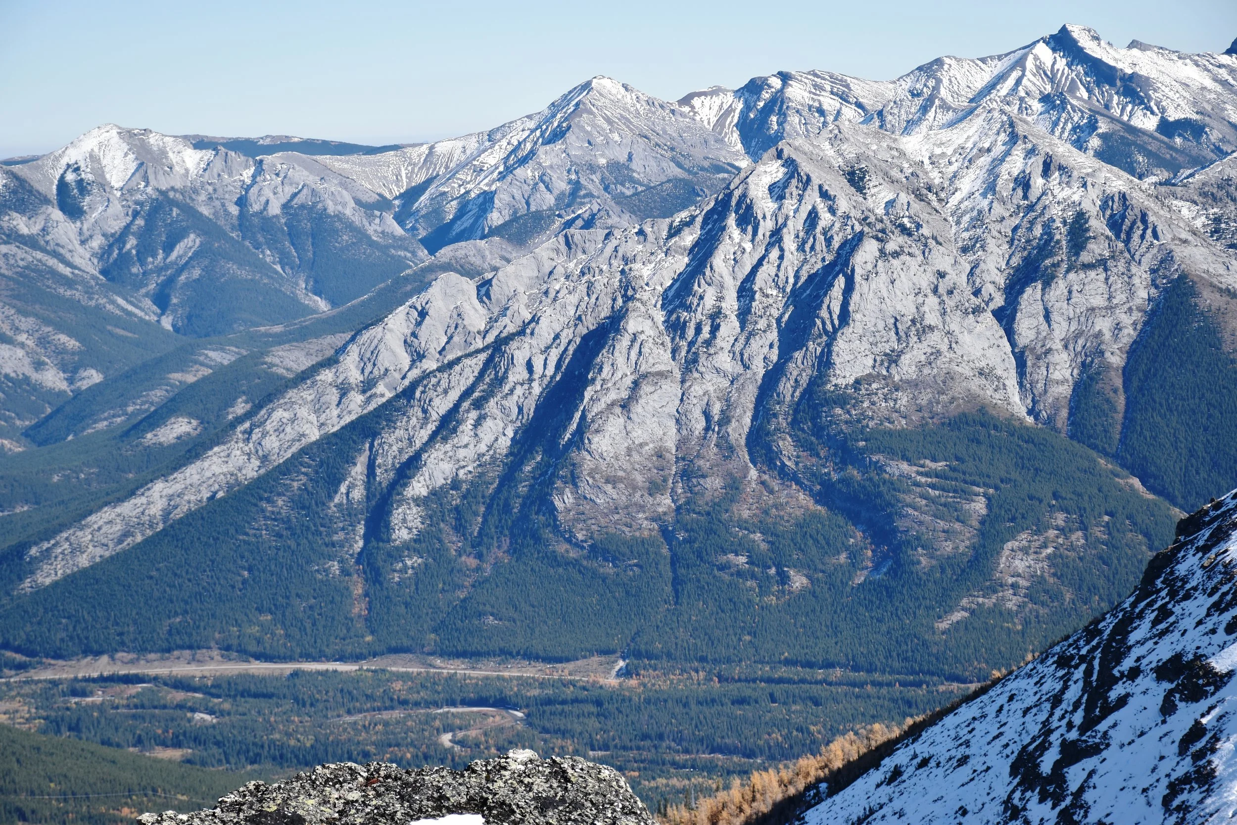
The safari drive to the parks mentioned above is very long (8-10 hour drive). But, our accommodations were awesome, and the wildlife was incredible. The wildebeest migration was in full swing - perhaps giving us an idea of the bison on the Canadian/American plains before they were wiped out. With these beast are zebras, hyenas, leopards, cheetas, and a variety of other creatures. What a place!

South Centennial Trail to Mt Allan

nearing the peak....

nearing the peak....

Oct 5, 2017

The Centennial Trail is a classic ridge walk, created by the Calgary Rocky Mountain Ramblers in 1966 for Canada's 100th birthday. It's easily accessed (35 minutes from Grandview Chalet B&B in Canmore, AB), and wastes little time before taking you to tremendous views. Within 20 minutes, you're out of the trees and into the blue (weather depending). On this early October day, there was almost no breeze (unusual!), but there was snow from a weather event days before.

To reach the peak of Mt Allan is 7.8 km and 4450 ft (1356m) up a mainly steep hike, with brief intervals of easy scrambling. The trailhead is at Ribbon Creek near Kananaskis Village. Poles are highly recommended when there is snow on the route! The total return trip length was 7.5 hours, including relaxing stops in the sun along the way, and a pleasant rest at the peak. This route is closed in the spring for big horn sheep lambing (until June 1), evidenced by the myriad of game paths over the grassy windward slopes.

About 2 hours up, you pass by a few weather stations (Nakiska Ridgetop) overlooking the Nakiska ski area below. Shortly thereafter, you go over a false peak, and drop for a while before climbing into the "dragon's back" teeth, which is the coolest part of the hike. Here, Mesozoic chert conglomerate pinnacles up to 20m high line up along the ridge, being considerably more resistant to erosion than the surrounding shales. Chert cobbles are all over the place.

The view from the top is spectacular! Included in that are the four peaks of Lougheed, Mt Bogart, Mt Kidd, the Kananaskis valley, and the continuation of the Centennial Trail to Pigeon Mtn near the TransCanada Highway. For those wanting to do the entire Centennial Trail: I hope your boots feel good! We went back the same way...

Lake O'Hara, Yoho National Park in the fall

IMG_5774.JPG

Sometimes, you just get lucky. Getting into Lake O'Hara is not the easiest affair, but it is usually worth it. Especially in late September when the larch trees have turned golden, and it happens to be a calm, bluebird day. A few of us booked campsites in this amazing gem of Yoho National Park in late September.

Days previous, snow blanketed the area, but it warmed enough to melt it away from lower elevations - such that we were able to hike the Lake O'Hara Alpine Circuit (11.8 km) that reaches a maximum elevation of 8300 ft (2530m). It goes up and down three distinct climbs that traverse cool ledges, small waterfalls, and amazing views of many lakes. Add the larch colours, glaciers, and spectacular 500 million year old Cambrian rock, and you have one of the most iconic walkabouts in the Canadian Rockies. 

Kudos to Lawrence Grassi and others who created this hike - the efforts put into the rock work along the way are a showcase as to how trails should be created and maintained! 

Access to Lake O'Hara is restricted. It makes for somewhat of a painful process to book yourself on a day hike (or camp) months in advance, so that you get access to the bus up the 11 km road from the TransCanada highway. Or, you can book into the Alpine Club of Canada hut, or the Lodge at Lake O'Hara ($$$S), which will give you access to the bus. Or, walk up the road - and back down, which would not likely allow you time for this hike. But, there are many other shorter hikes to the myriad of lakes and vistas in the area.