Sure seems like summer!

May was spent holidaying in the US west. I hope to post a short video on a raft trip I did with the boys on the upper Grand Canyon. The rest of the time (with Carol) was in Napa (road biking, wine tasting, hiking, and kayaking), San Fran and then 101 highway through to Washington. Beautiful!

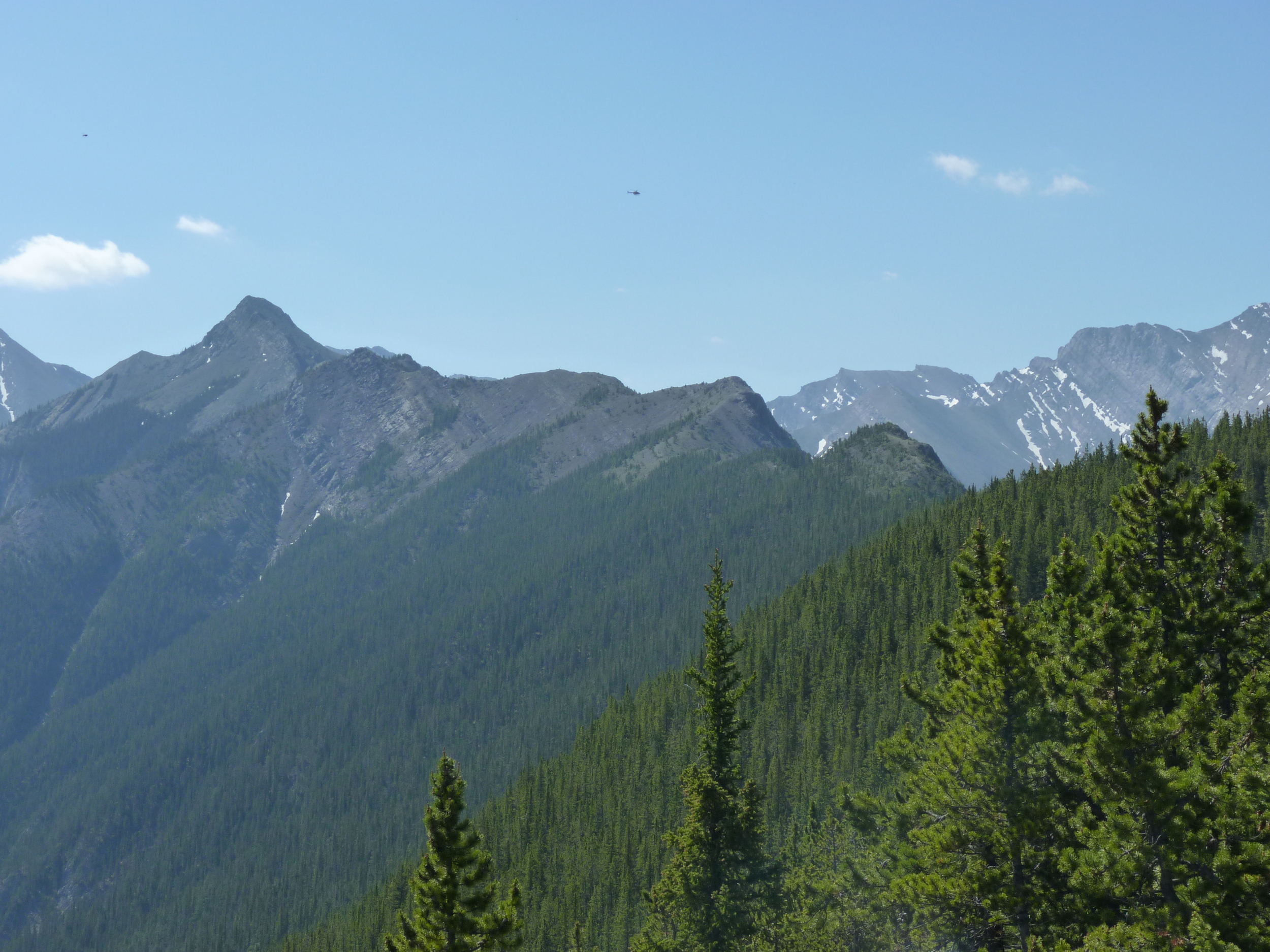
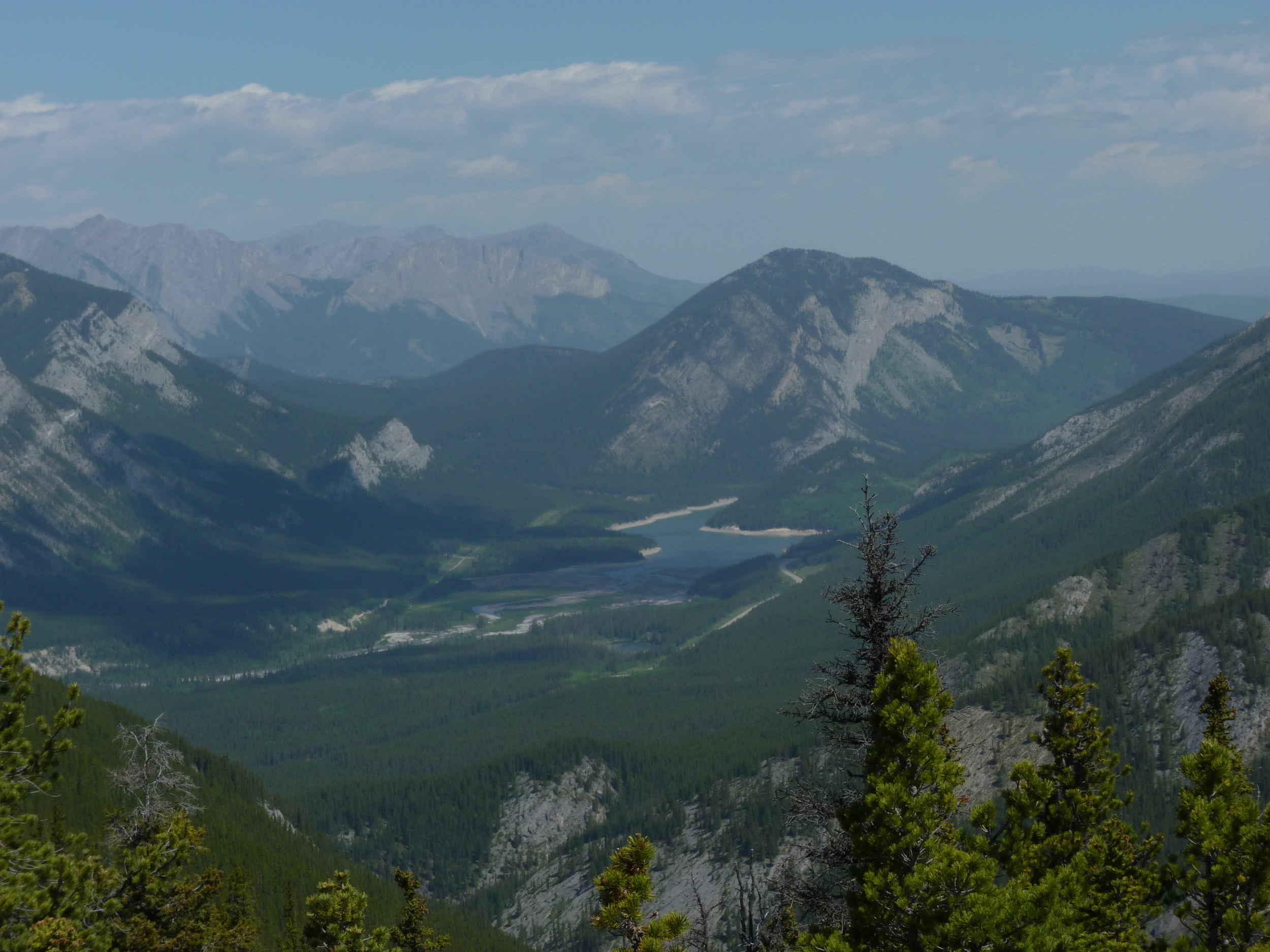
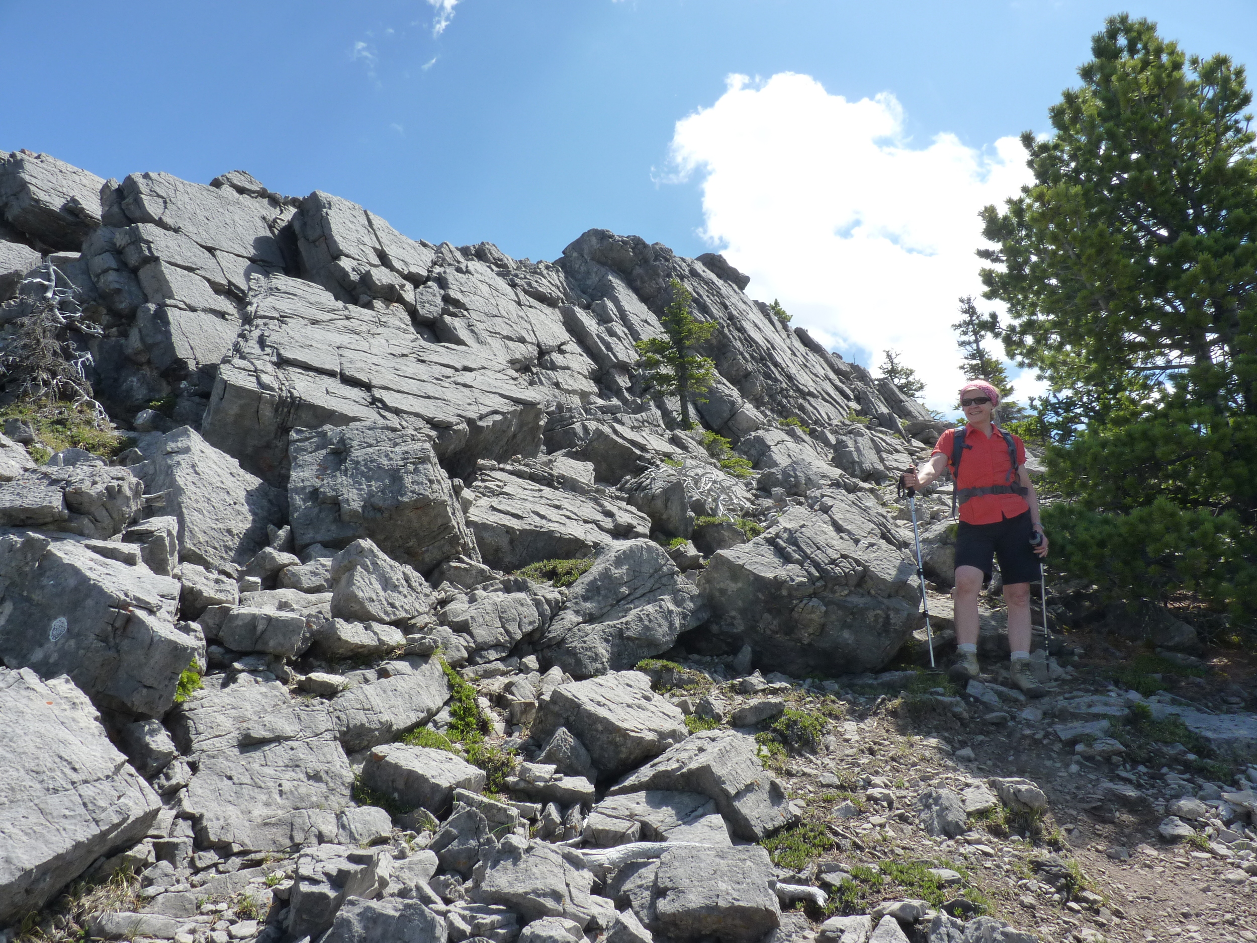
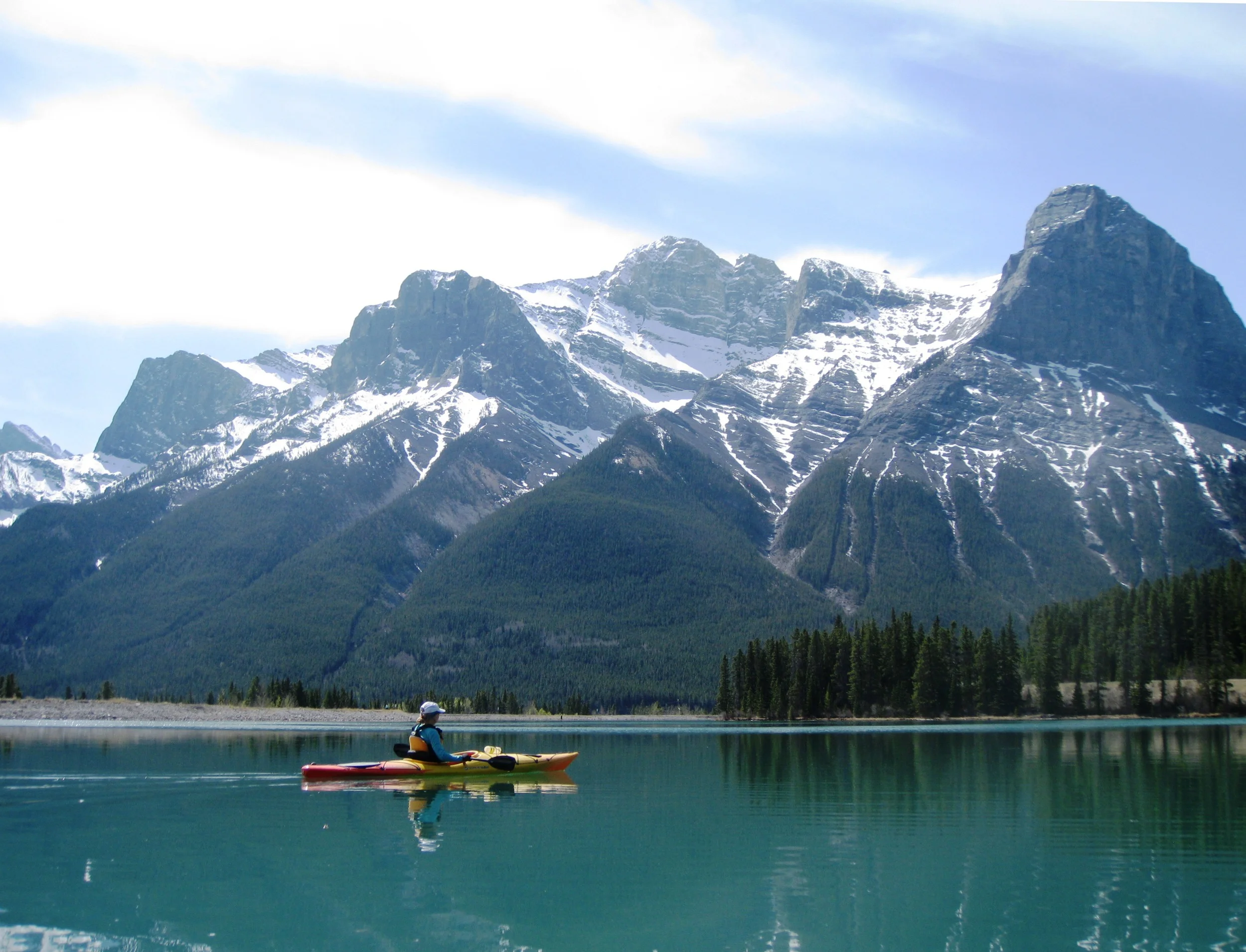
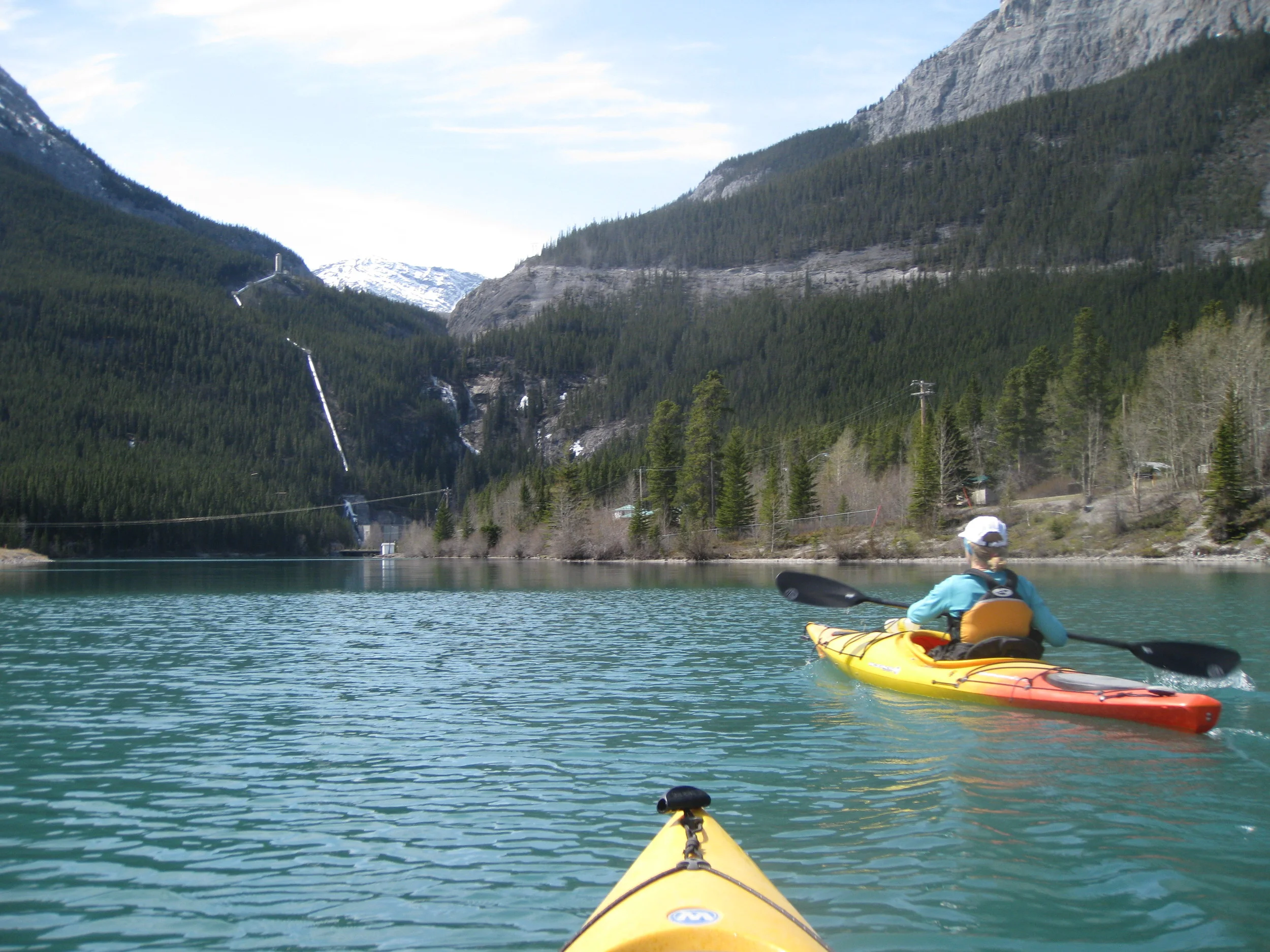
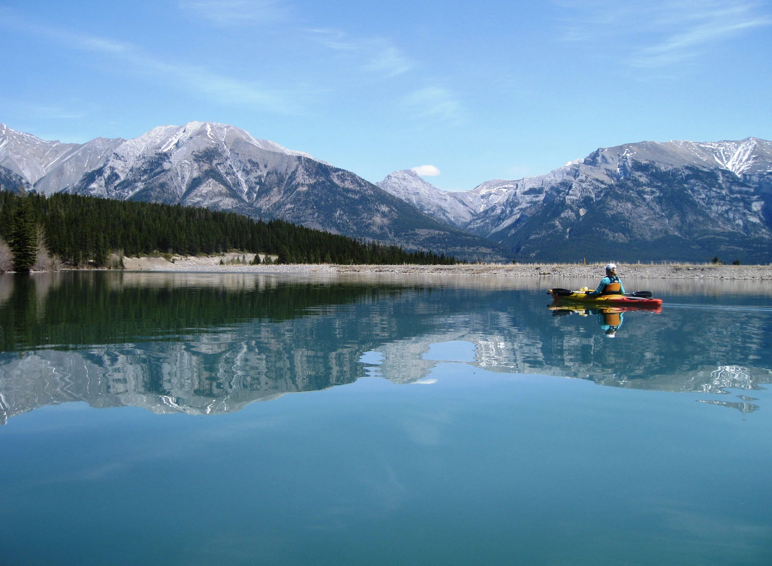
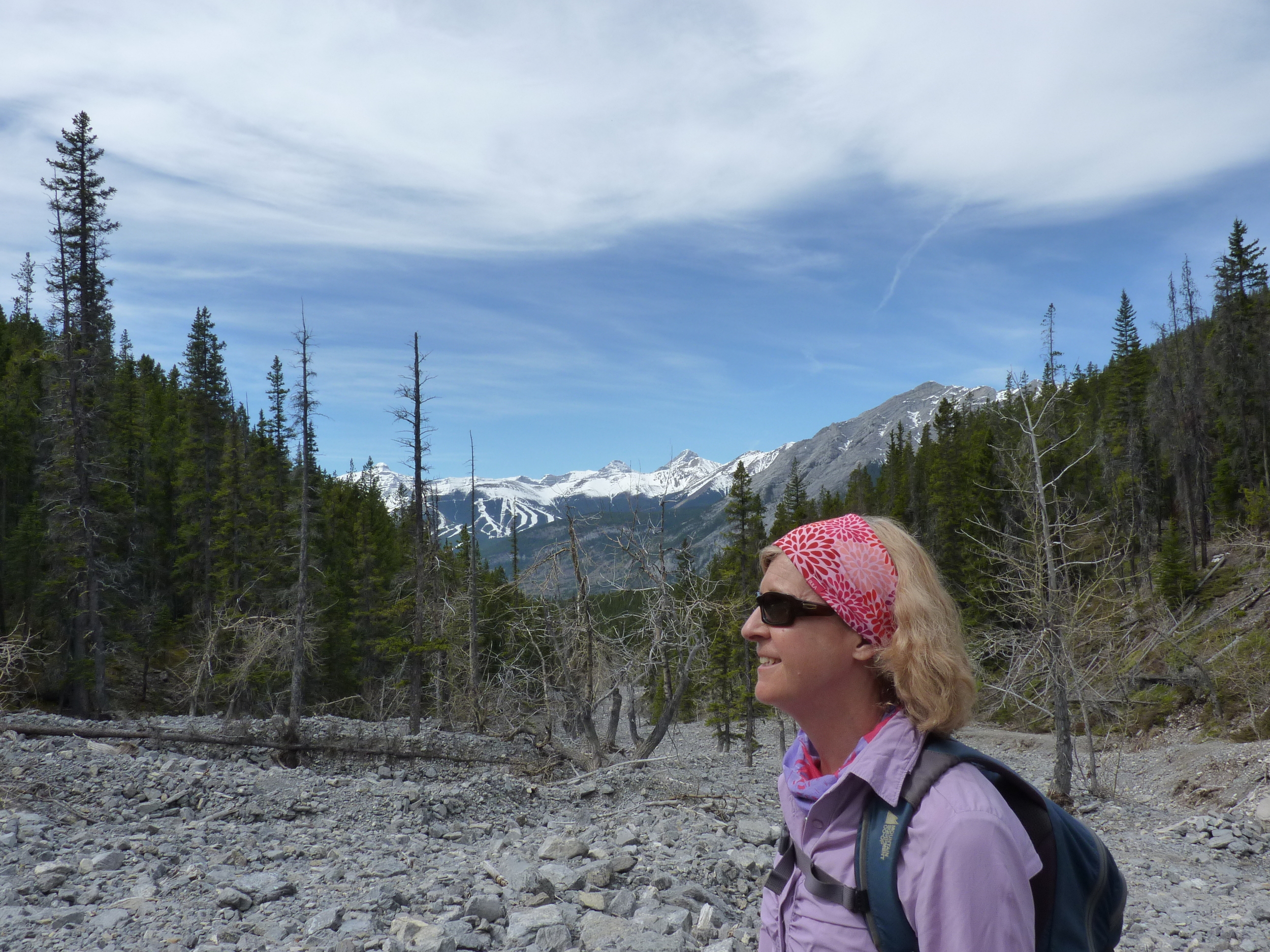
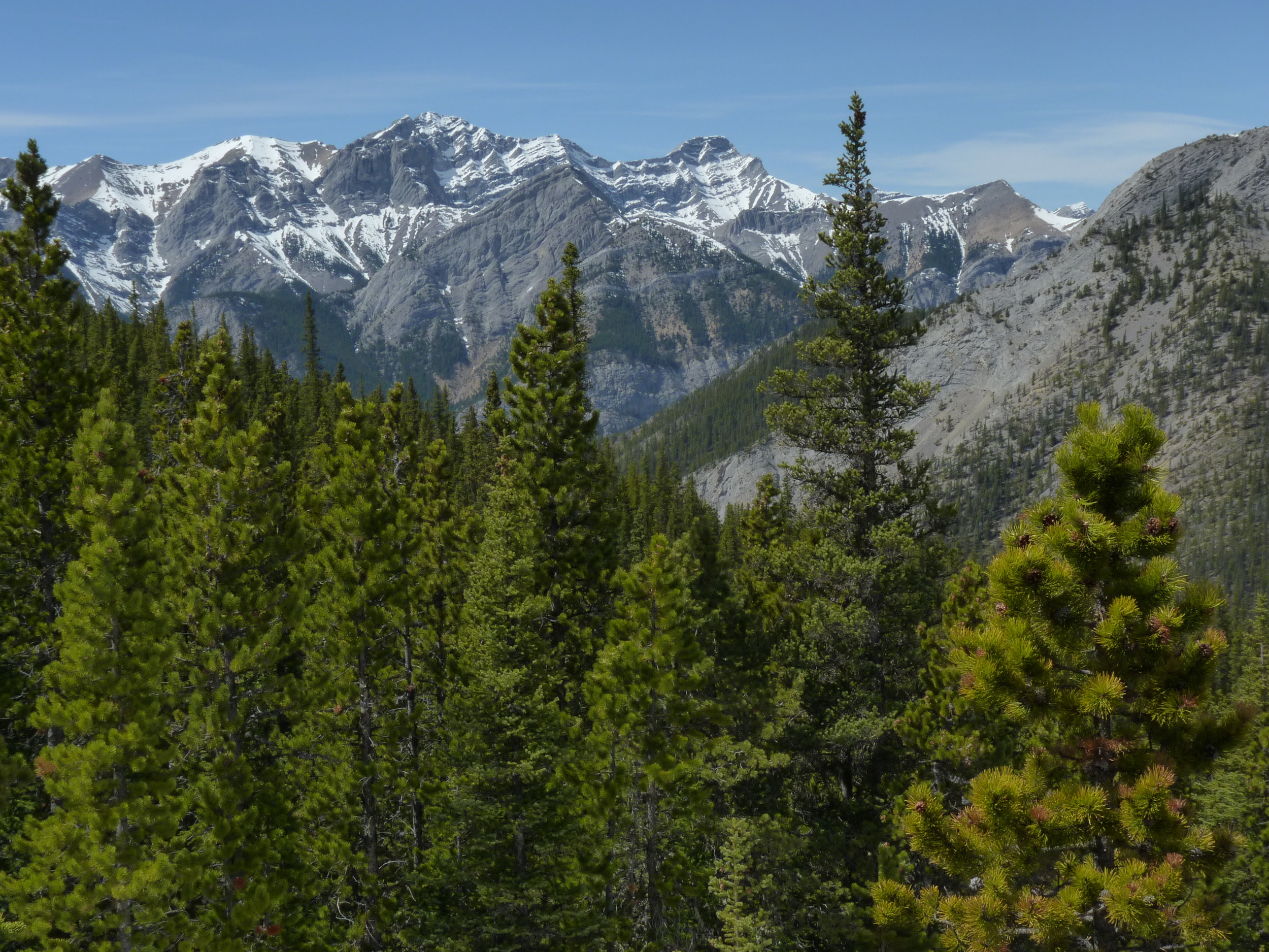
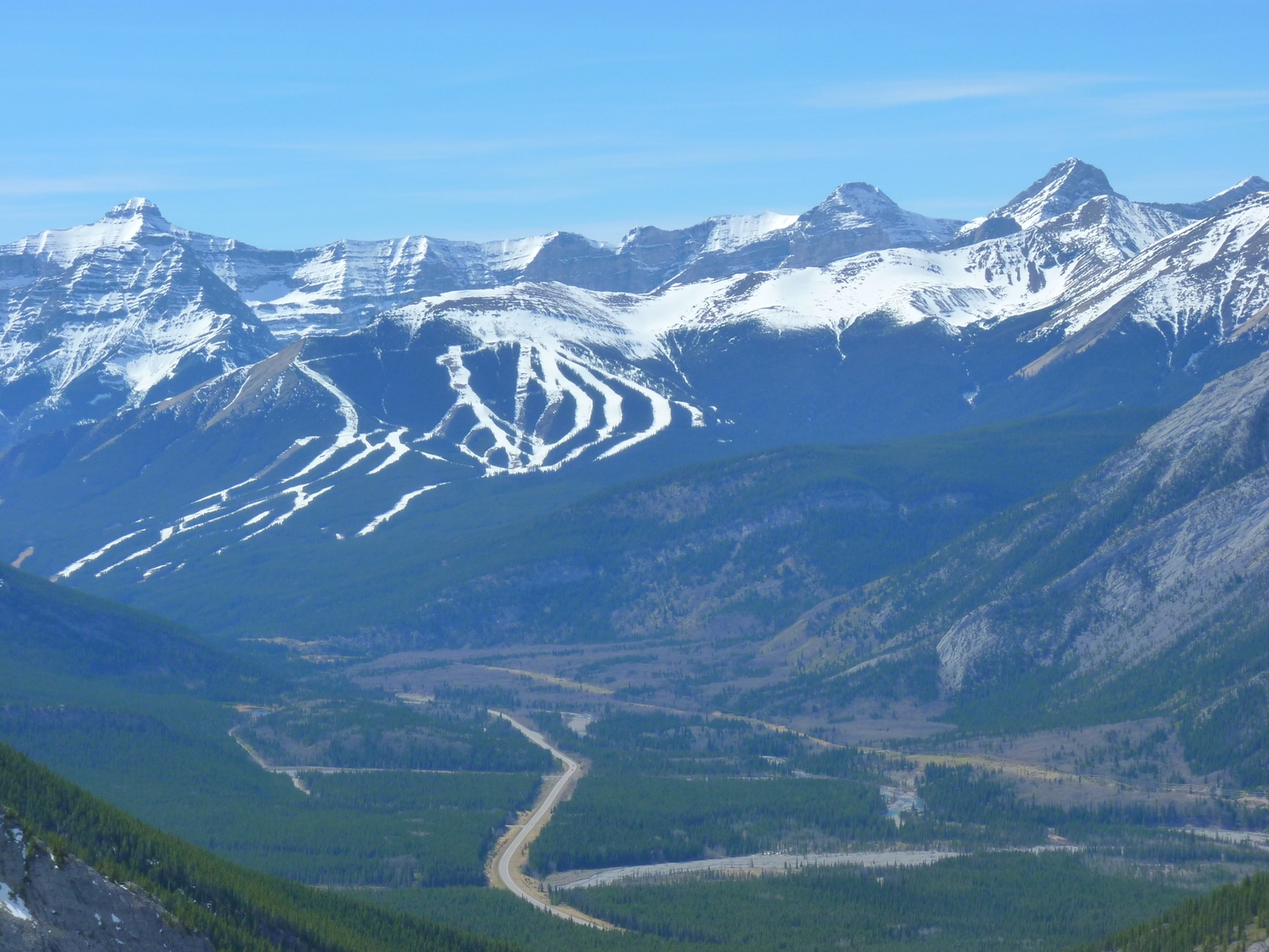
Back in Alberta: After a couple of kayak paddles on the Kananaskis and Elbow Rivers with some friends on fairly high water, Carol and I went on a hike to Wasootch Ridge off the Kananaskis highway, about a 35 minute drive from Grandview Chalet B&B in Canmore. The high was 23C, and it was calm and sunny. Can't do better than that!

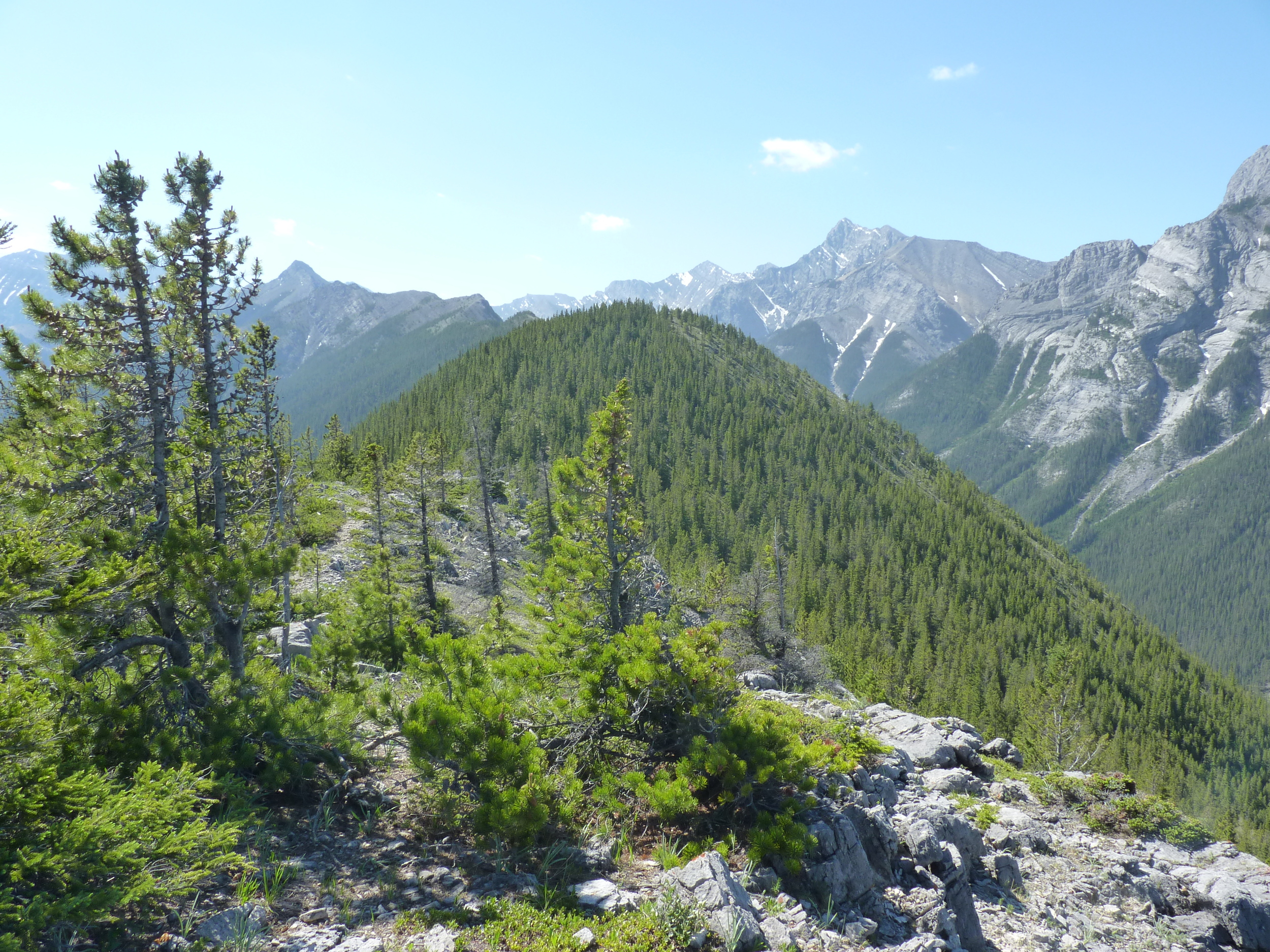
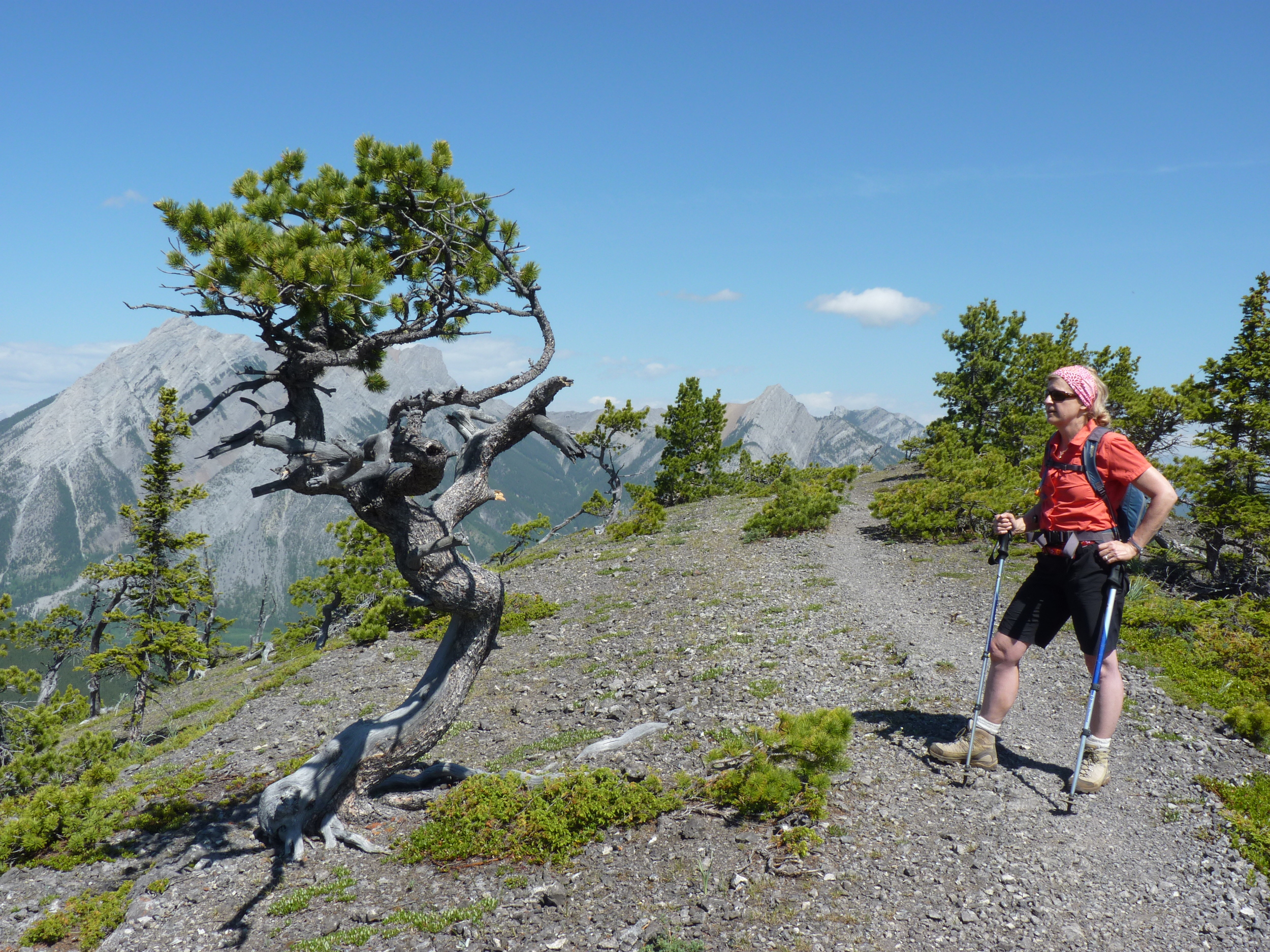
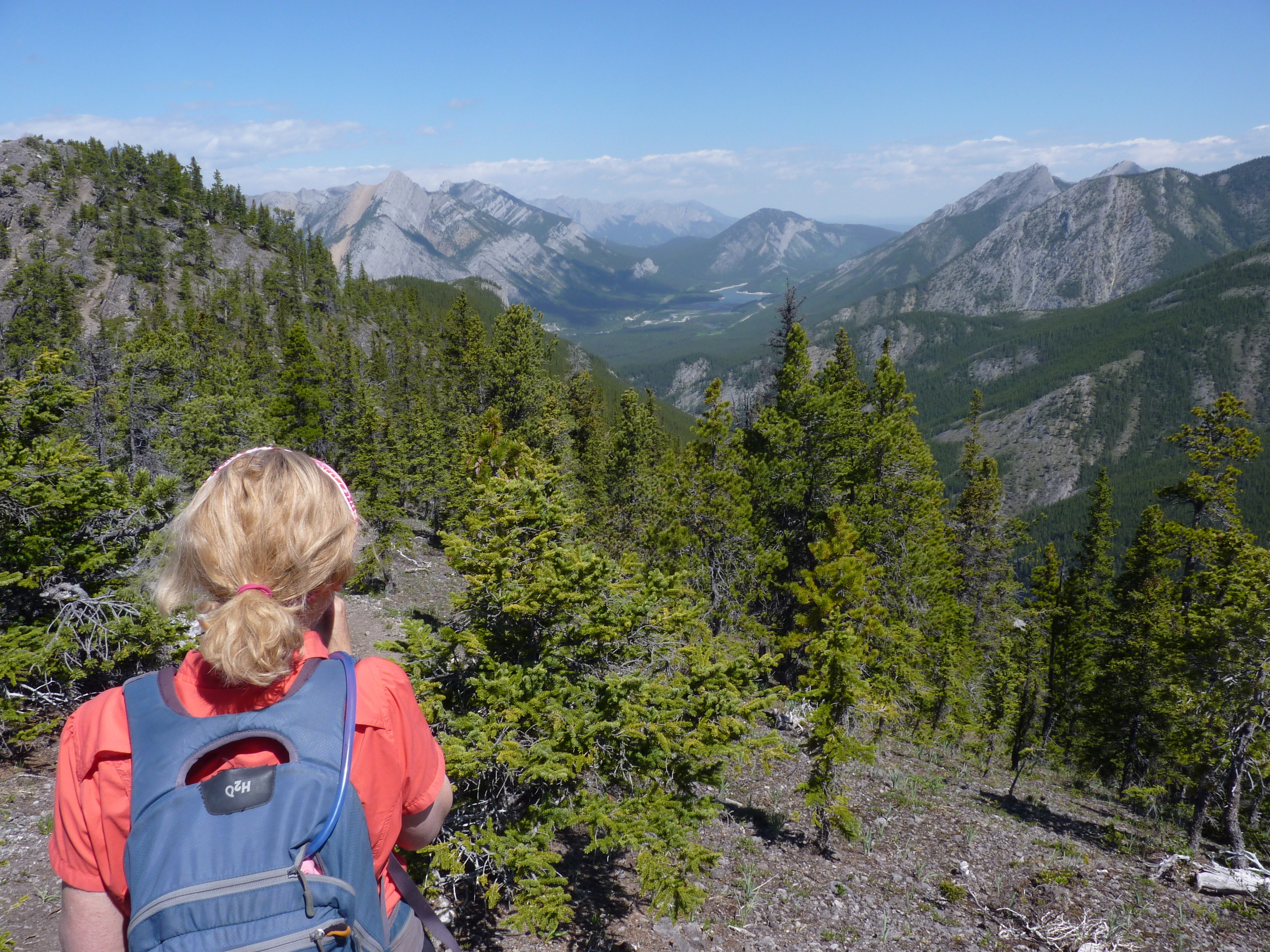
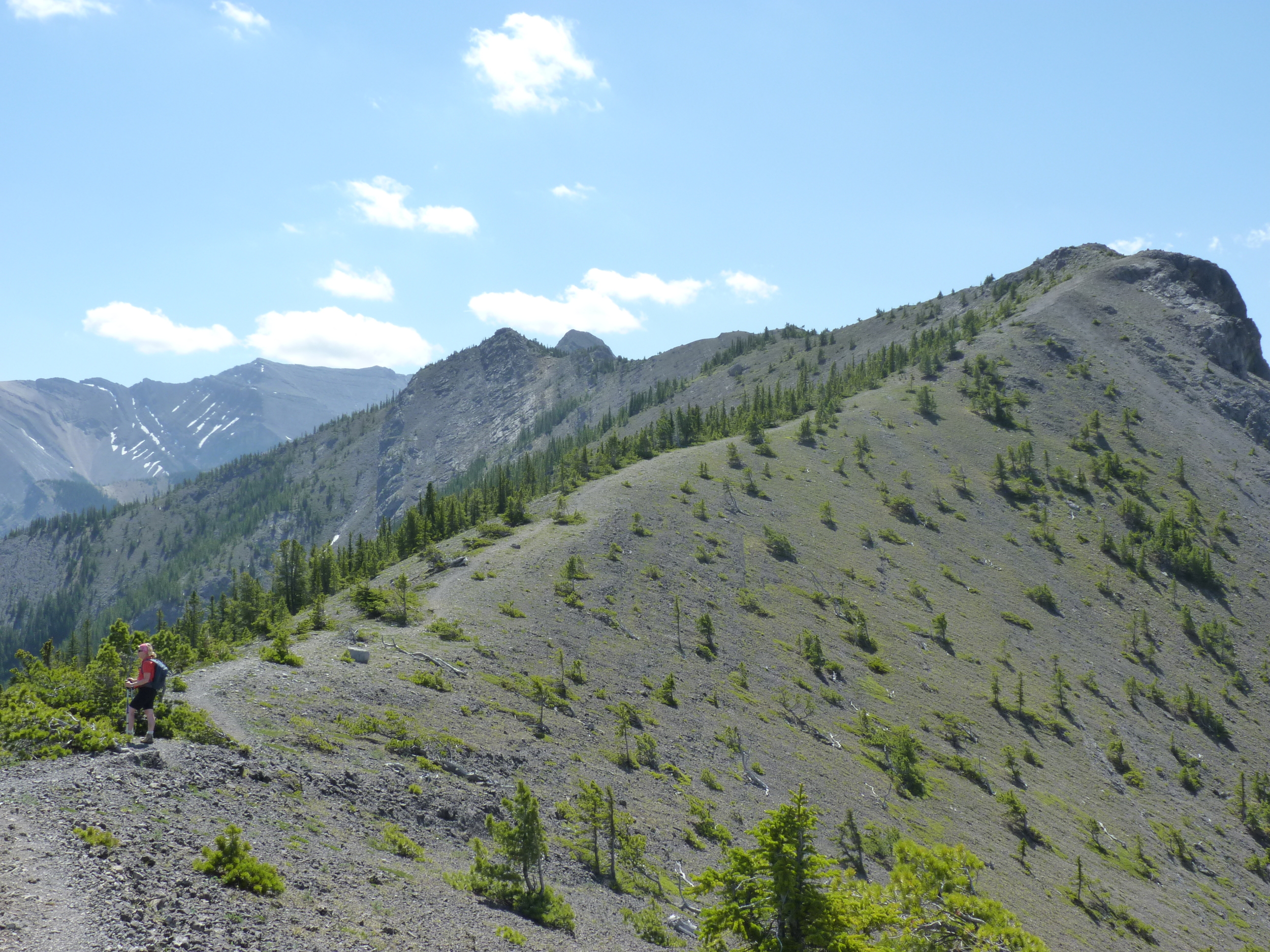
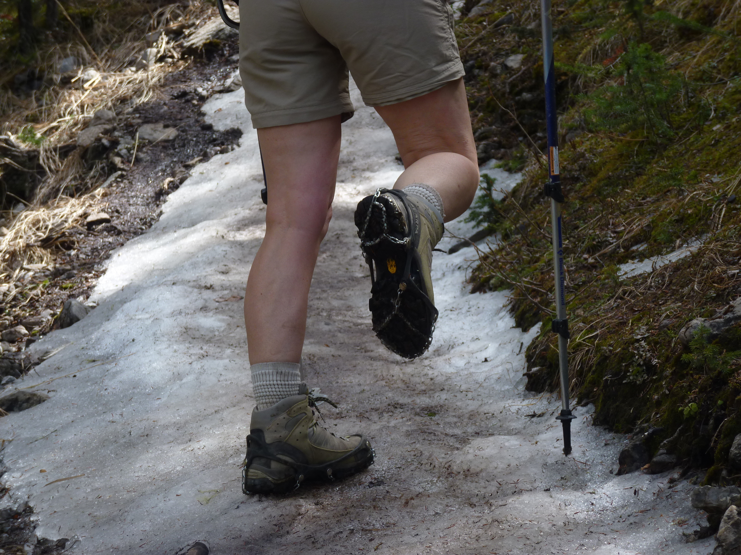
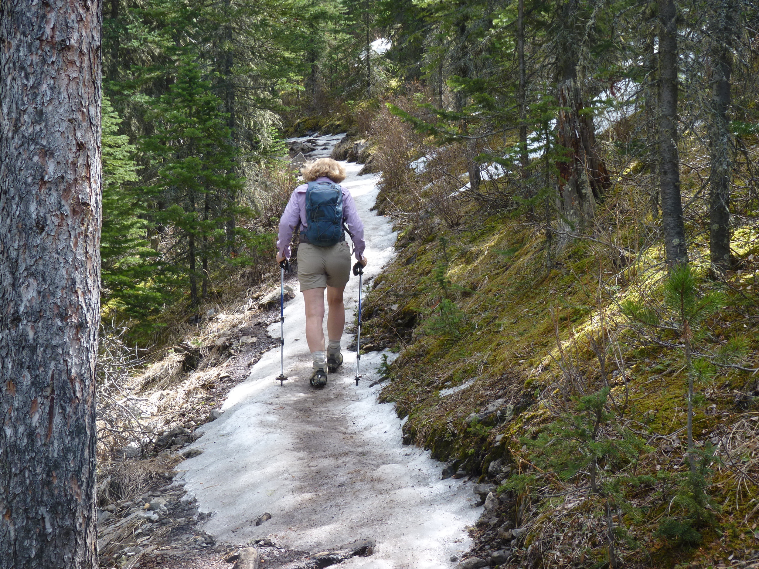
The 6.9 km hike (if you make the summit) gains 3200' (975m). An unmarked trail starts out of the Wasootch Creek parking lot, and immediately climbs a very steep trail before following the ups and a few downs along an impressive ridge. Views are great on both sides, dropping steeply into respective creek drainages. Wasootch Creek nicely displays what the 2013 flood did with alluvial deposits all along the drainage, down to the Kananaskis River. The limber pines(?) show very cool shapes up high along the ridge, tortured by the winds and snows.

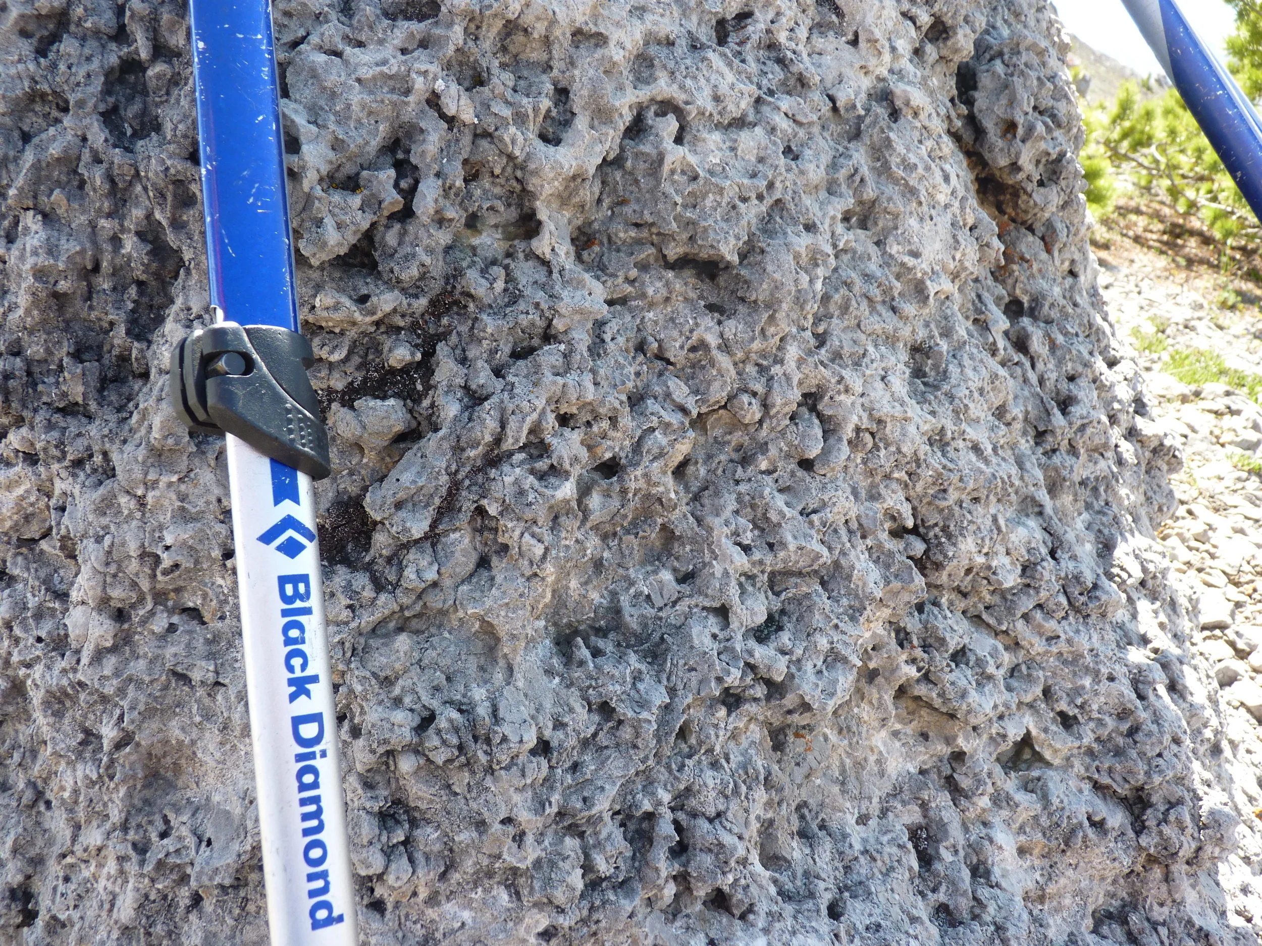
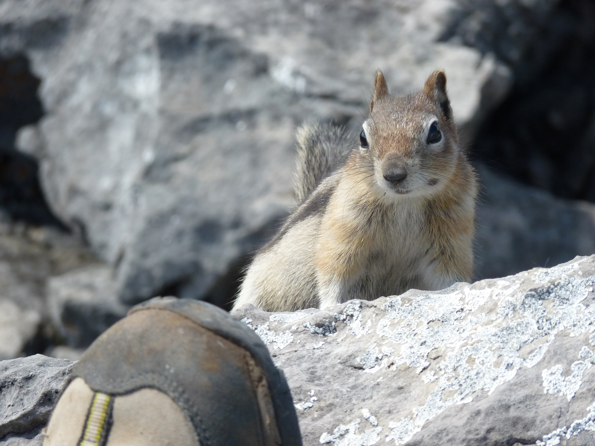
In numerous areas, the Mississippian limestone has branching corals, crinoids, and the odd brachiopod - in some cases actual reefs. The rock along the ridge is nearly vertically thrusted, which makes for a very interesting scramble for those who wish to get to the top. We opted for one of the last nubs before the actual peak for some lunch - shared with a chipmunk.

The weather continues to be excellent in western Canada - but that is about to change to showers, which are likely needed. After the tour through California, rain can be appreciated.

Kayaking again!

Forebay drifting, with Ha Ling and Lawrence Grassi peaks in the background

Forebay drifting, with Ha Ling and Lawrence Grassi peaks in the background

+20C and bluebird skies forecast for May 4! That called for kayaking! Being the first paddle of the year, we put the boats in Canmore's Rundle Forebay, which is an artificial lake that holds water for electrical generation and drinking water. It's only a few minutes away from Grandview Chalet, by the Canmore Nordic Centre. While it may not be entirely natural, it's a great place to paddle - whether in kayaks or on standup paddle boards.

If you hug the shoreline, a circuit of the lake is 5 km's. Wind can come up, but since it's quite narrow, waves aren't usually a problem. At the end of the lake, there is a pipeline that drops from lake storage above, and there is a beautiful waterfall that comes from Grassi Lakes - a great easy hike.

Later that day, we went for a road bike ride to Cascade Ponds on the Legacy Trail.

Lots to do in Canmore!

Take a hike (in April!)

A view of "Midnight Peak" from the North Ridge

A view of "Midnight Peak" from the North Ridge

Tough to decide: A beautiful day was forecast (+22C and bluebird!), so do you go downhill skiing, mountain biking, road biking, kayaking, or hiking? Since winds gusts were forecast, we elected to do some early season hiking in KCountry (Kananaskis). A short 35 minute drive from Canmore, Baldy Pass (from the south) is not a bad choice. The hike is only 4 km to the col, but it does gain 487m (1600 feet). It offers great views of the Nakiska ski area (on Mt Allen) across the valley, and from the top you can see the great peaks of Lougheed behind Mt Allen. Note that we originally intended to hike the fantastic Centennial Trail on Mt Allen, but found it closed for lambing until late June.

The Baldy Trail was "modified" by the Great Flood event of 2013. Being in a narrow draw, there are various scree slopes dropping onto the trail that provided plenty of alluvial debris to be moved along by the immense precipitation that fell in those rainy days in late June. Much of the lower portion of the trail was buried, but is slowly getting turned back into a walkable route. Further up, the trail is intact, but was still iced in. We met a group of elderly hikers from a Cochrane hiking club that had poles, but not "icers". We happened to bring a couple of sets, and they were invaluable for a few hundred meters (up and down). I've attached a picture below for those that are not familiar with these light weight pseudo crampons.

Once at the col, we ventured up to the south (towards Midnight Peak) for a bit, until we encountered a bit too much isothermic snow for our liking. We had some lunch, and then descended down to the col, and then up the north ridge. At that point, we were into the winds! The gusts were likely in the 80 kph range, and they pushed you around a bit too much to want to get on to narrow exposed ridges. Thus we sat, took in the view, and then headed back down.

A nice little hike to get the quads in working order for the coming hiking season!