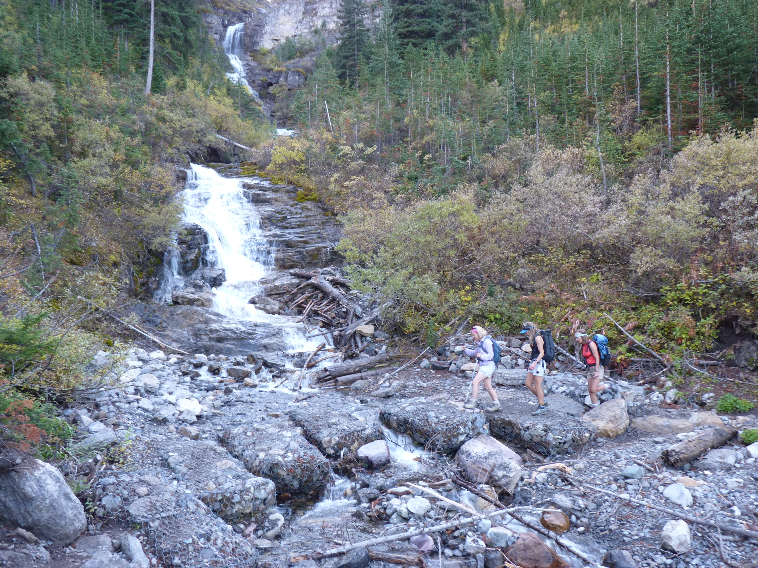
South Centennial Trail to Mt Allan

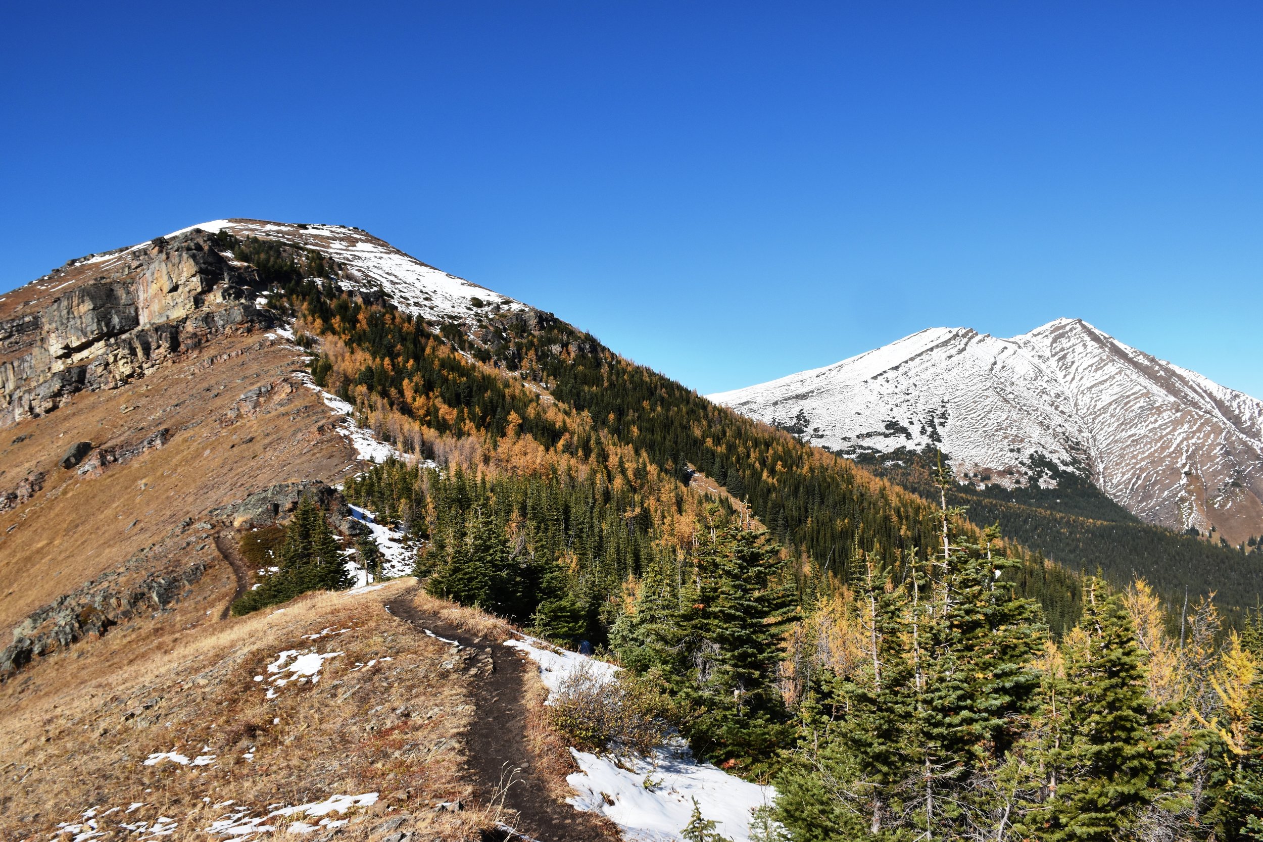
nearing the peak....

nearing the peak....

Oct 5, 2017

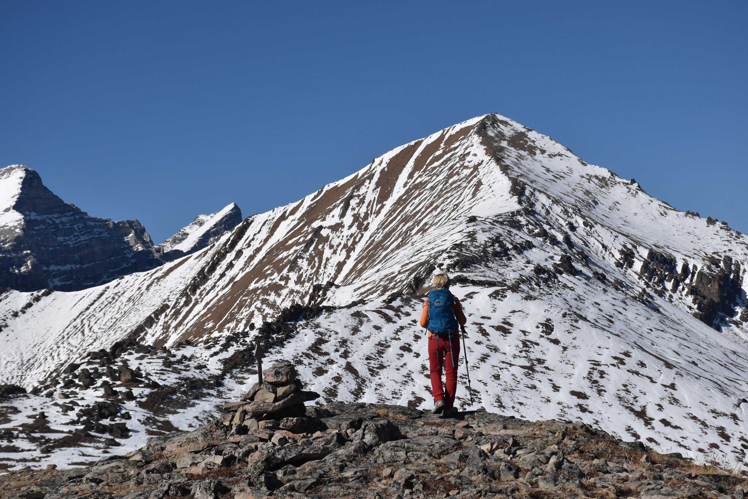
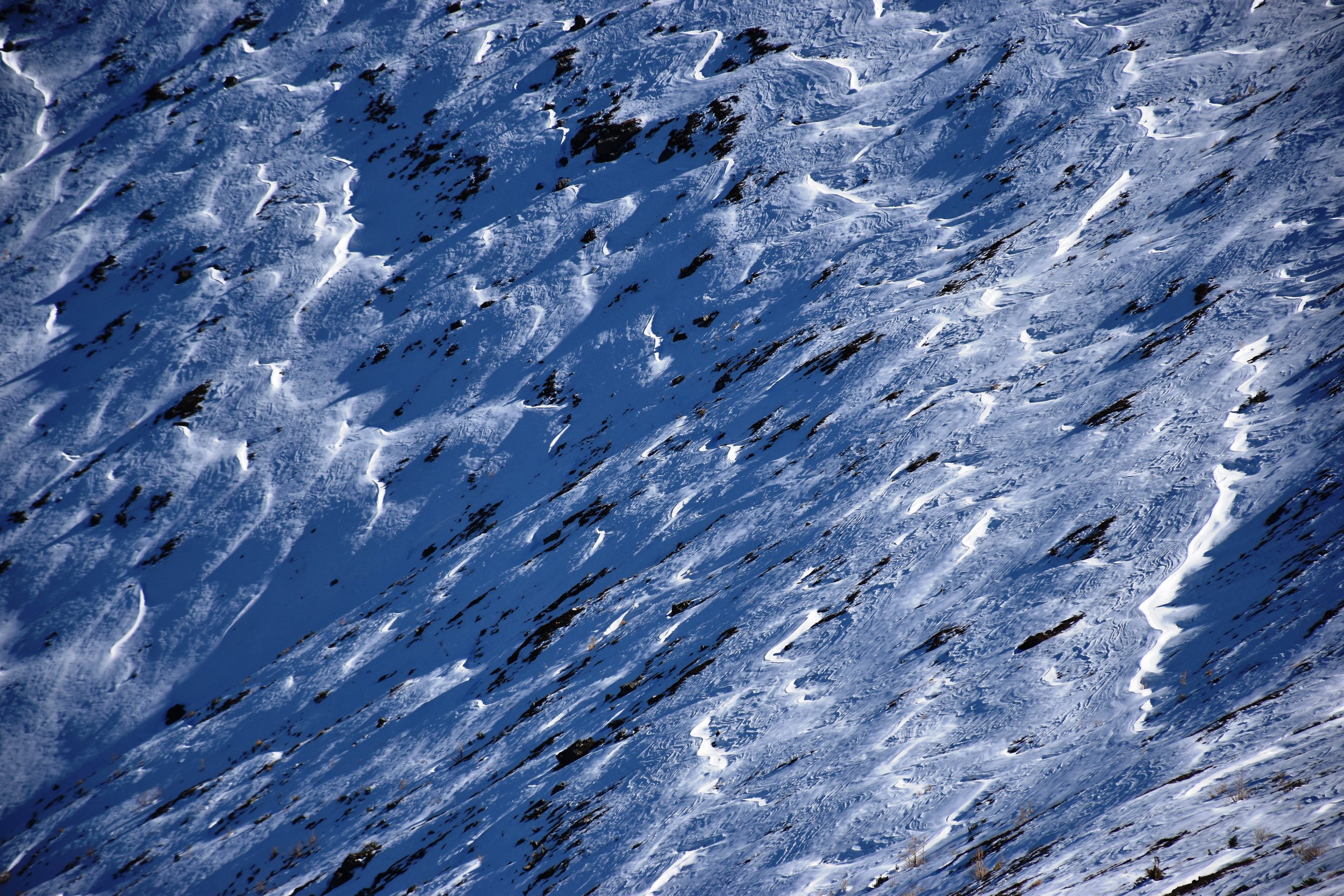
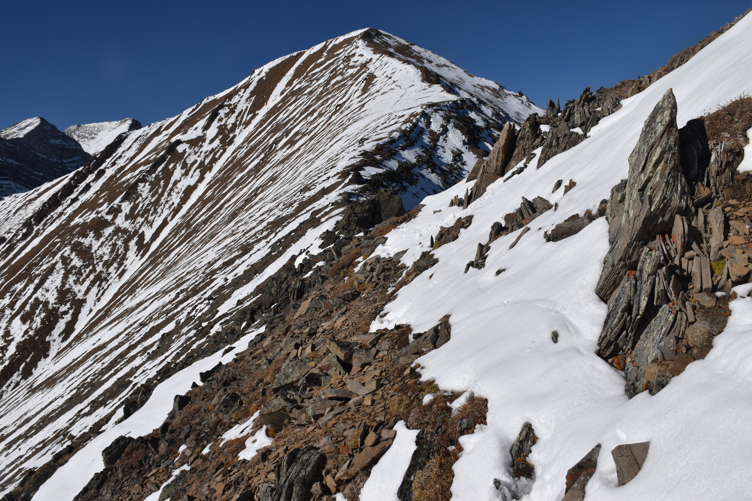
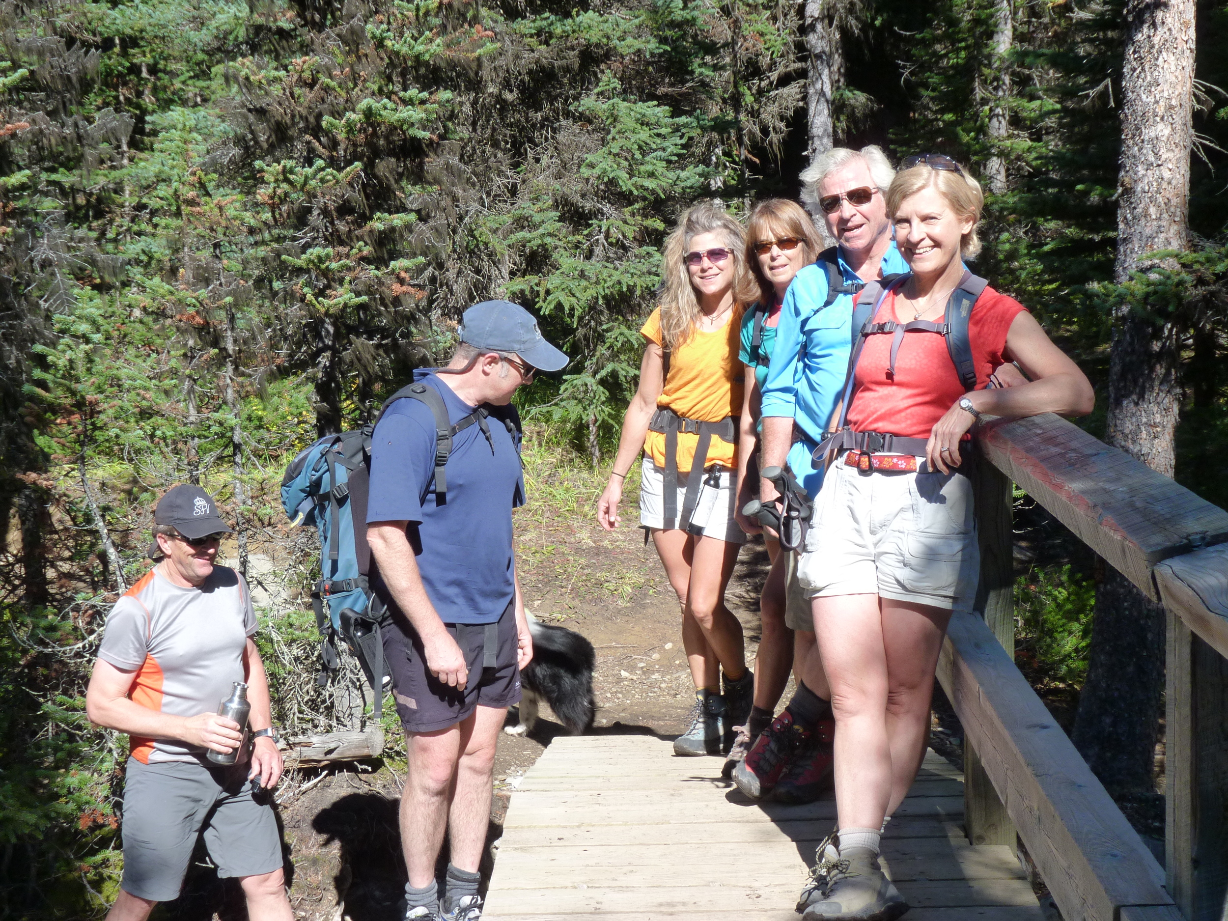
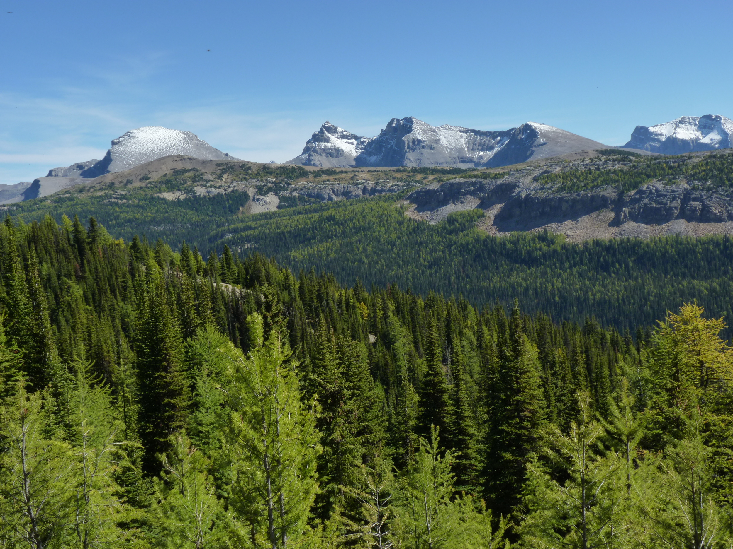
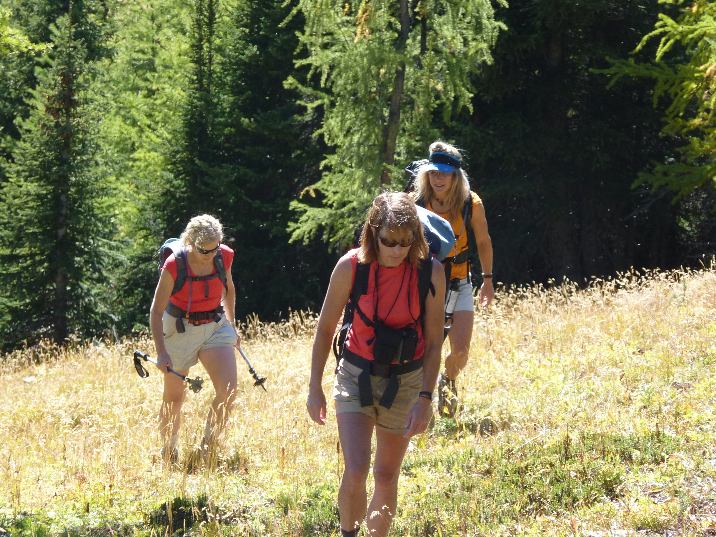
The Centennial Trail is a classic ridge walk, created by the Calgary Rocky Mountain Ramblers in 1966 for Canada's 100th birthday. It's easily accessed (35 minutes from Grandview Chalet B&B in Canmore, AB), and wastes little time before taking you to tremendous views. Within 20 minutes, you're out of the trees and into the blue (weather depending). On this early October day, there was almost no breeze (unusual!), but there was snow from a weather event days before.

To reach the peak of Mt Allan is 7.8 km and 4450 ft (1356m) up a mainly steep hike, with brief intervals of easy scrambling. The trailhead is at Ribbon Creek near Kananaskis Village. Poles are highly recommended when there is snow on the route! The total return trip length was 7.5 hours, including relaxing stops in the sun along the way, and a pleasant rest at the peak. This route is closed in the spring for big horn sheep lambing (until June 1), evidenced by the myriad of game paths over the grassy windward slopes.

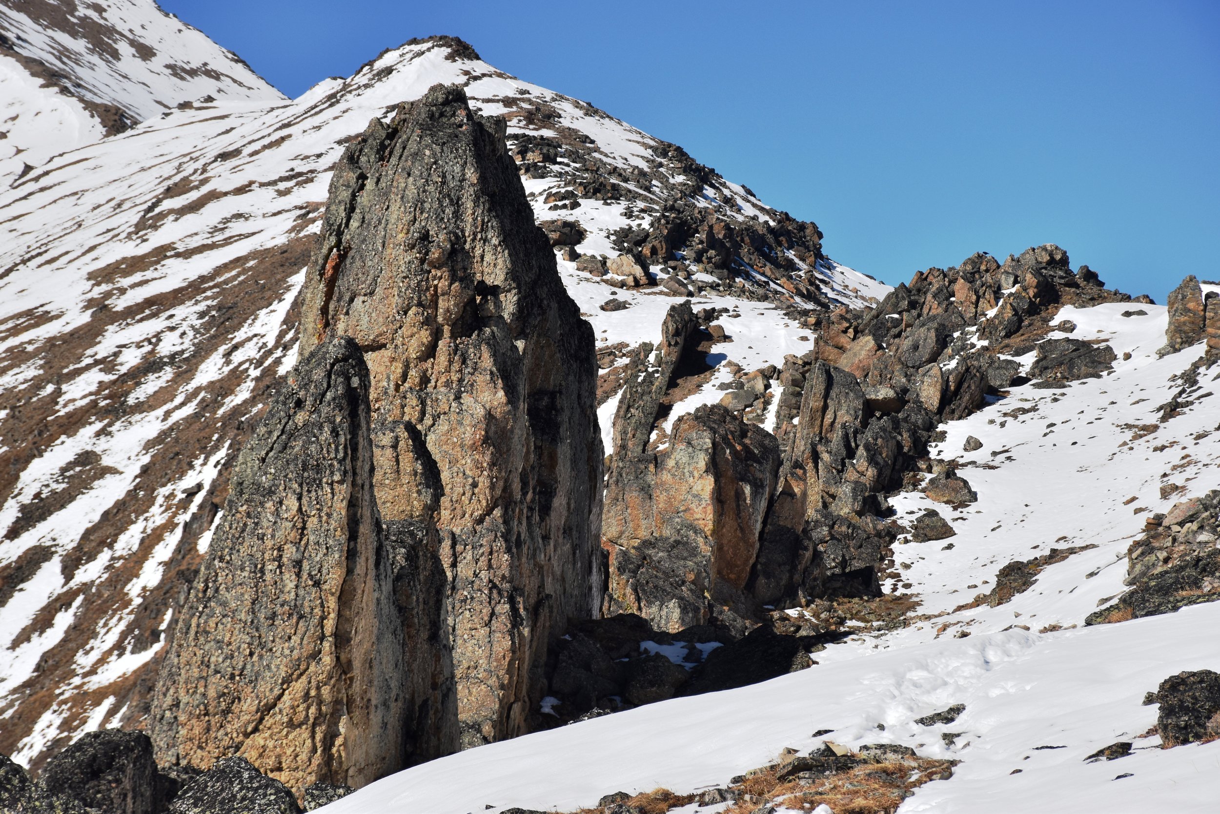
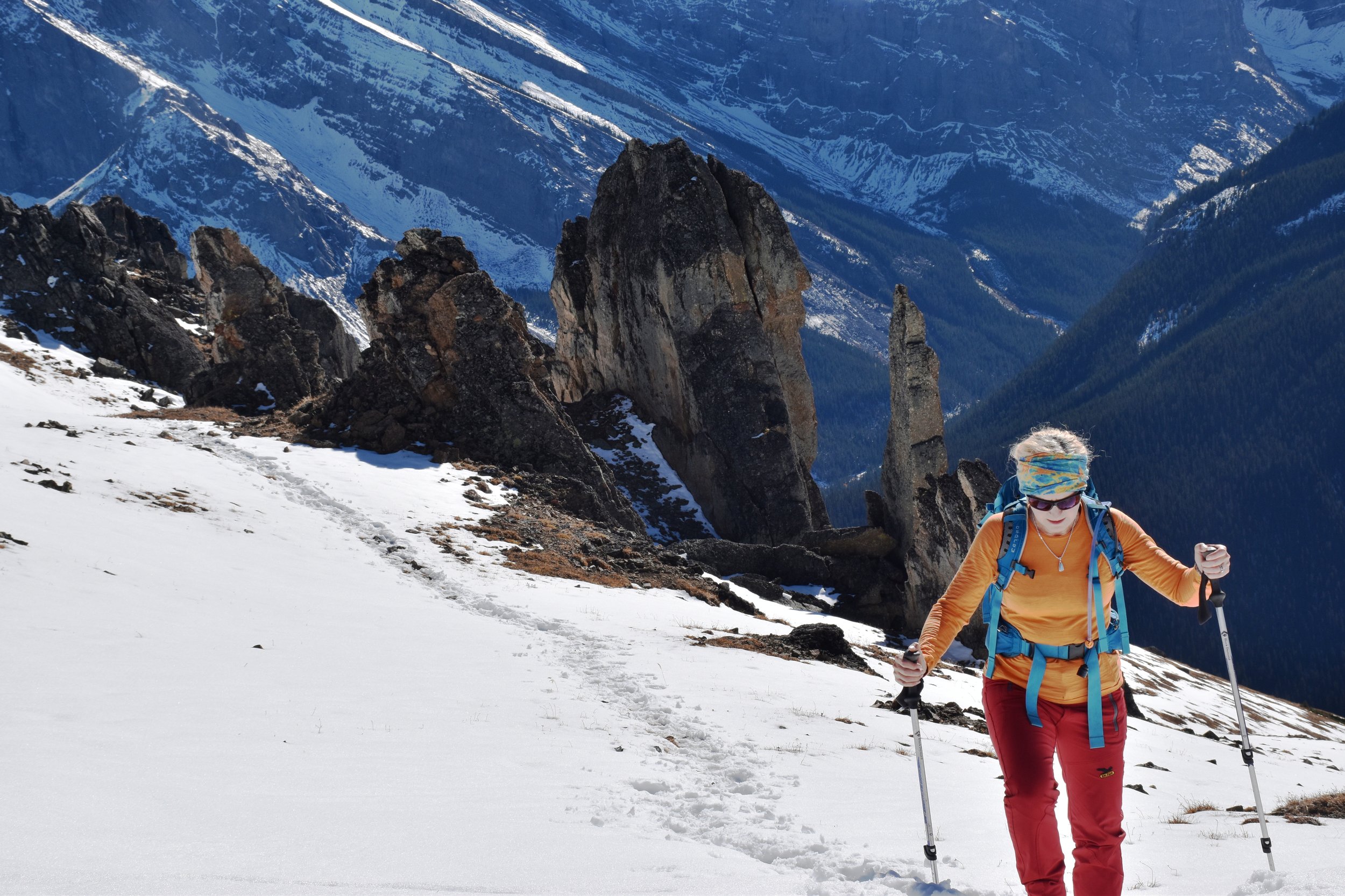
About 2 hours up, you pass by a few weather stations (Nakiska Ridgetop) overlooking the Nakiska ski area below. Shortly thereafter, you go over a false peak, and drop for a while before climbing into the "dragon's back" teeth, which is the coolest part of the hike. Here, Mesozoic chert conglomerate pinnacles up to 20m high line up along the ridge, being considerably more resistant to erosion than the surrounding shales. Chert cobbles are all over the place.

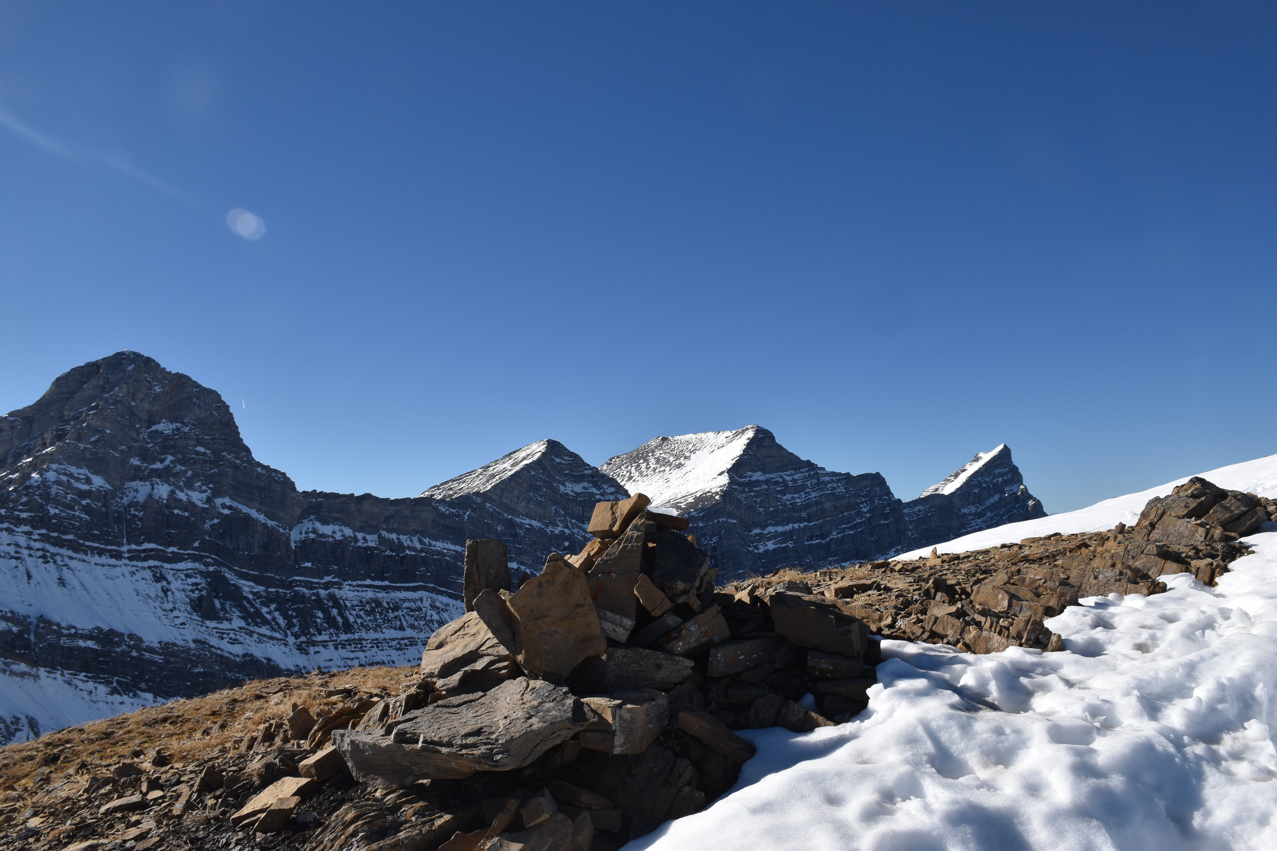
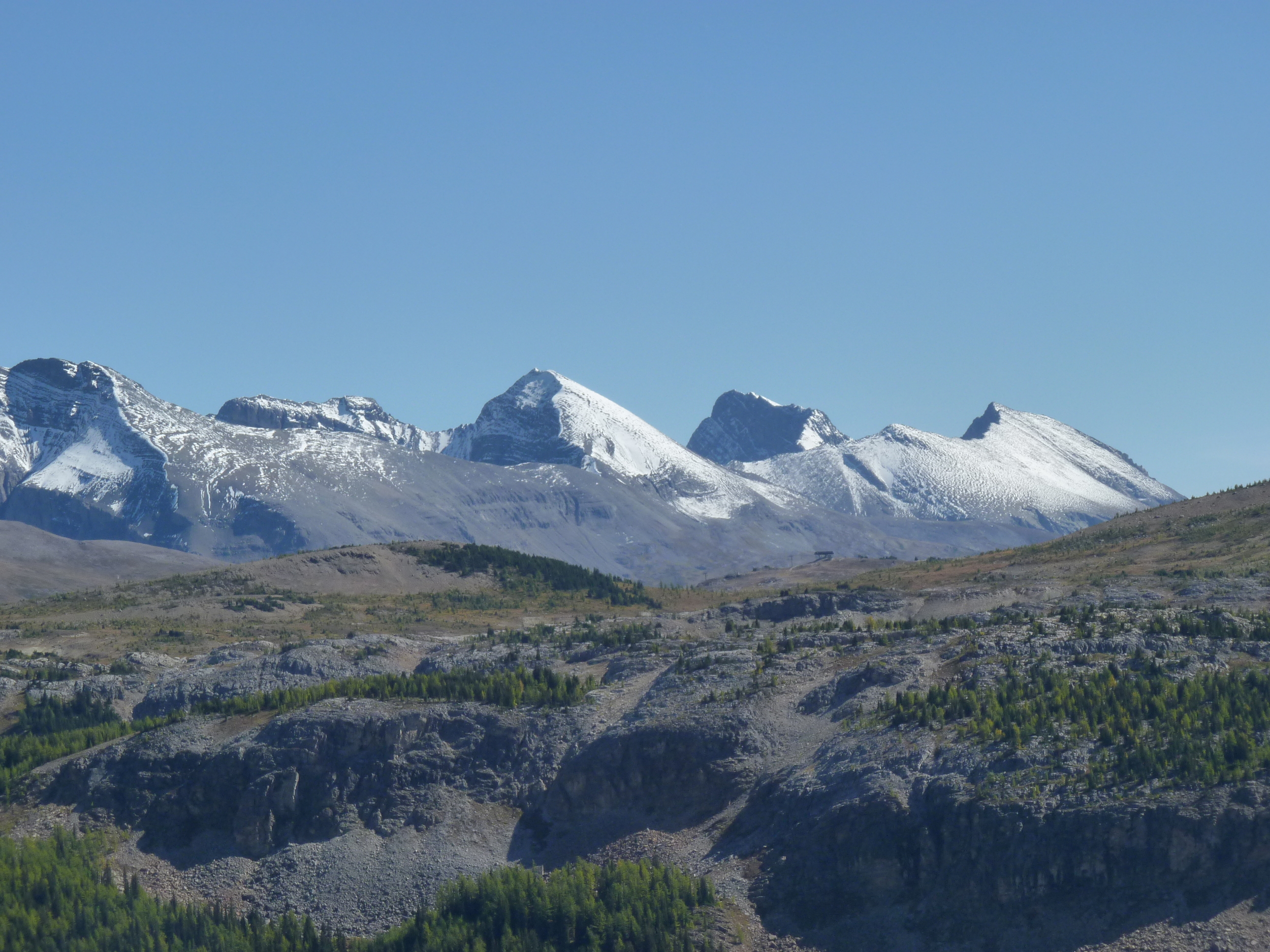
The view from the top is spectacular! Included in that are the four peaks of Lougheed, Mt Bogart, Mt Kidd, the Kananaskis valley, and the continuation of the Centennial Trail to Pigeon Mtn near the TransCanada Highway. For those wanting to do the entire Centennial Trail: I hope your boots feel good! We went back the same way...
The High Rockies Trail

Spray Lakes Reservoir

Spray Lakes Reservoir

The High Rockies Trail is a multi-use trail in Kananaskis Country, that, when completed in late 2016 (or early 2017), will be approximately 80 km long.  It connects the Goat Creek parking lot above Canmore, AB and extends south to Elk Pass at the BC border (see http://kananaskisblog.com/HRTrail/page1.html). This will be a portion of the Trans Canada Trail system.

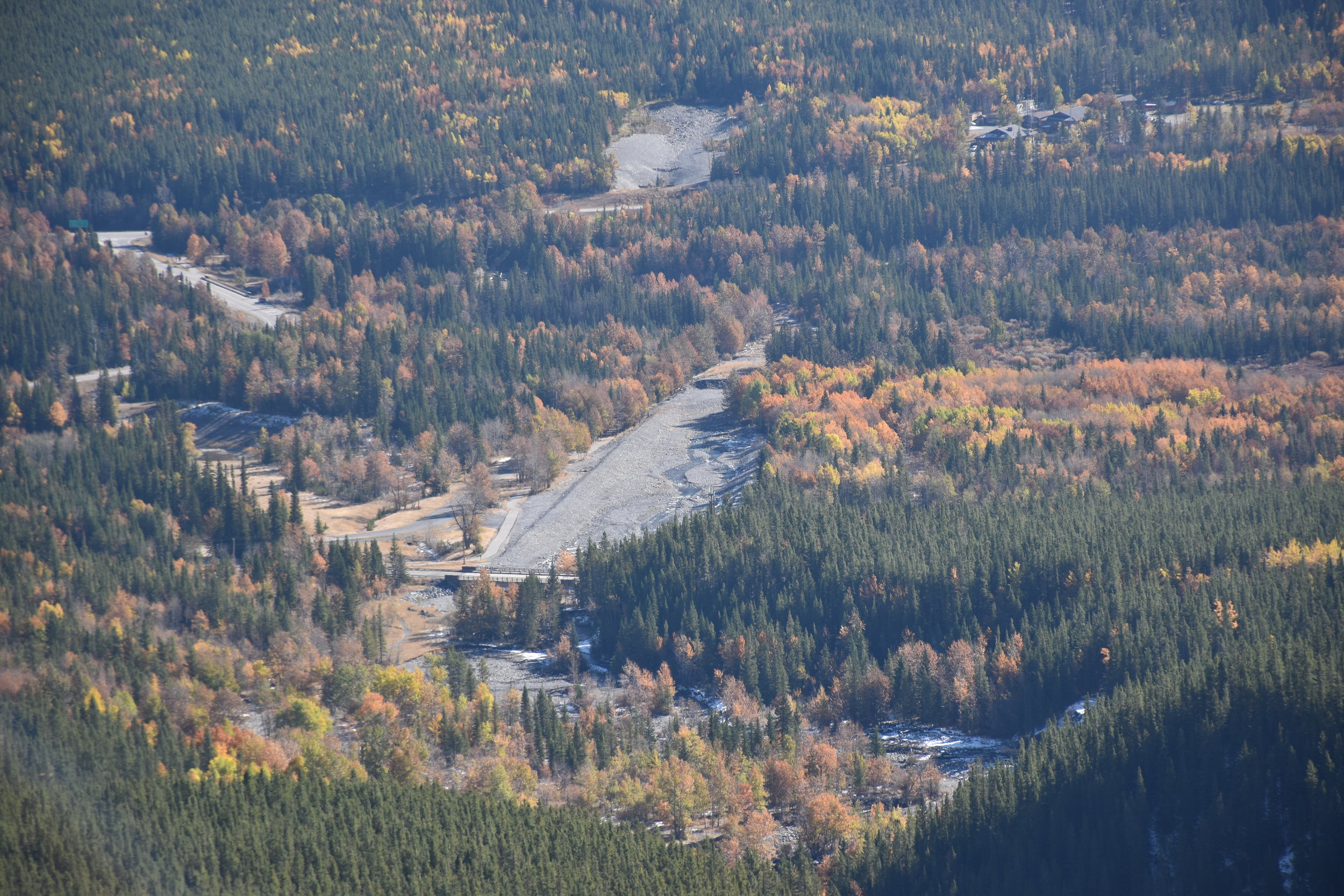
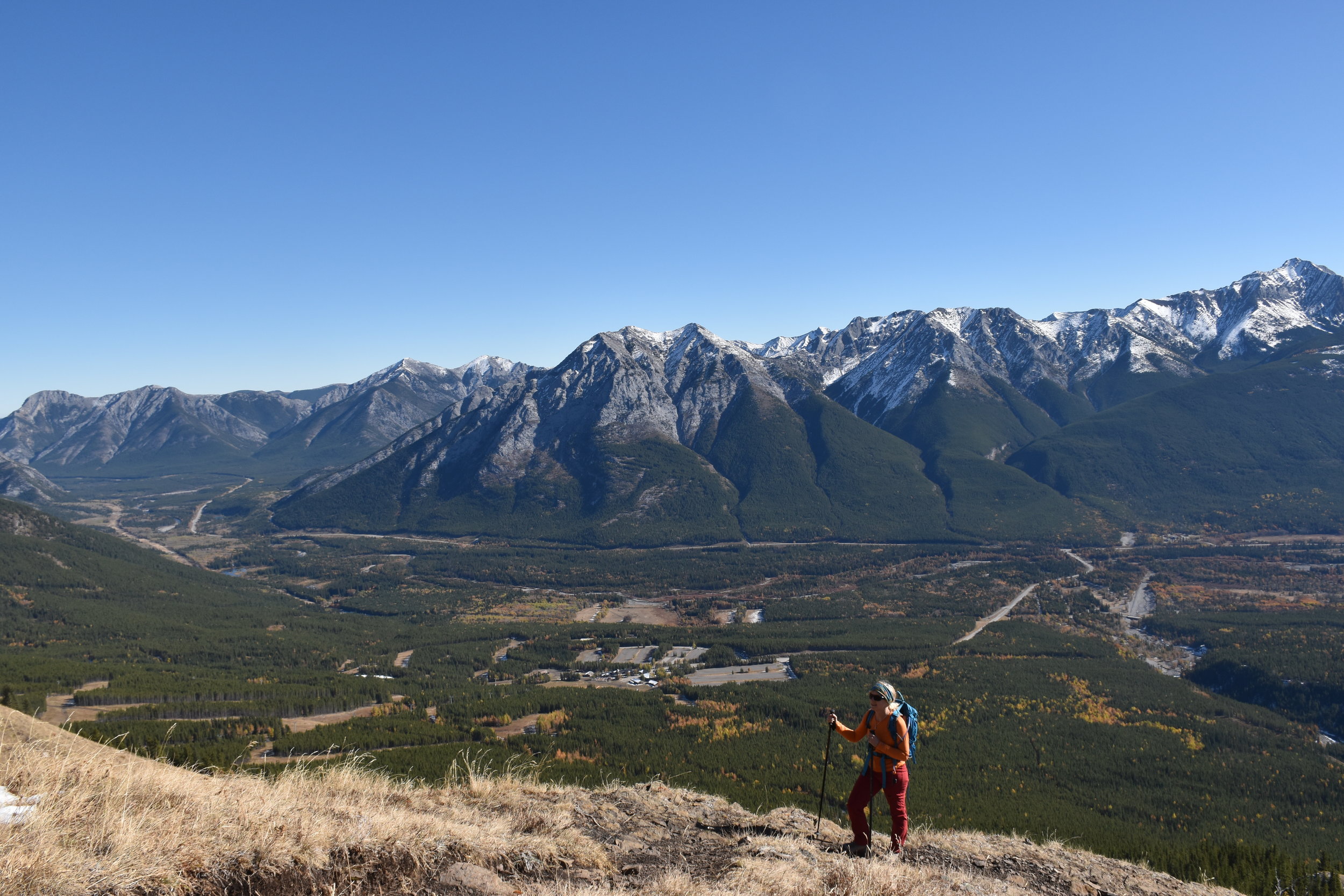
Currently, hikers and bikers are mostly using the section between Driftwood and Buller Creek. This section parallels the Smith Dorrien highway along the Spray Lake reservoir - usually 200-330m above the dusty gravel road (shown on the right side of the picture above, which was taken from Tent Ridge).

We decided to test out that particular section on Canada Day (2016) on mountain bikes. Driftwood is about 25 minutes from Grandview Chalet B&B in Canmore. We parked there, crossed the road, and started climbing. Initially, the trail is pretty "cobbly", but then becomes more clay surfaced, wide and flows nicely. The bridges are exceptional, as you traverse the bases of mountains like Wind Tower, Sparrowhawk and Buller. 

Somebody measured out about 15 km and 500m of climbing each way. We were certainly tuckered at the end of the return ride. But we had smiles on our faces - lots of jumps, and banked corners!

Note that on this section of the trail, the only real views are where you cross an avalanche slope on Mt Buller. These slopes have to be carefully considered in winter (fat bikers!).

A view of Spray Lakes from the HR Trail

A view of Spray Lakes from the HR Trail

When a lot more of this trail system is complete, it will be a major attraction! Plans apparently include a big snowshoe centre at Sawmill, warming huts, etc. Should be great!

Healy to Harvey: A spectacular alpine traverse

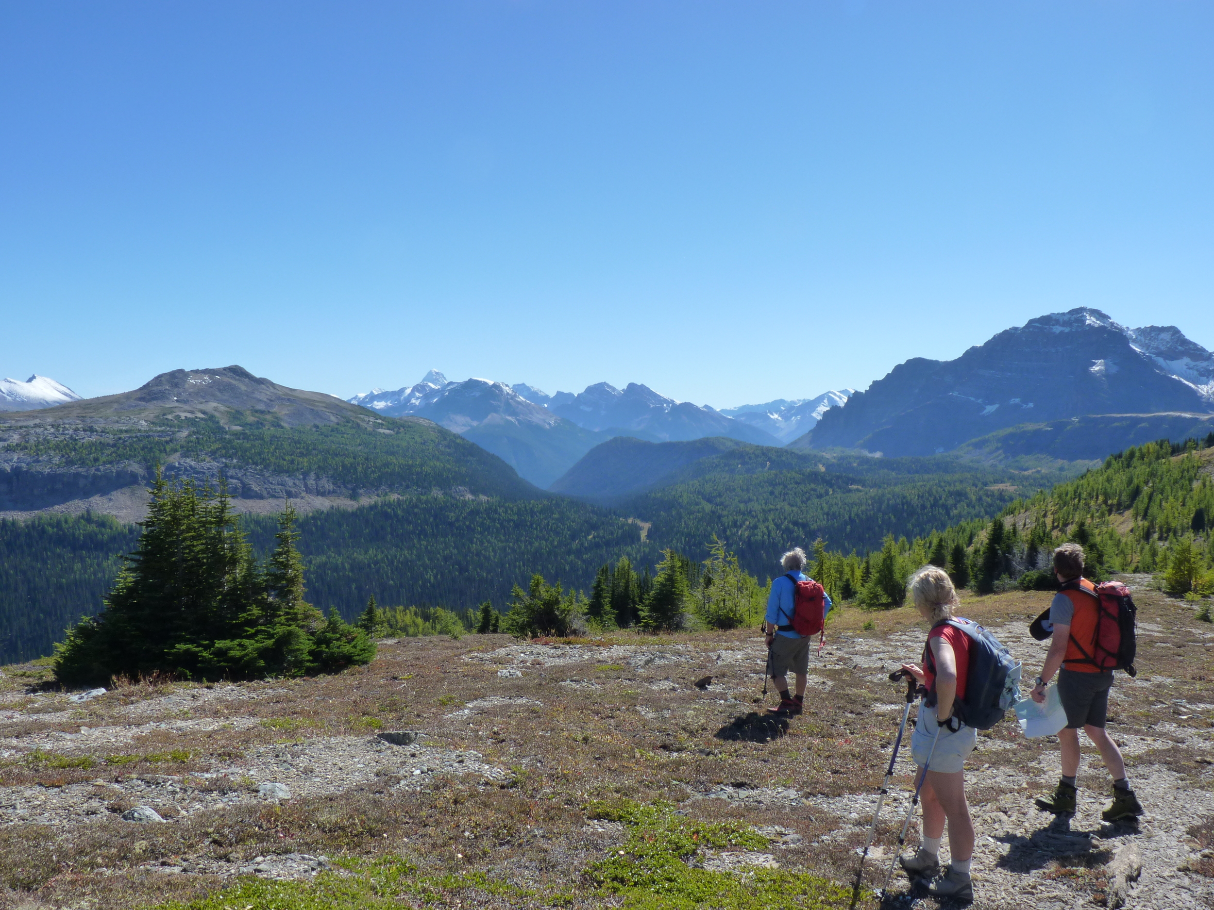
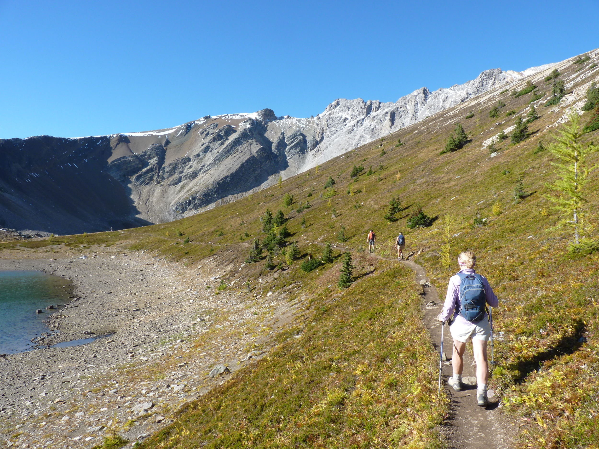
Between some rainy spells, the Canadian Rockies were in a short September heat wave. Last Friday, we went for a hike in the high alpine that was stunning, albeit a fair distance (8 hours). We dropped a car at the Bourgeau Lake trailhead on the TransCanada highway (west of the Banff townsite), then drove up to the Sunshine Ski Area parking lot. Healy Pass, from there,  is a 655m elevation gain - but since you're starting up high, it's really not long before you're in the alpine.

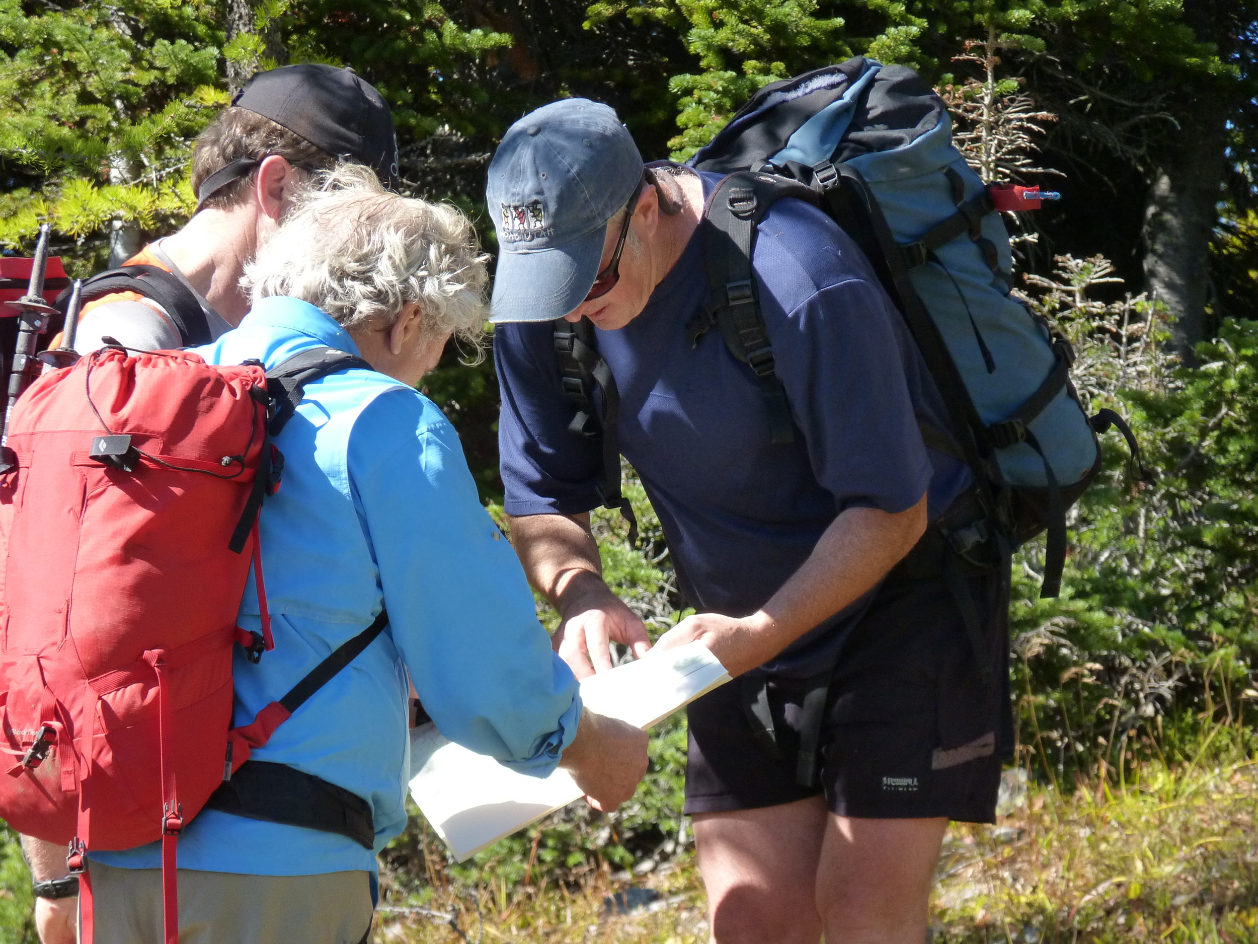
Once at Healy, where there are views of Egypt Lake, you can wander towards Harvey Pass. We picked our own route - the massive peak of Bourgeau is a pretty good landmark as you go up ridges, and cross various sub-basins. A map is a pretty good idea - even on a brilliant day.

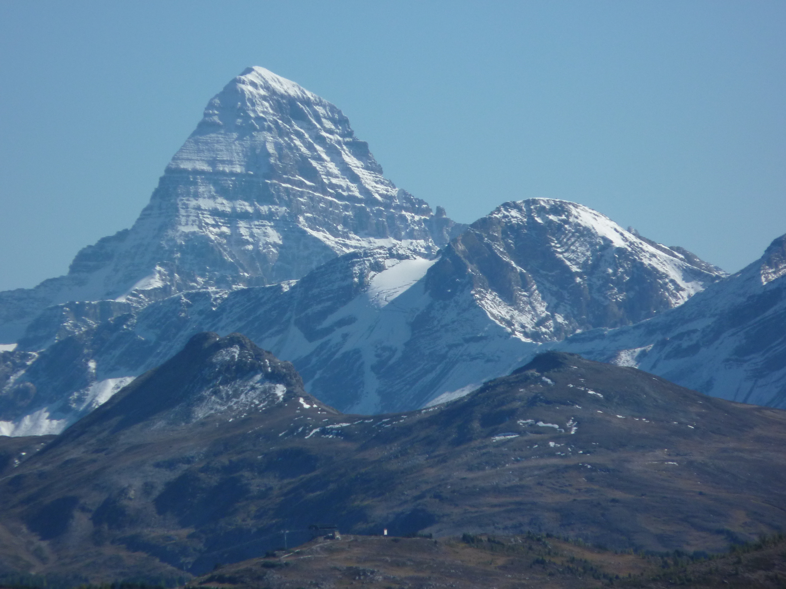
On this day, the bluebird skies highlighted the recent snows on various peaks including Monarch, Assiniboine (3620m), Goat's Eye, Lookout, , and the infamous Delirium Dive ski route off Lookout. Once at Harvey Pass, which is on your way to the peak of Bourgeau, you descend for 1035m (3400') back to where you hopefully left the car and some comfortable sandals.

The start of this hike is only 30 minutes west of Grandview Chalet B&B in Canmore.