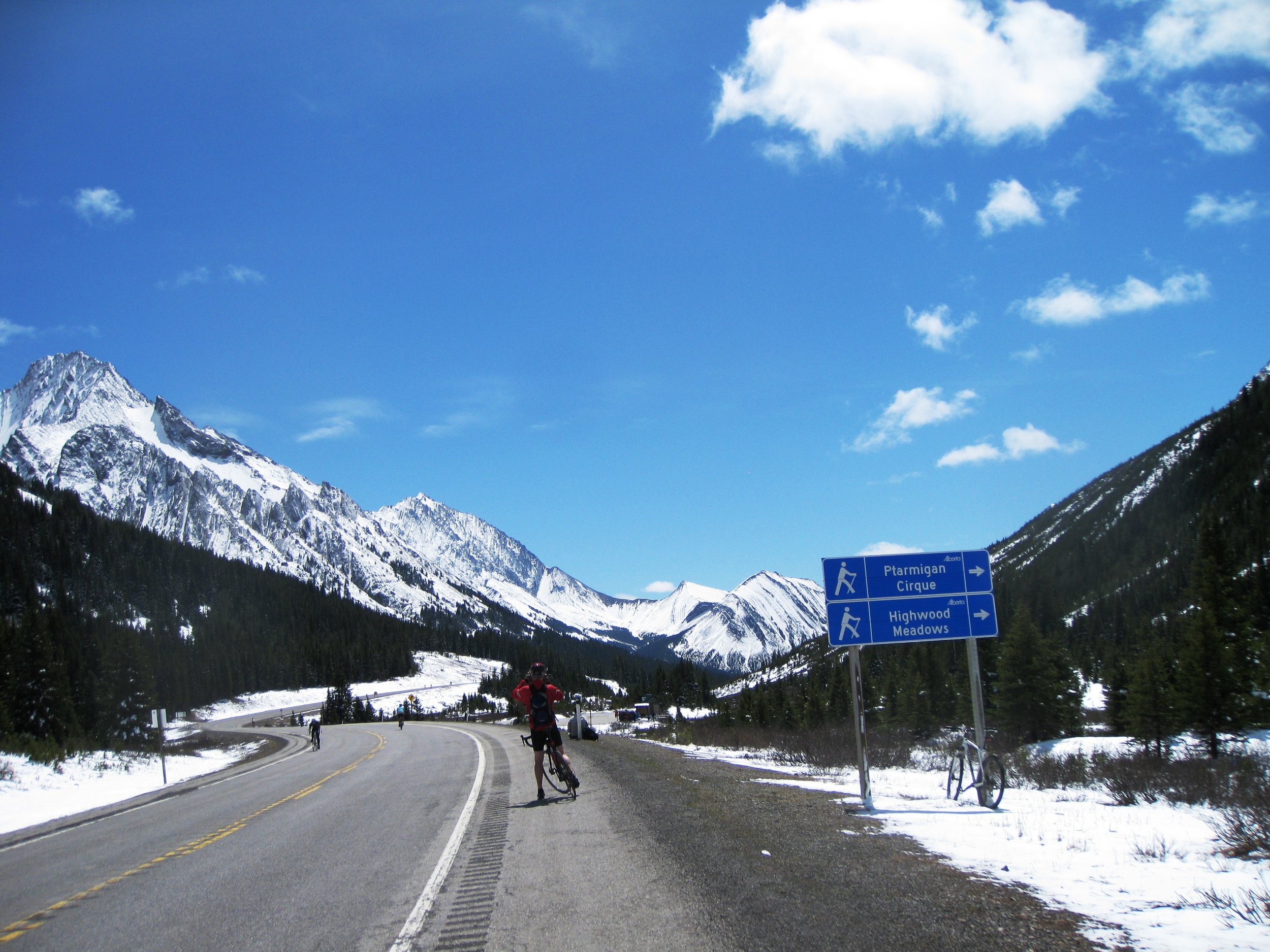
South Centennial Trail to Mt Allan
/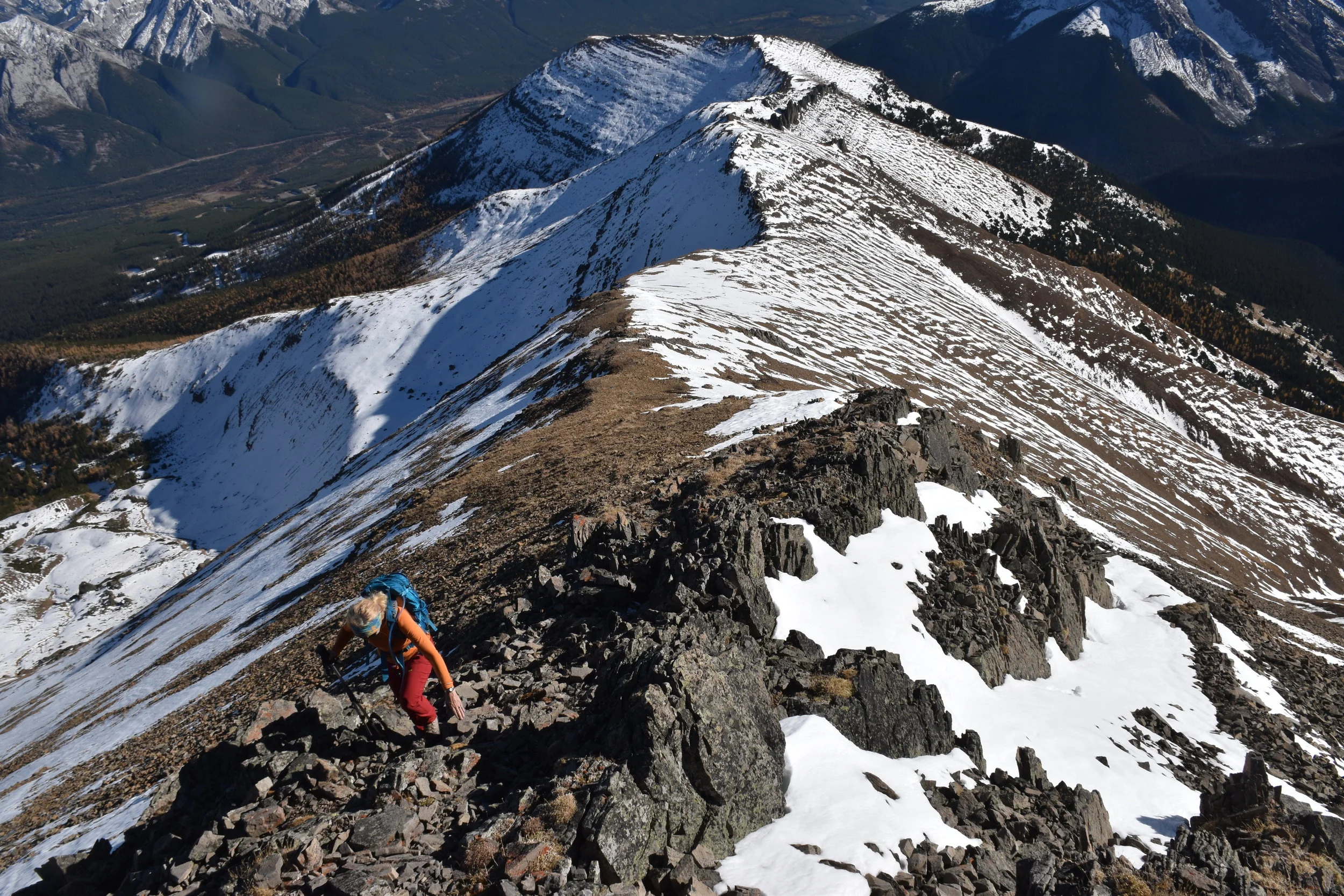
nearing the peak....
Oct 5, 2017
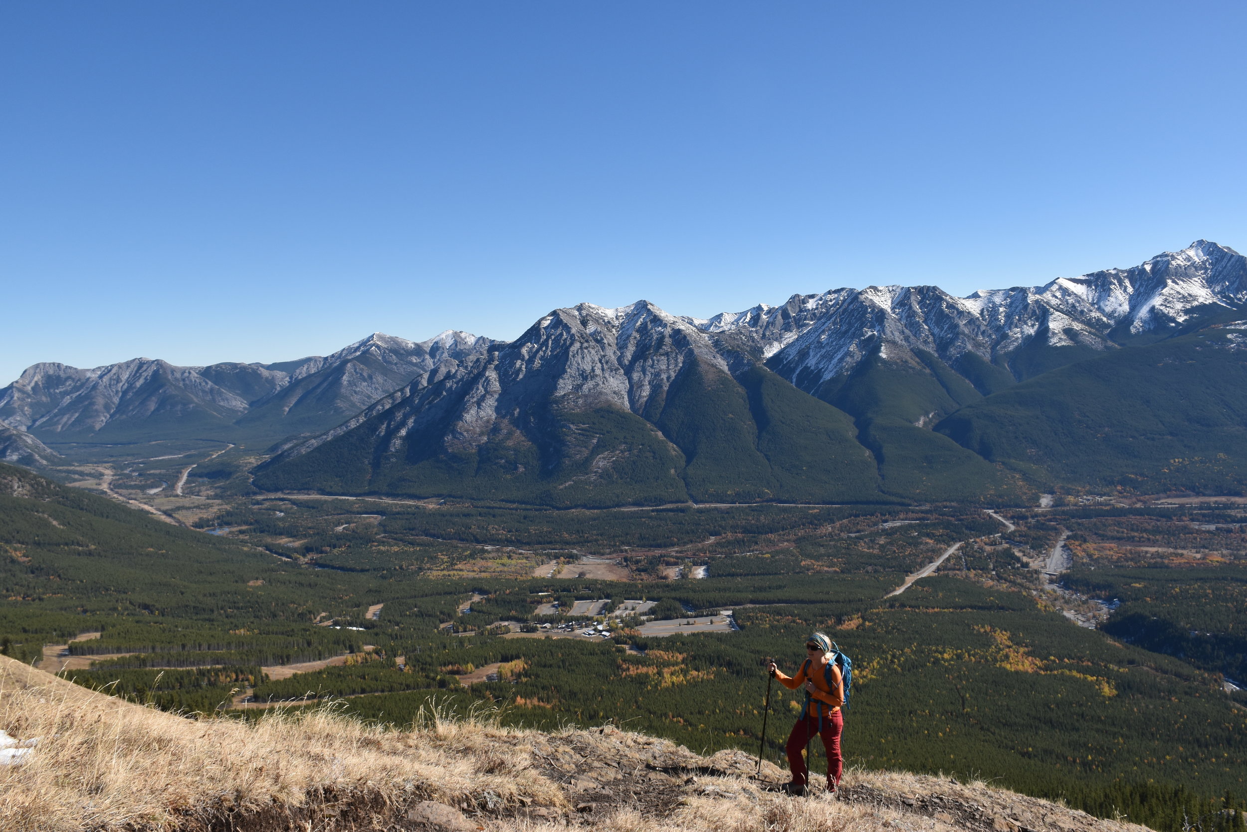
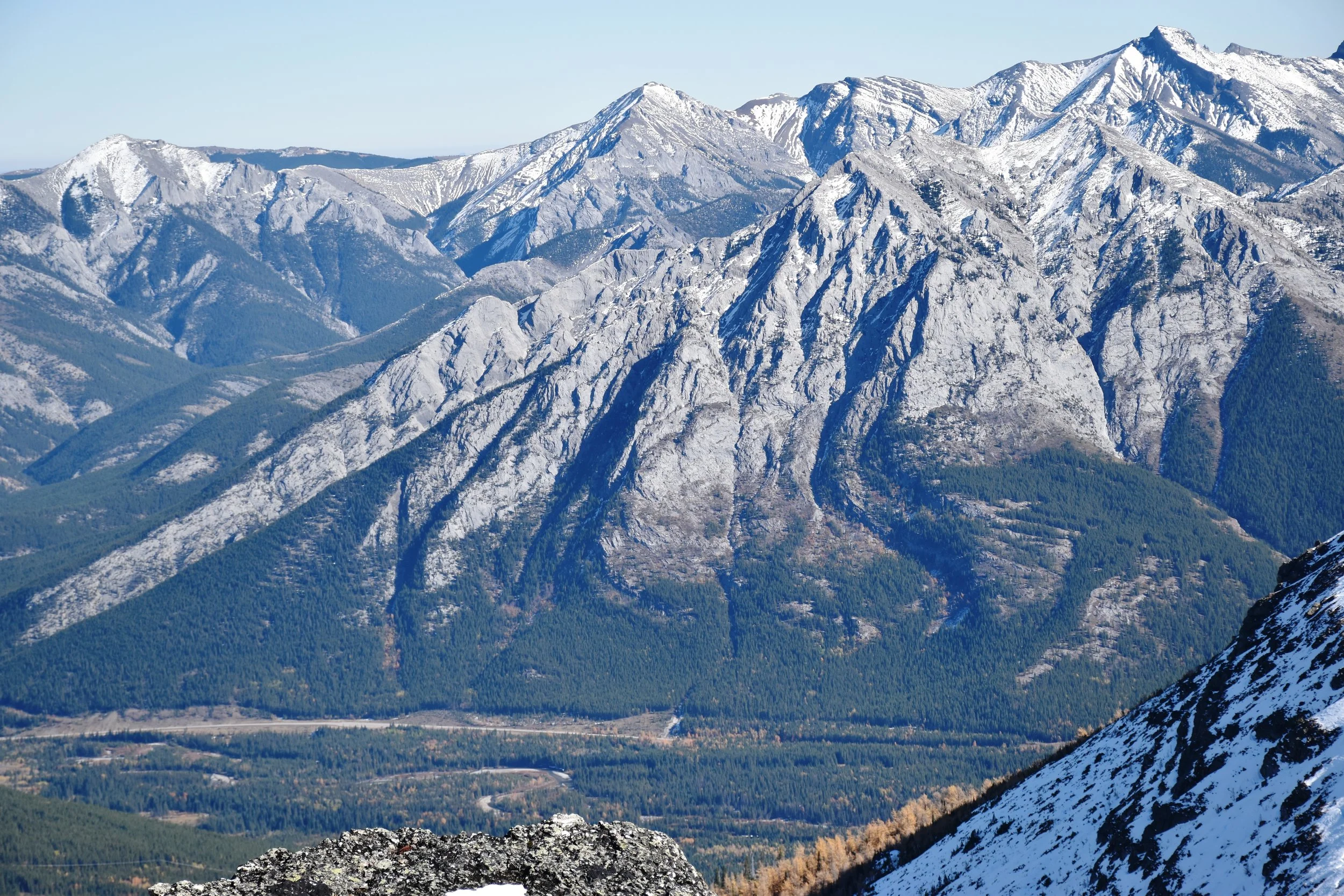
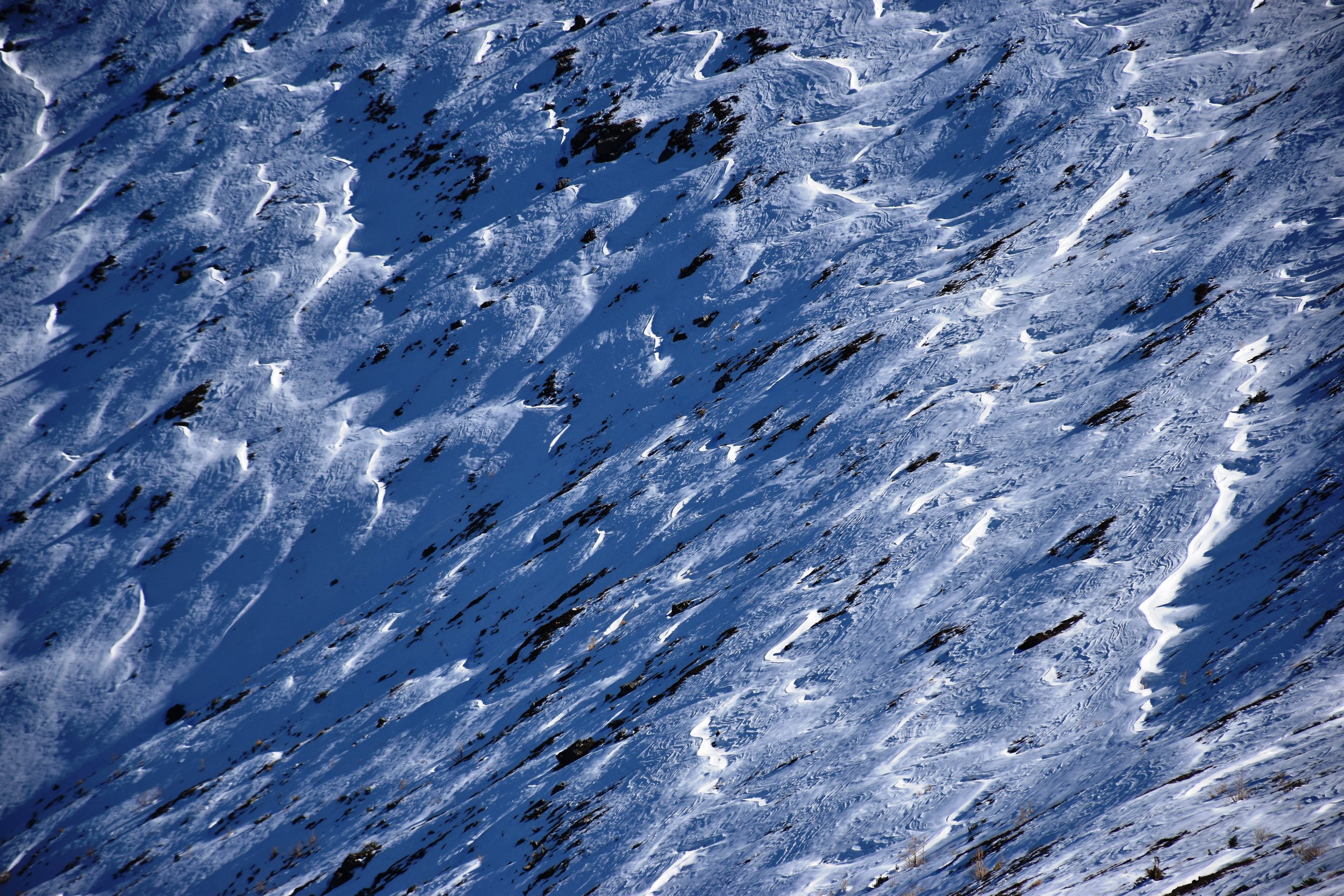
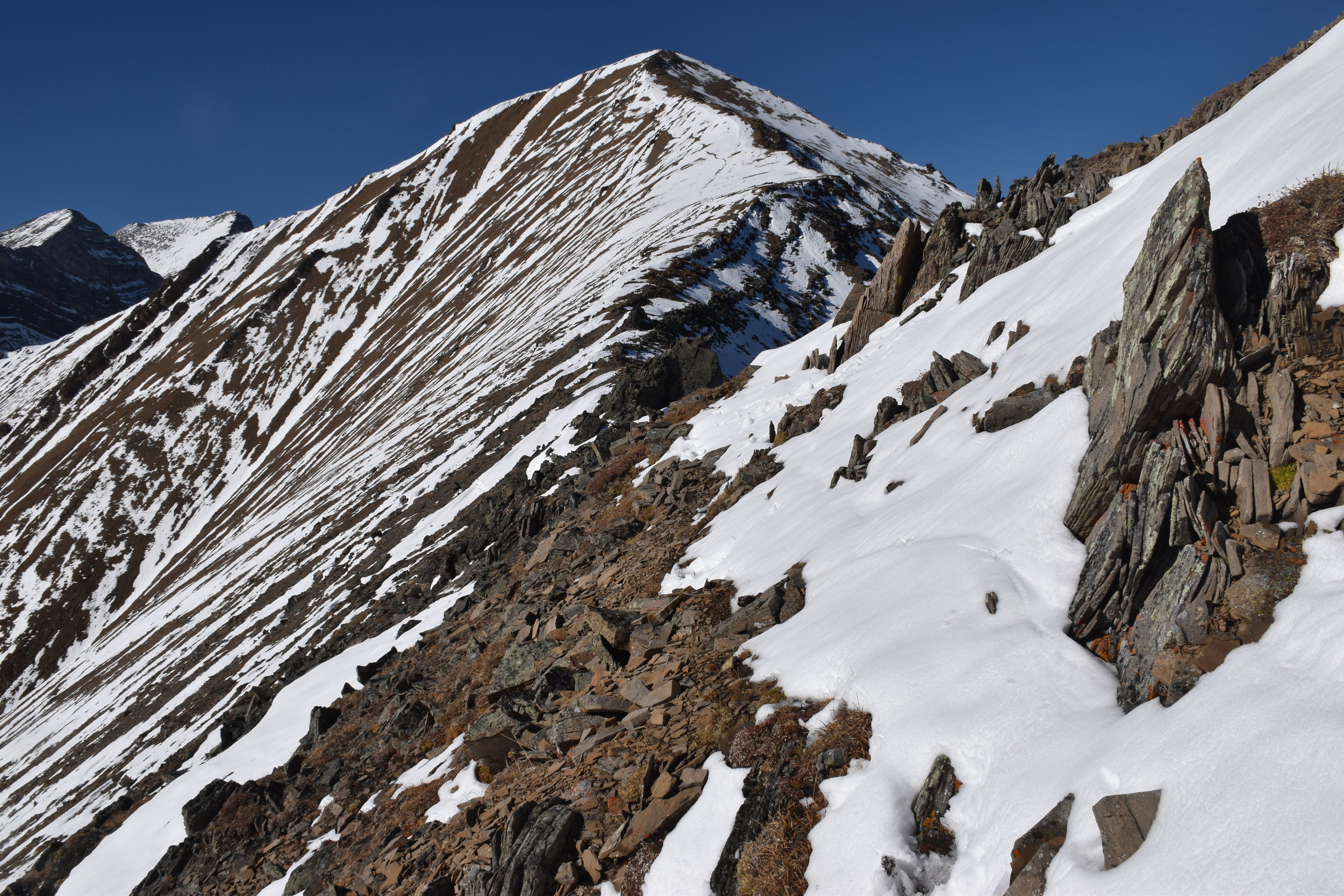
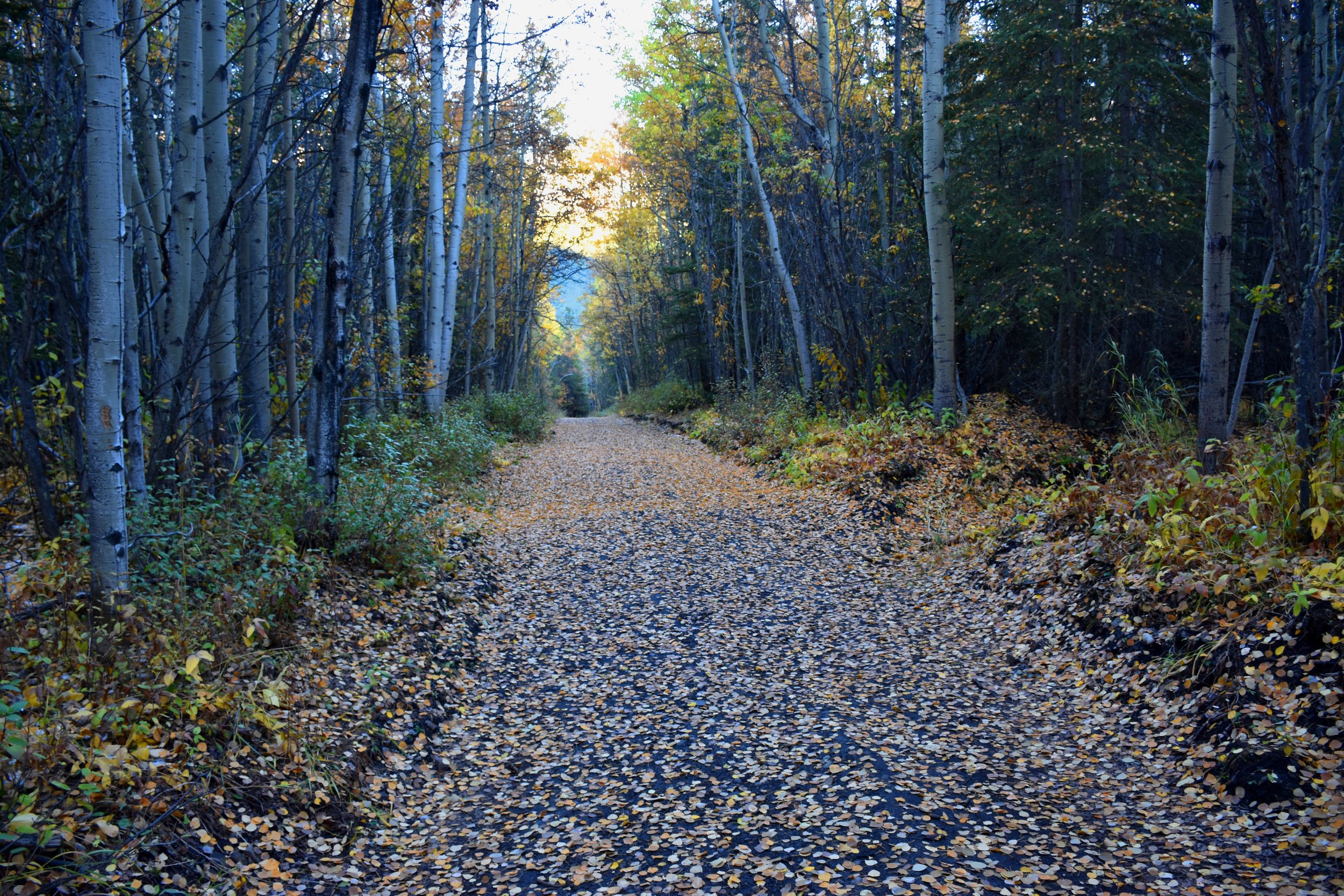
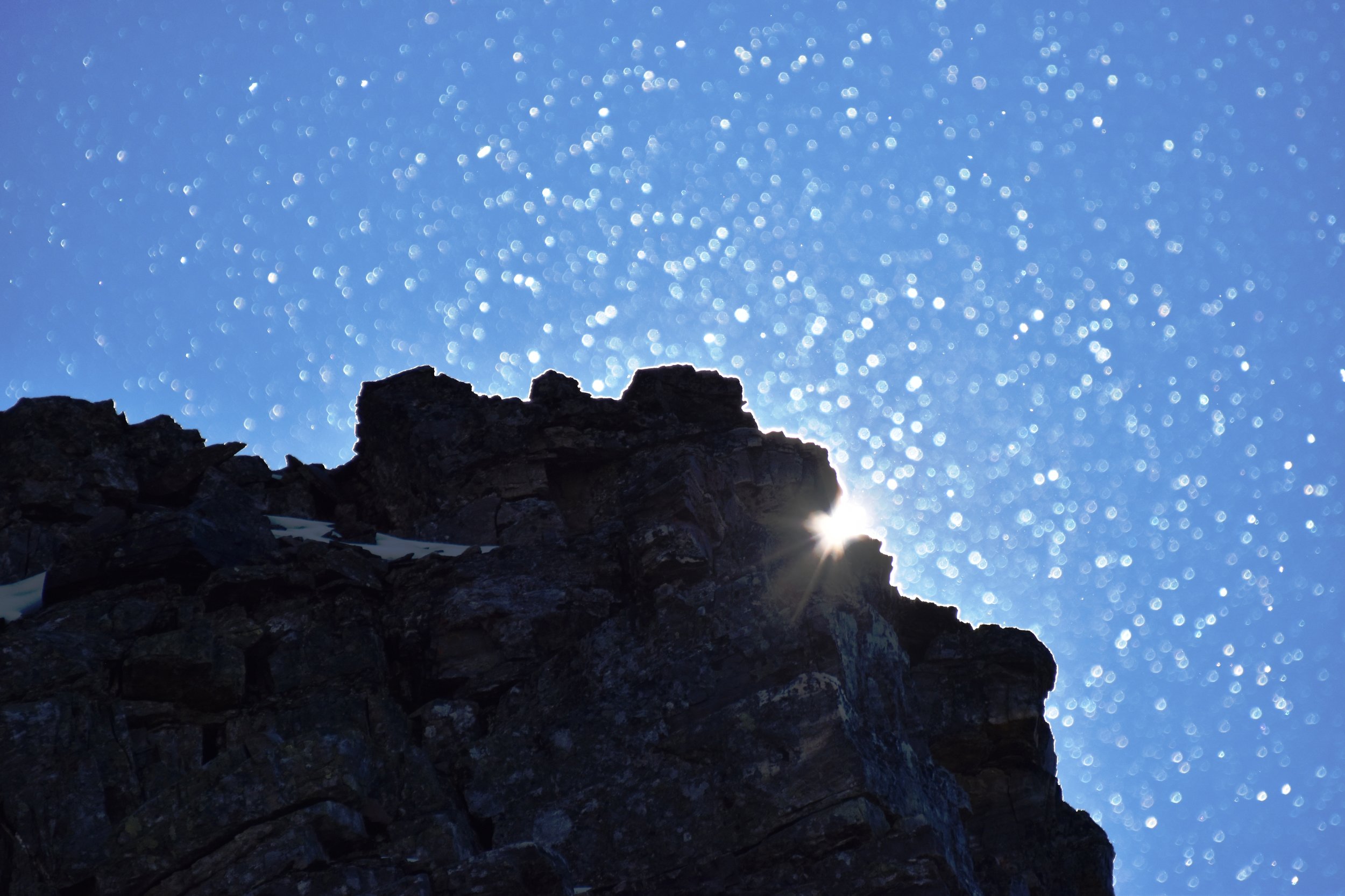
The Centennial Trail is a classic ridge walk, created by the Calgary Rocky Mountain Ramblers in 1966 for Canada's 100th birthday. It's easily accessed (35 minutes from Grandview Chalet B&B in Canmore, AB), and wastes little time before taking you to tremendous views. Within 20 minutes, you're out of the trees and into the blue (weather depending). On this early October day, there was almost no breeze (unusual!), but there was snow from a weather event days before.
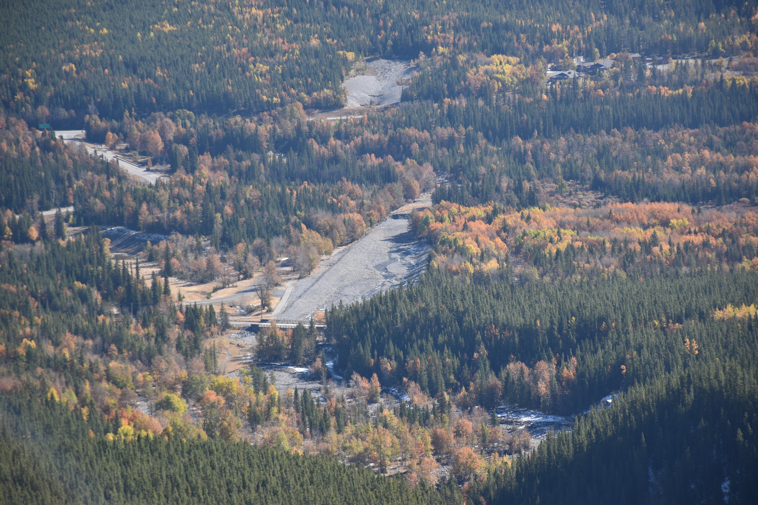
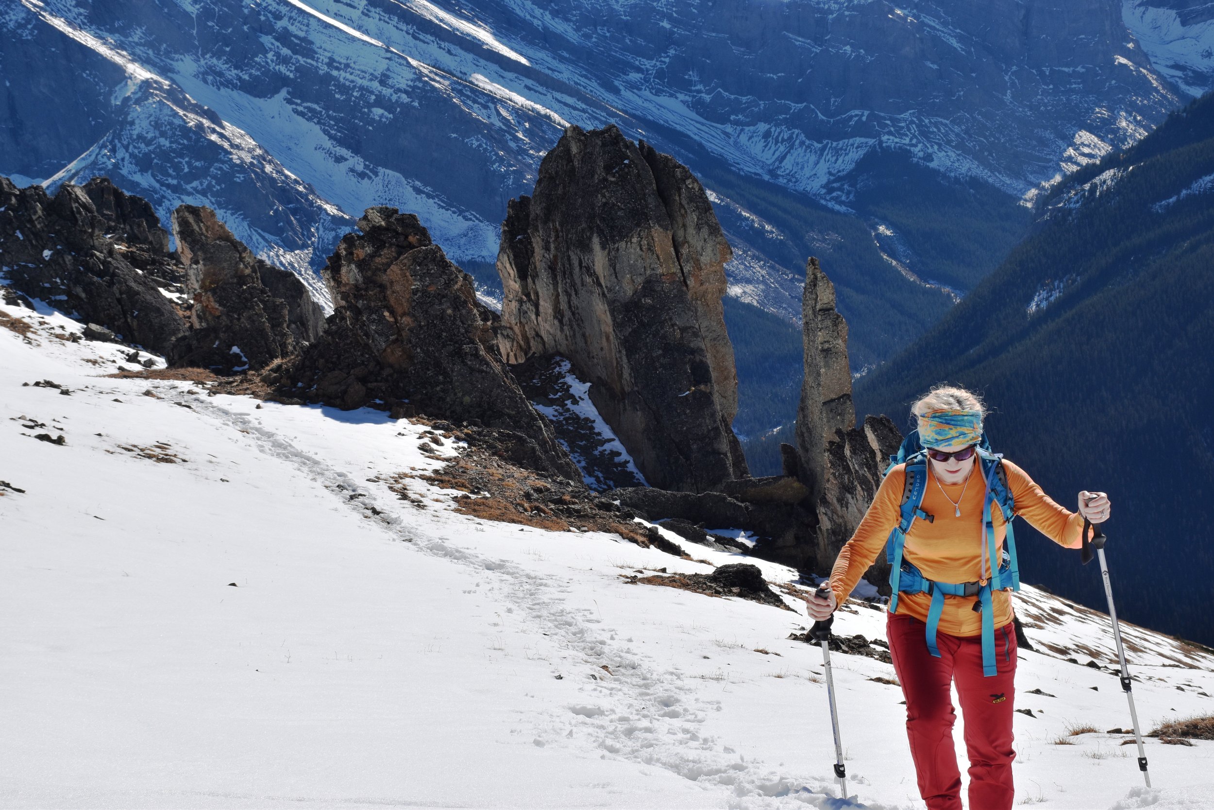
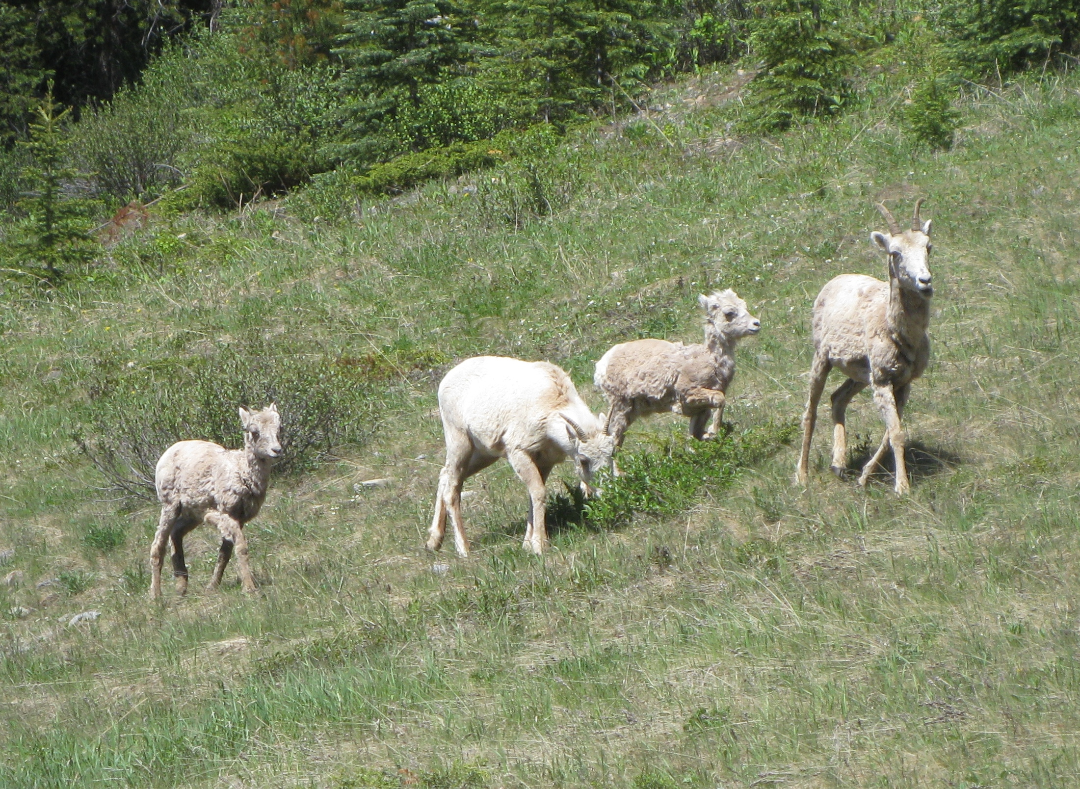
To reach the peak of Mt Allan is 7.8 km and 4450 ft (1356m) up a mainly steep hike, with brief intervals of easy scrambling. The trailhead is at Ribbon Creek near Kananaskis Village. Poles are highly recommended when there is snow on the route! The total return trip length was 7.5 hours, including relaxing stops in the sun along the way, and a pleasant rest at the peak. This route is closed in the spring for big horn sheep lambing (until June 1), evidenced by the myriad of game paths over the grassy windward slopes.
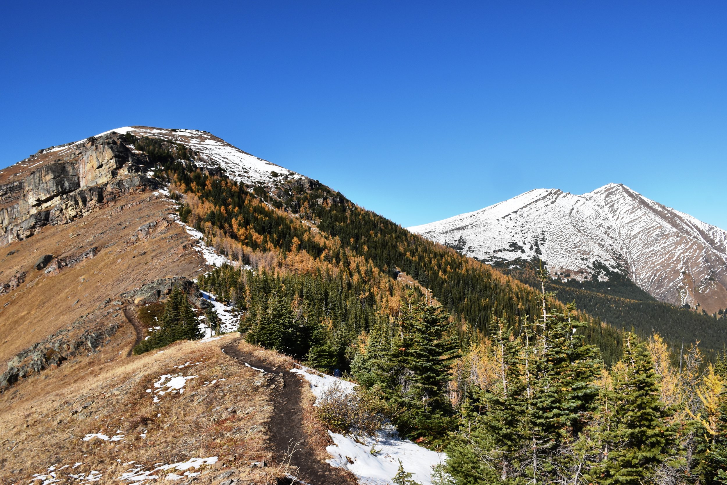
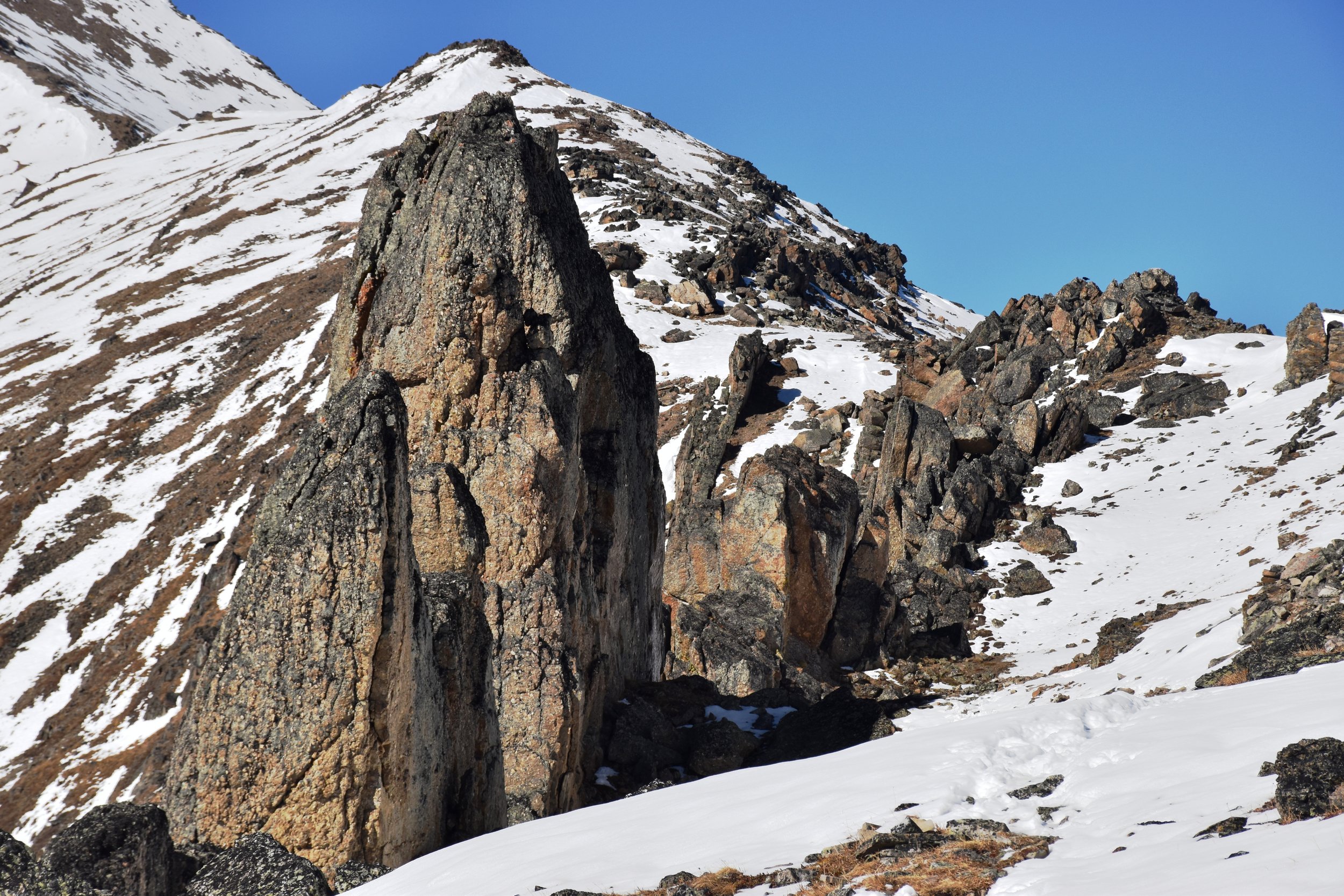
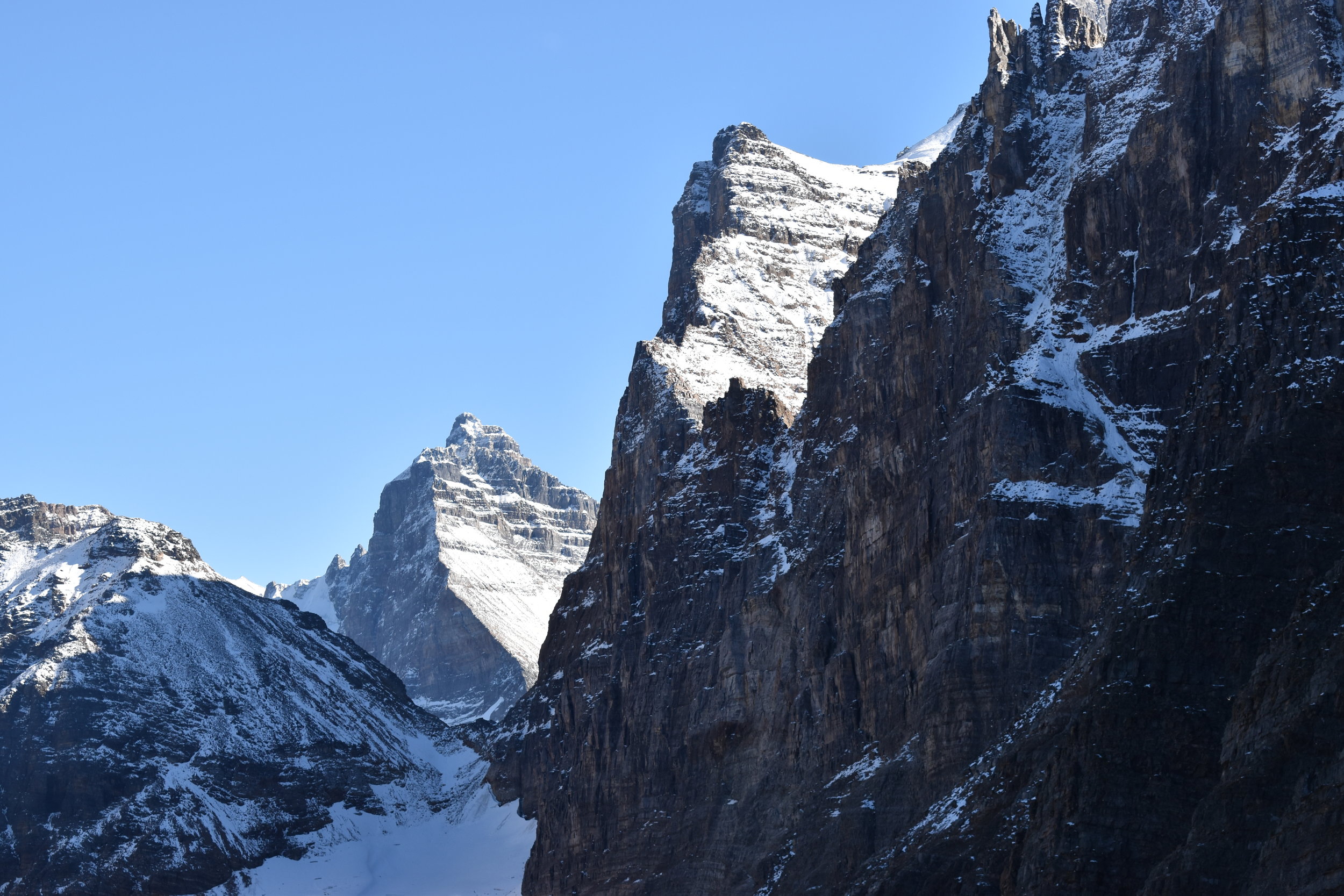
About 2 hours up, you pass by a few weather stations (Nakiska Ridgetop) overlooking the Nakiska ski area below. Shortly thereafter, you go over a false peak, and drop for a while before climbing into the "dragon's back" teeth, which is the coolest part of the hike. Here, Mesozoic chert conglomerate pinnacles up to 20m high line up along the ridge, being considerably more resistant to erosion than the surrounding shales. Chert cobbles are all over the place.
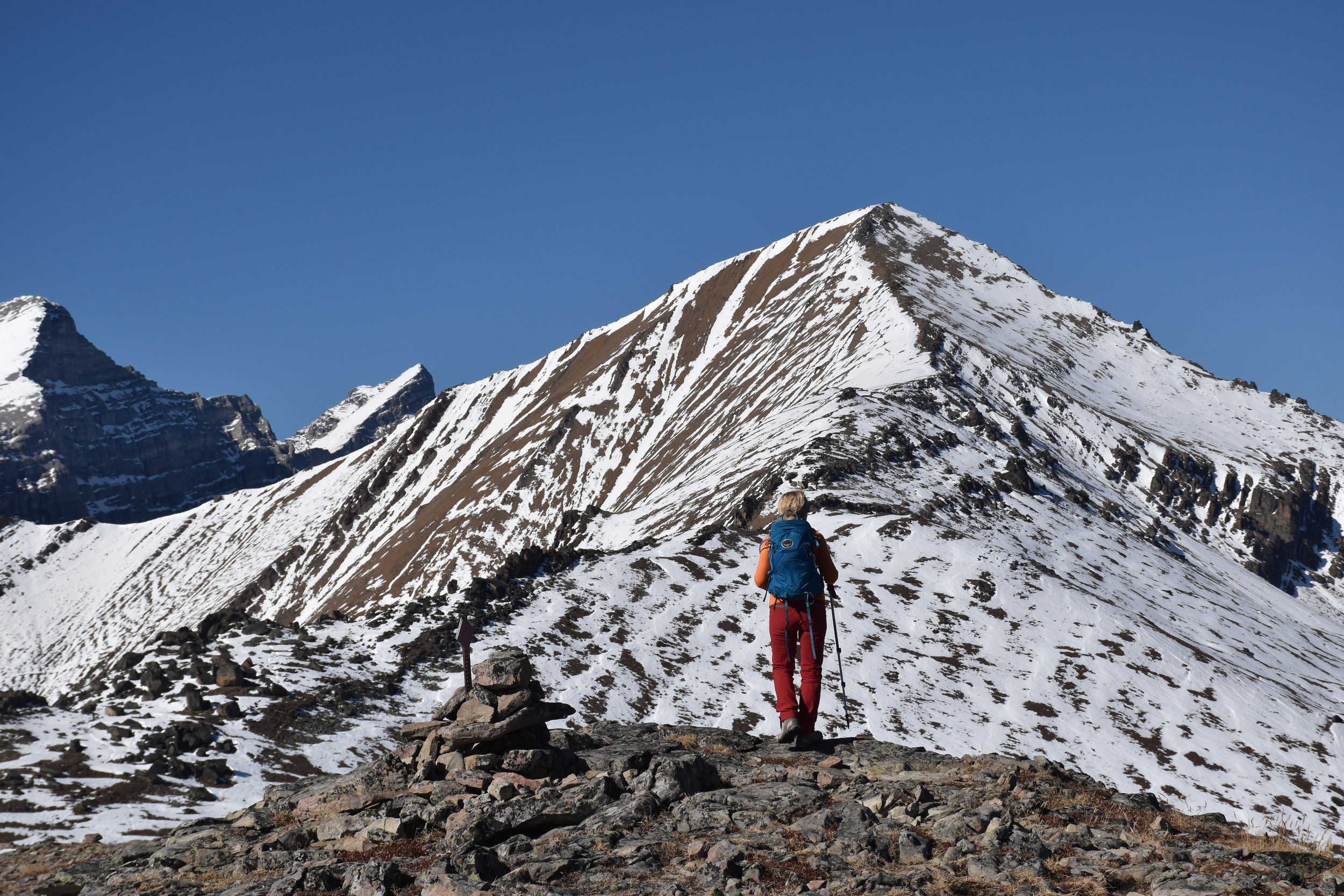
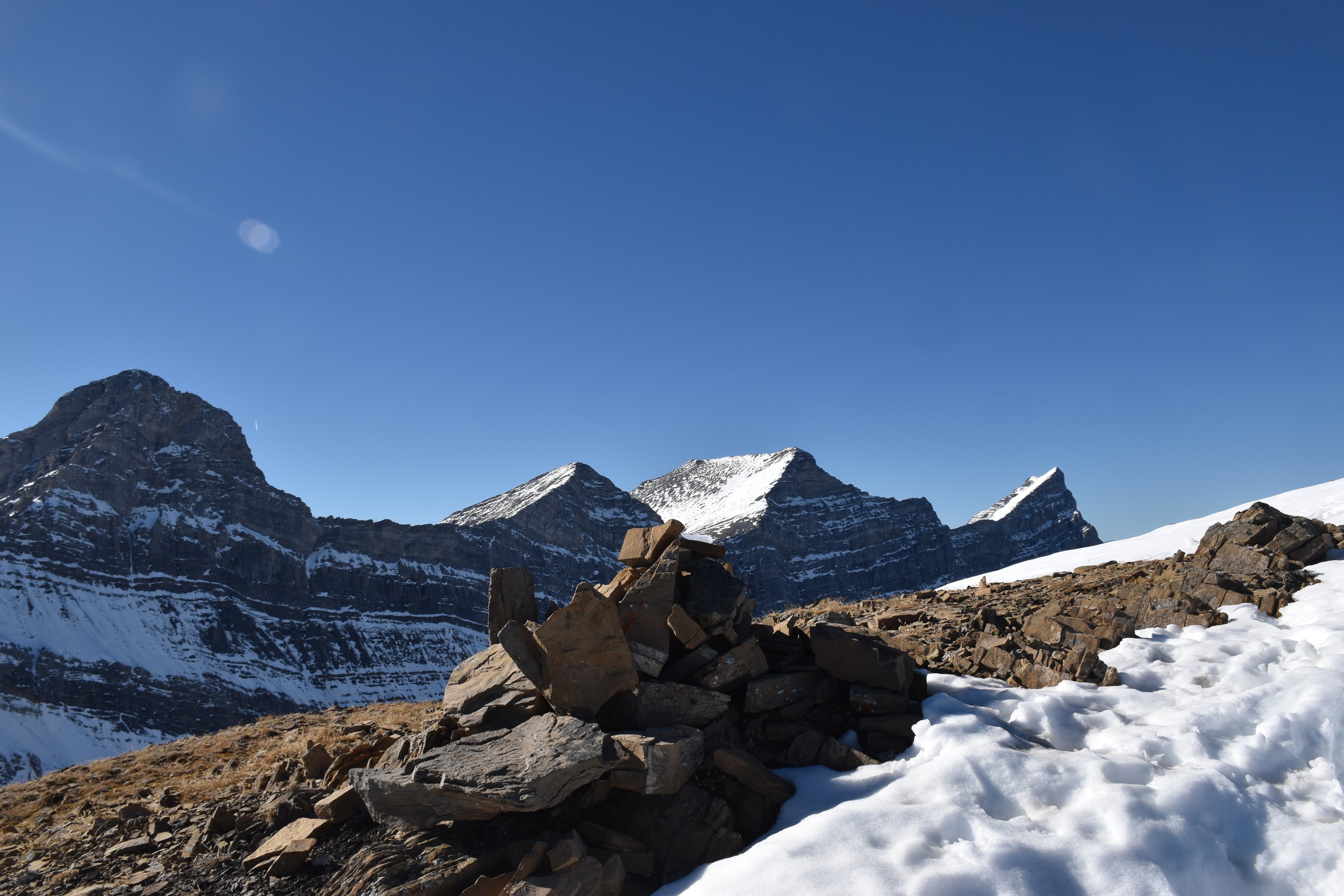
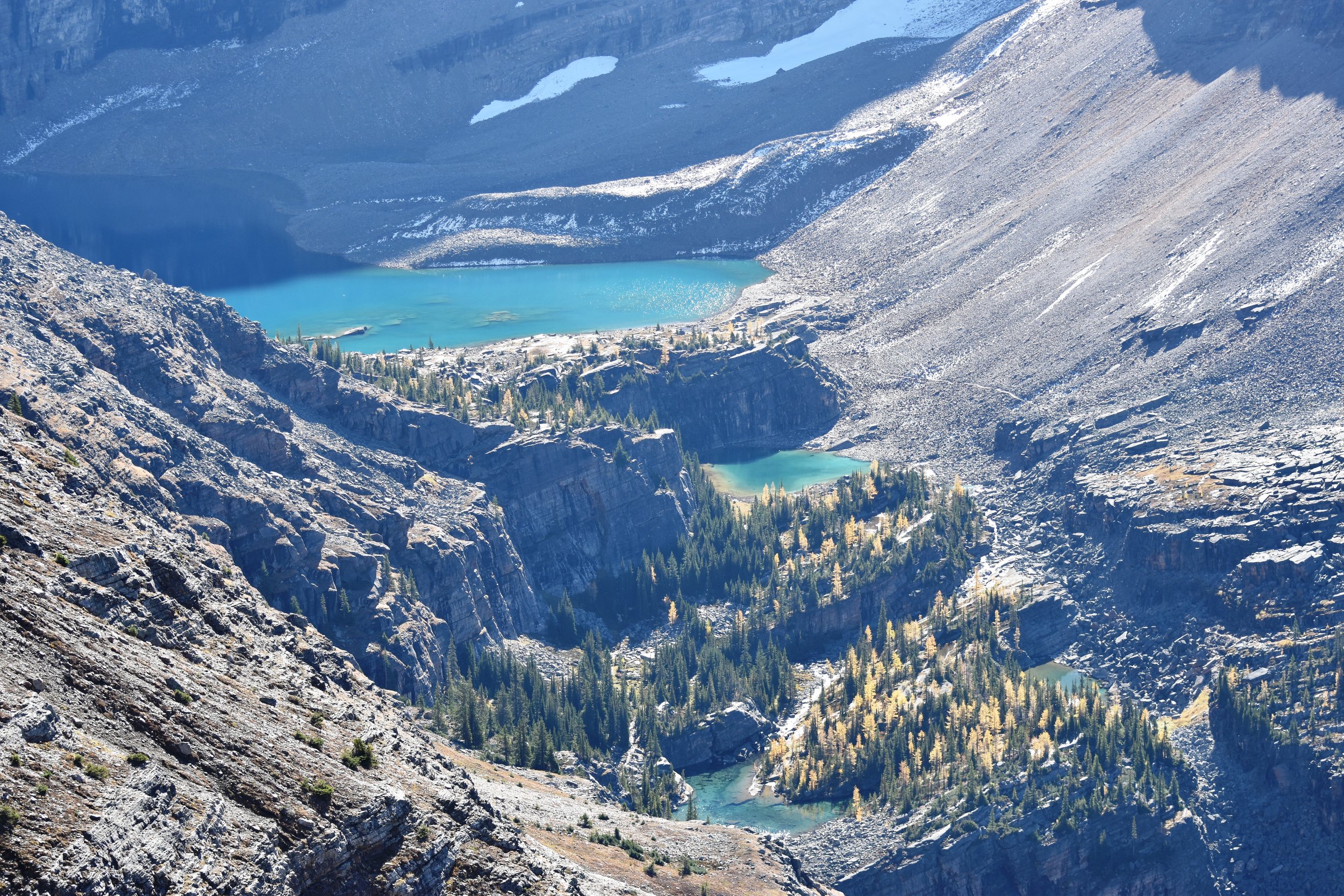
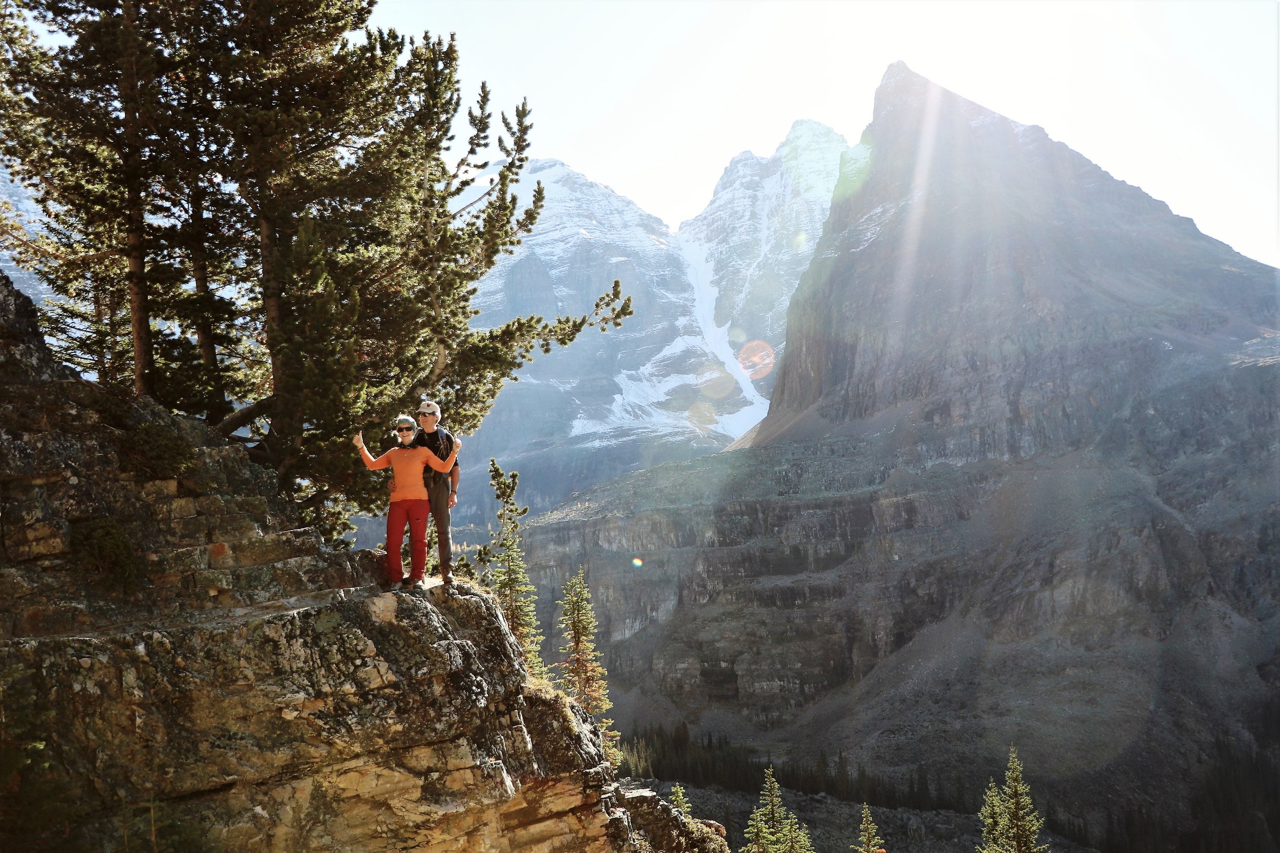
The view from the top is spectacular! Included in that are the four peaks of Lougheed, Mt Bogart, Mt Kidd, the Kananaskis valley, and the continuation of the Centennial Trail to Pigeon Mtn near the TransCanada Highway. For those wanting to do the entire Centennial Trail: I hope your boots feel good! We went back the same way...