The High Rockies Trail
/
Spray Lakes Reservoir
The High Rockies Trail is a multi-use trail in Kananaskis Country, that, when completed in late 2016 (or early 2017), will be approximately 80 km long. It connects the Goat Creek parking lot above Canmore, AB and extends south to Elk Pass at the BC border (see http://kananaskisblog.com/HRTrail/page1.html). This will be a portion of the Trans Canada Trail system.
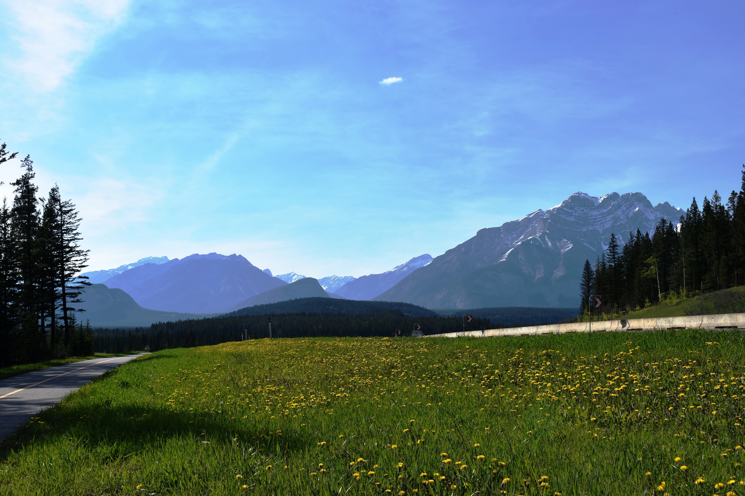
Currently, hikers and bikers are mostly using the section between Driftwood and Buller Creek. This section parallels the Smith Dorrien highway along the Spray Lake reservoir - usually 200-330m above the dusty gravel road (shown on the right side of the picture above, which was taken from Tent Ridge).
We decided to test out that particular section on Canada Day (2016) on mountain bikes. Driftwood is about 25 minutes from Grandview Chalet B&B in Canmore. We parked there, crossed the road, and started climbing. Initially, the trail is pretty "cobbly", but then becomes more clay surfaced, wide and flows nicely. The bridges are exceptional, as you traverse the bases of mountains like Wind Tower, Sparrowhawk and Buller.
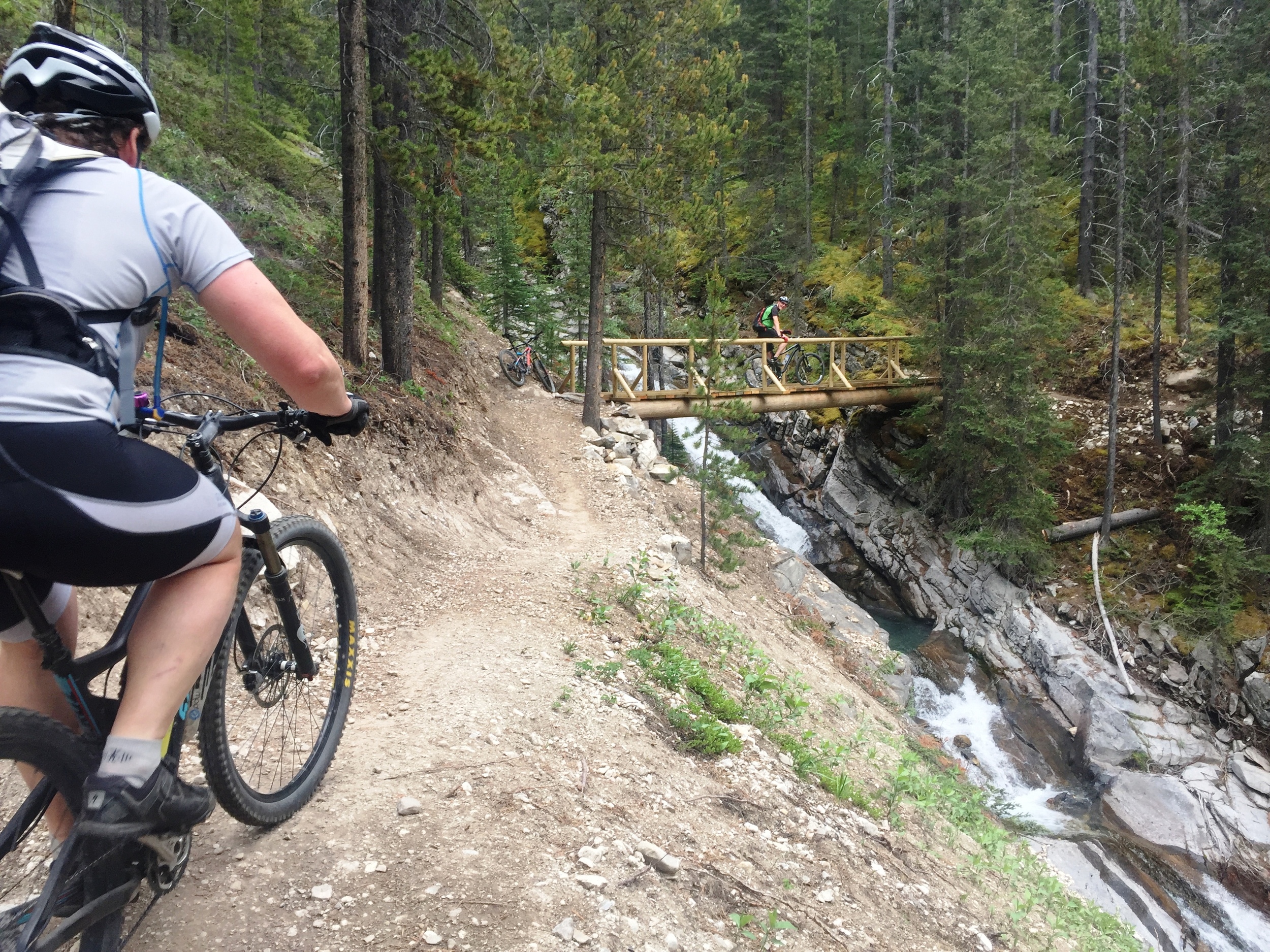
Somebody measured out about 15 km and 500m of climbing each way. We were certainly tuckered at the end of the return ride. But we had smiles on our faces - lots of jumps, and banked corners!
Note that on this section of the trail, the only real views are where you cross an avalanche slope on Mt Buller. These slopes have to be carefully considered in winter (fat bikers!).
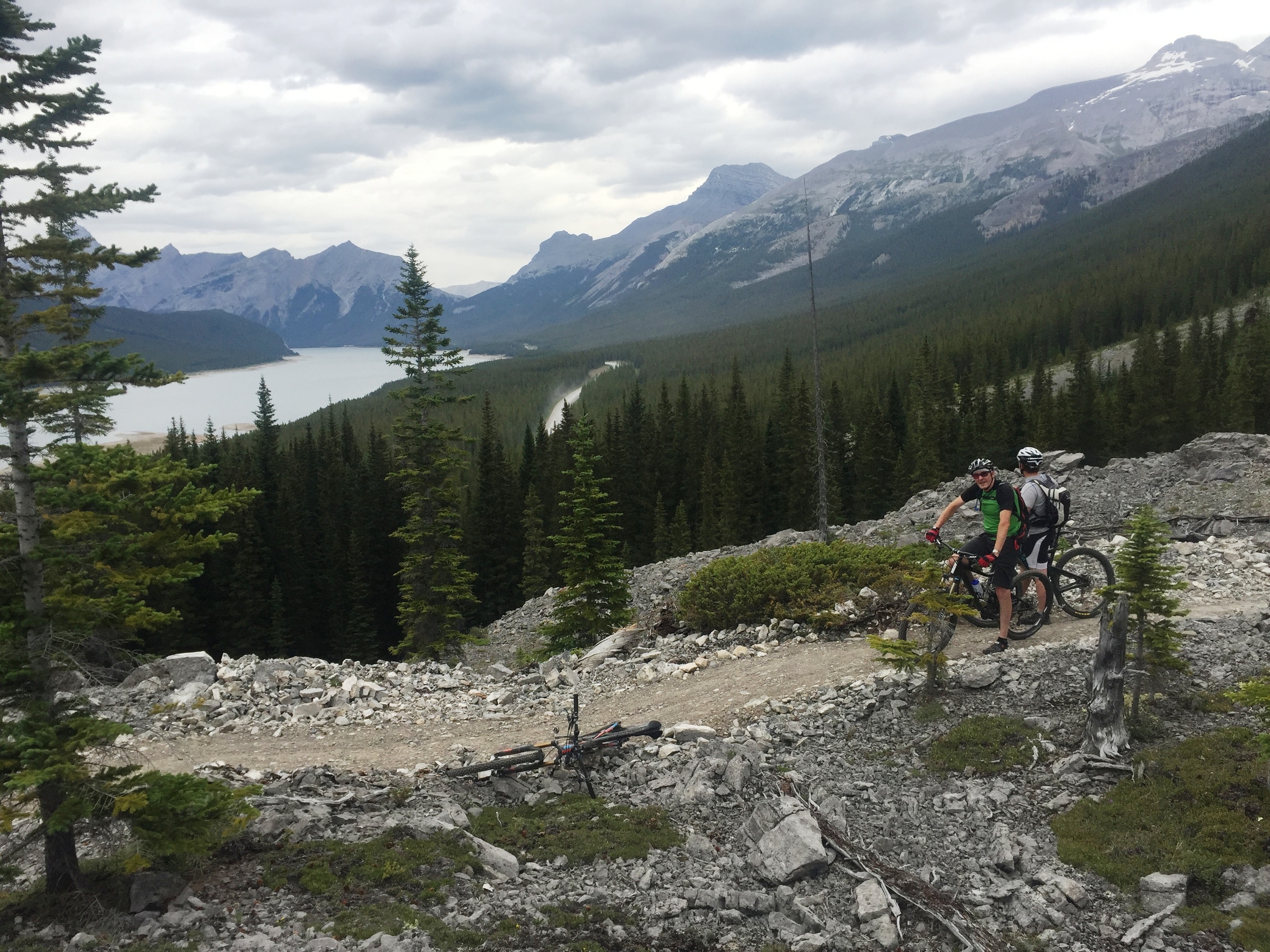
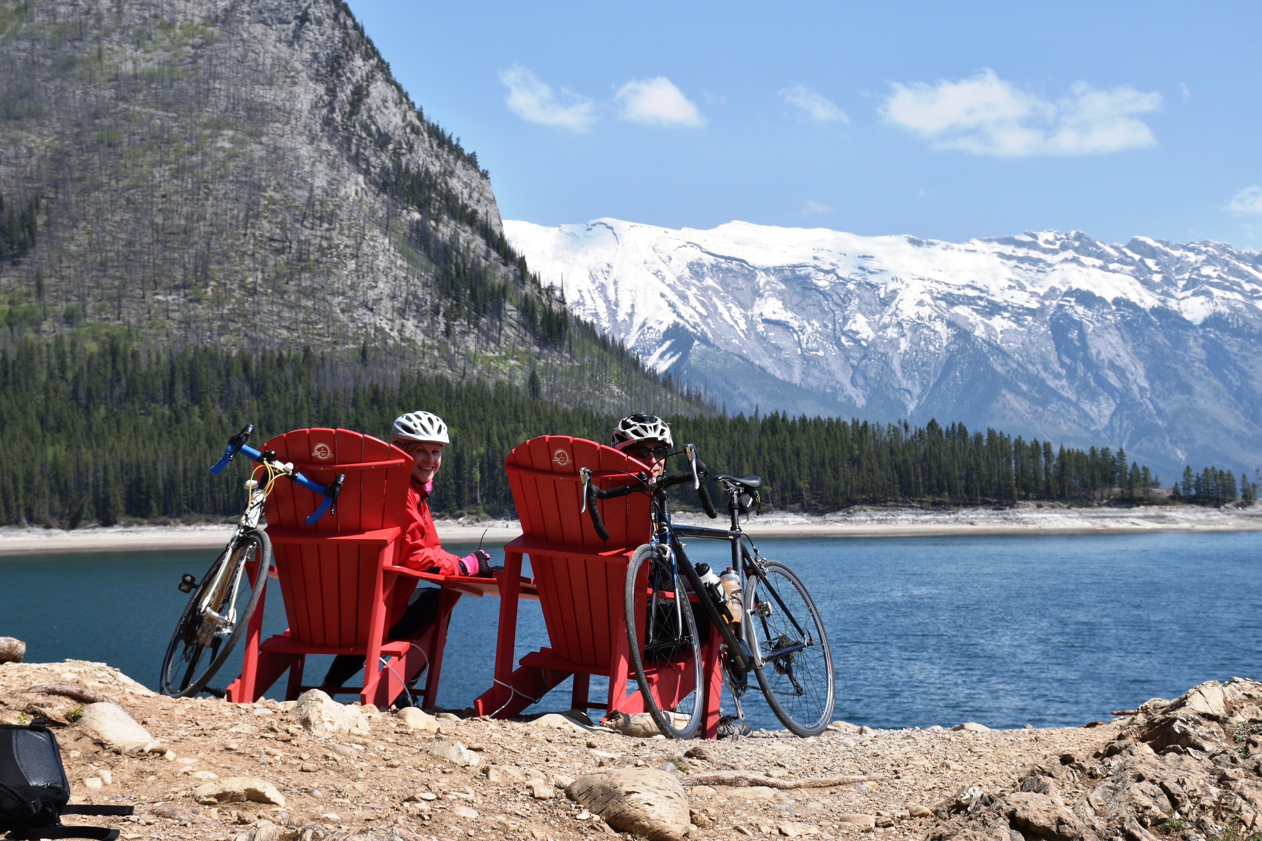
A view of Spray Lakes from the HR Trail
When a lot more of this trail system is complete, it will be a major attraction! Plans apparently include a big snowshoe centre at Sawmill, warming huts, etc. Should be great!